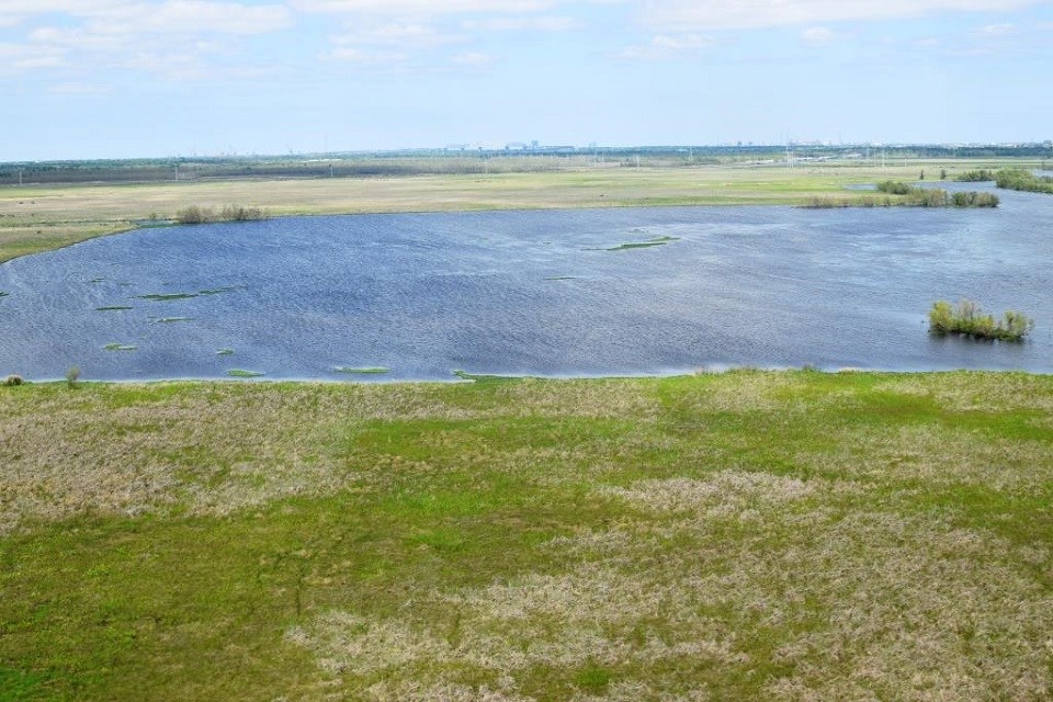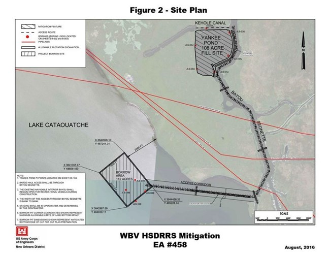
In August 2017, a major project began at the Barataria Preserve to mitigate freshwater marsh damage caused by post-Hurricane Katrina levee improvements by the US Army Corps of Engineers. Levee work damaged wetlands in the New Orleans area by covering them with levees, floodwalls, or other structures, by using them as sources for levee materials, and by disturbing them for temporary construction needs like roads and material stockpiles. The mitigation project will rebuild and protect freshwater marsh within the preserve to compensate for wetlands damage caused by levee work in the area. There are two parts to the project: the geocrib and Yankee Pond. The geocrib work will protect shoreline and encourage native marsh plant species. The geocrib was an old shoreline protection project built along the edges of Lake Salvador on the preserve's west side. The geocrib was replaced by a long stretch of rocks designed to protect shoreline from erosion, but the area is still referred to as the geocrib. The rock protection system includes "fish dips," low spots in the rocks that allow aquatic organisms to pass through. The project will reengineer the fish dips for better performance. At the same time, non-native plants like Chinese tallow trees and woody plants like willows will be removed to encourage the growth of marsh plants---grasses, not trees. The Yankee Pond project (see the map below) will fill in 108 acres of what was originally freshwater marsh. In the early 1900s, farming operations caused the land to sink and become open water. Contractors for the US Army Corps of Engineers will use dredged sediment, mostly from nearby Lake Cataouatche, as fill. The project will also add rock shoreline protection along the side of Yankee Pond that fronts on a navigable waterway to protect the new land from erosion. Major construction on the $11 million projects is expected to last for several months, and work will be done around the clock to keep the highly expensive equipment that's required from sitting idle. More information about the Barataria Preserve project is available at the WBV HSDRRS Wetland Mitigation permit links on Jean Lafitte's park projects web page. 
US Army Corps of Engineers, New Orleans District The Yankee Pond project will use sediment from the borrow area in Lake Cataouatche to re-create the freshwater marsh that is now the open water of Yankee Pond. |
Last updated: January 28, 2025
