Tracking Change in Mountain Landscapes
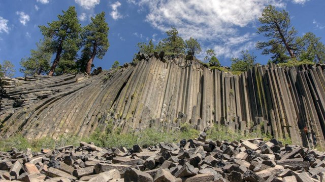
Glacier-carved canyons, granite domes, spectacular waterfalls, rivers, and lakes. Landscapes ranging from low-elevation oak woodlands, to conifer forests to rocky alpine terrain. The Sierra-Nevada Network parks offer stunning scenery, essential habitats for plants and animals, and critical water resources for California.
Managers of these parks need to know which key resources are found in their parks, and whether those resources are stable or changing.to help them make sound, science-based decisions about the future.
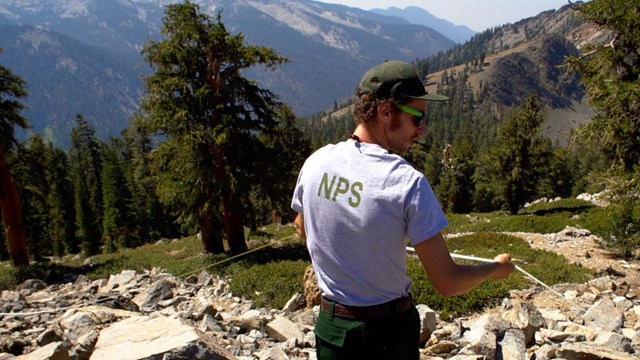
The Sierra Nevada Network is one of 32 Inventory & Monitoring Networks across the country helping to provide that knowledge. Our scientists and partners collect long-term data on key park resources—like birds, high-elevation forests, wetlands, and lakes. We analyze the results and report them to park managers, who can use what we've learned to make informed decisions.