NPS Photo
Background
Salt marshes host a wide diversity of aquatic life. They are important to many aquatic species, but are threatened by sea-level rise. Rising sea levels will cause the tide to wash more salt water into the wetlands, and for longer periods of time, which throws off the balance of salt and freshwater. Marsh plants are used to a specific level of water, and if they cannot adapt to these changes, many marsh plants and aquatic species may be at risk. Vegetated salt marshes may convert to mud flats.
Sea levels can be monitored in order to predict future damage to salt marshes. The marshes must grow at a rate equal to or greater than the rate of sea level rise, or they will eventually disappear. The rate of growth is monitored to predict the life span of these marshes. Monitoring these areas is important because these marshes are home to many aquatic species and ecological processes, and they need to be preserved.
Monitoring Objectives
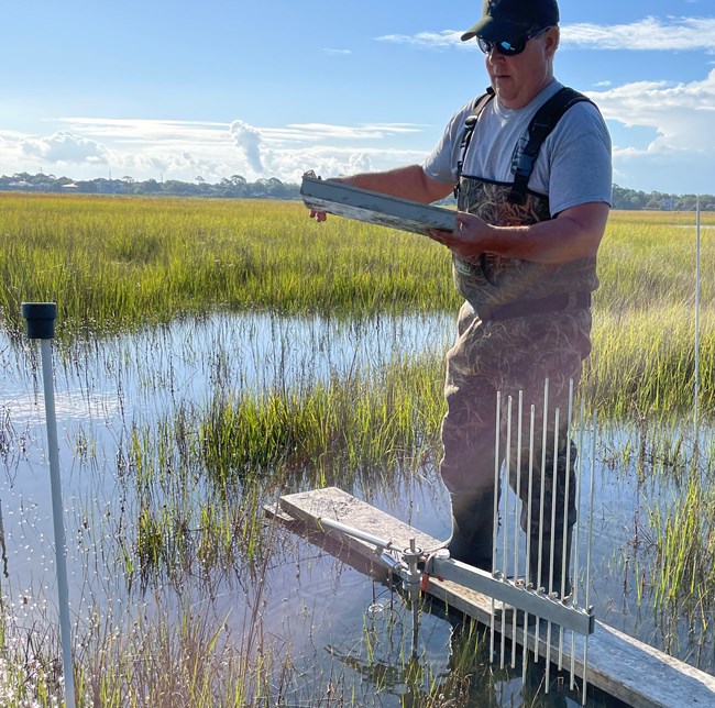
The Southeast Coast Network will measure salt marsh elevation, and investigate the rate of accretion or subsidence (growth or reduction) in salt marsh areas.
For more information on the scientific methods used in salt marsh monitoring, please see Monitoring Coastal Wetland Elevation in Southeast Coast Network Parks: Protocol Implementation Plan (Baron et al. 2023).
For more information on salt marsh monitoring, contact William "Ches" Vervaeke.
Source: NPS DataStore Collection 4216. To search for additional information, visit the NPS DataStore.
Last updated: April 1, 2024
