
Bridget Ye / NPS Photo
Coastal salt marshes are tidal wetland habitats that survive by maintaining their elevation relative to local tides. As sea levels rise, and at a quicker rate due to global climate change, salt marshes need to keep up by trapping sediments in the water and growing vertically. If they can’t increase their elevation similar to the pace of rising seas, salt marshes will be submerged more frequently. When this happens, vegetated wetlands can degrade, erode and even change into unvegetated mudflats.
The Northeast Coastal Barrier Network monitors tidal wetland elevation change as a vital sign of salt marsh health, in addition to vegetation and nekton. Our data on marsh deposition and elevation change contributes to global efforts in monitoring sea level rise impacts on these important habitats.
Pinning down where change is happening.
Scientists all over the world use Surface Elevation Tables, or SETs, to measure the movement of wetland surfaces over time. NCBN uses the SET to monitor the very small changes in marsh elevation for our region multiple times a year. The SET is a mechanical device that attaches to a permanent benchmark secured deep in the marsh sediment.
-
In a marsh, the SET instrument is attached to the deep benchmark.
-
The horizontal bar on the SET is levelled in one of four directions and 9 pins are lowered from this bar until they touch the marsh surface.
-
The height of pins above the bar is measured during each visit. Because the SET is attached to a stable benchmark, changes in pin heights reflect up and down movements of the marsh surface.
-
Repeat measurements in remaining three directions.
We recently began testing two other surveying methods: digital level and total station. While SETs give us small-scale, localized elevation measurements, the digital level and total station cover larger areas, are automated and increasingly common, and could complement SETs in giving us a clearer overview of marsh elevation change.

Bridget Ye / NPS Photo
Where We Monitor
- Assateague Island National Seashore
- Cape Cod National Seashore
- Colonial National Historical Park
- Fire Island National Seashore
- Gateway National Recreation Area
Publications
-
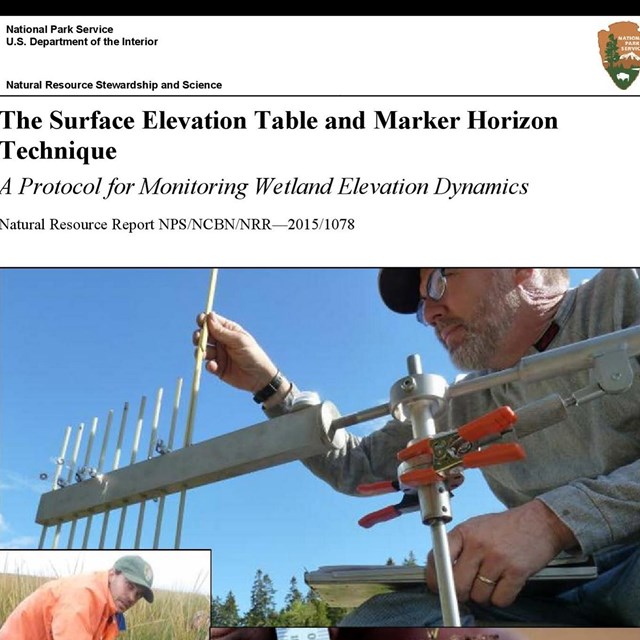 ProtocolTidal Wetland Elevation
NCBN Surface Elevation Table and Marker Horizon Technique: A Protocol for Monitoring Wetland Elevation Dynamics
-
 ReportsSalt Marsh
NCBN Salt Marsh Monitoring Reports List
Last updated: July 1, 2024