
Bridget Ye / NPS Photo
In addition to monitoring tidal wetland elevation and nekton in salt marshes, we also study vegetation. Salt marshes are sensitive to natural mechanisms, such as storms and geomorphic processes, as well as human-induced impacts. Some of these human impacts include urbanization and increase in nutrient-laden runoff, restrictive infrastructure, and ditching.
At the Northeast Coastal and Barrier Network, we monitor changes to species composition and the presence of invasive species. These changes could relate to water pollution and salinity levels, tidal flow, groundwater levels, and the effects of climate change and sea level rise. In monitoring salt marsh vegetation, we provide early warnings of change and other information that helps park managers make conservation decisions.
How We Monitor
- Set up square plots (1m by 1m) throughout a salt marsh at spaced-out intervals
- In each plot, record the number and height of plants and what species are present
-
Analyze collected observations for any patterns in the variety and abundance of species
-
Repeat steps one to three for each salt marsh and every two years

Bridget Ye / NPS Photo
Where We Monitor
- Assateague Island National Seashore
- Cape Cod National Seashore
- Fire Island National Seashore
- Sagamore Hill National Historic Site
Publications
-
 ProtocolImplementation Plan
NCBN Salt Marsh Vegetation Monitoring Protocol Implementation Plan, Version 1.0
-
 ProtocolStandard Procedures
NCBN Salt Marsh Vegetation Monitoring Protocol Implementation Plan, Standard Operating Procedures
-
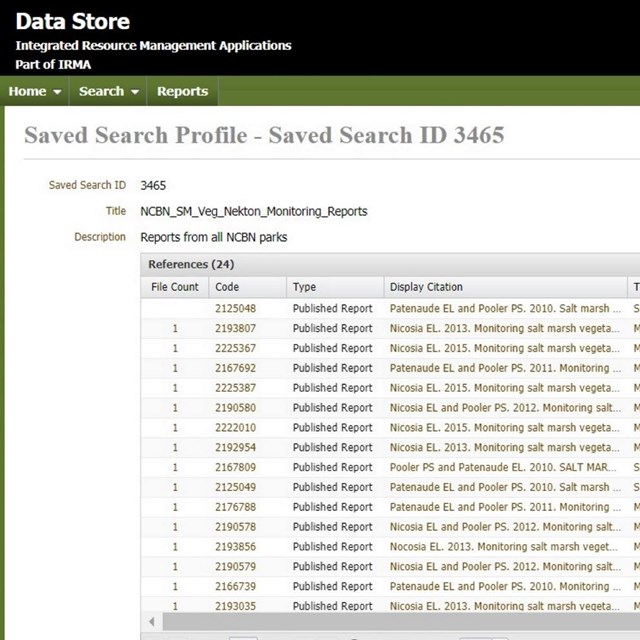 ReportsMarsh Vegetation
NCBN Salt Marsh Vegetation Reports List
Last updated: June 25, 2024