NPS Photo
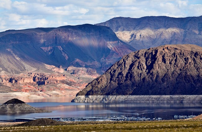
Lake Mead National Recreation Area was established in 1936, and it offers a range of natural, cultural, and recreational resources on both land and water. The park encompasses nearly 1.3 million acres and includes more than 140 miles of the Colorado River.
The park's land is centered on two man-made lakes, Lake Mead and Lake Mohave. These are the premiere inland water recreation areas in the West and a primary source of drinking water for southern Nevada. The park lies along the northeast boundary of the Mojave Desert, and is home to species representing to the Mojave, Sonoran, and Great Basin desert ecosystems.
The Mojave Desert Network provides natural resource inventory and monitoring information to help parks make effective, science-based management decisions. Inventories have been completed for mammals, fish, birds, vascular plants, and reptiles & amphibians (see species lists further down the page). Maps and Reports detailing Lake Mead's vegetation, soils, and geology resources are also complete.
Monitoring at Lake Mead National Recreation Area
Ongoing Monitoring Efforts
Bats monitoring bat populations using acoustic and capture surveys
Desert Springs monitoring water quality and availability at 44 smaller seeps and springs
Integrated Uplands vegetation and soils monitoring of the Creosote - White Bursage community
Invasive & Exotic Plants monitoring plan for detecting invasive plants throughout the Park
Selected Large Springs monitoring water quality and availability at Blue Point Spring
Spring Vegetation monitoring desert spring plant communities at select springs
Reports & Publications
Inventories & Assessments present baseline data collected during the first phase of the development of the Mojave Desert Inventory & Monitoring Network in order to have comparison with the long-term monitoring data currently being collected. Monitoring protocols describe why and how we collect, manage, analyze, and report monitoring data about the network's Vital Signs. The protocols consist of a narrative and associated set of standard operating procedures (SOPs). Monitoring Reports summarize data and findings from our Vital Signs monitoring activities.
Source: NPS DataStore Collection 4376 (results presented are a subset). To search for additional information, visit the NPS DataStore.
Source: NPS DataStore Collection 4378 (results presented are a subset). To search for additional information, visit the NPS DataStore.
Source: NPS DataStore Collection 4380 (results presented are a subset). To search for additional information, visit the NPS DataStore.
Source: NPS DataStore Collection 4379 (results presented are a subset). To search for additional information, visit the NPS DataStore.
Select a Park:
Select a Species Category (optional):
Visit NPSpecies for more comprehensive information and advanced search capability. Have a suggestion or comment on this list? Let us know.
Last updated: May 31, 2023
