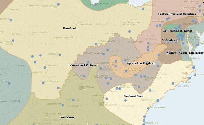
Geographic data and GIS technologies are essential tools for natural resource management in the National Park Service. GIS provides the framework for the acquisition, analysis, synthesis, and application of the inventory and monitoring data we collect.
About Inventory & Monitoring GIS
The I&M GIS group helps manage the collection, analysis, and distribution of network, NPS, and geospatial data. We also develop GIS tools, extensions, and applications. All this information is made available to I&M networks, other NPS programs, and the public.
Helpful Spatial Data Resources
- Find out more about what the NPS is doing with geospatial data, spatial data applications, and more, at the NPS GIS Page.
- Find geospatial data and more in the IRMA Data Store
- IMD Map/Feature Services are available for use in ArcGIS, web maps, and other software programs.
- USGS National Geospatial Program provides access the National Map, an interactive web map application for national geospatial and topographic data sets and tools.
- USDA NRCS Geospatial Data Gateway allows you to search and access environmental and natural resources data.
- A variety of U.S. government data is available at Data.gov
Tools and Applications
- Explore data used in Landscape Dynamics with the Landscape Dynamics Map Viewer
- See what others in the NPS are doing with spatial data at NPS ArcGIS Online
- NPS Theme Manager for ArcGIS NPS Theme Manager is a desktop tool for delivering spatial data to GIS users. This product allows data managers to present data in an organized and intuitive structure without exposing the underlying complexities of physical data storage.
- The Database Metadata Extractor is an MS-Access add-in for extracting FGDC Section 5 metadata as XML. Note: this tool is being updated and improved.
Frequently Requested Spatial Data
- For all NPS units, download the official NPS Boundaries (see also Land Resources Division)
- For all 32 I&M Networks, download NPS I&M Network Boundaries (see also Inventory and Monitoring Networks and Parks)
More Resources
-
 Looking for Information and Data?Go See IRMA
The IRMA Data Store is your source for NPS data
-
 Explore NPS Story MapsNPS ArcGIS Online
Story Maps tell stories visually
-
 What's New with GIS in the NPS?NPS GIS
What's available related to spatial data and services in NPS
-
 Looking for map services?I&M Services
Access Map and Feature Services.
Last updated: September 26, 2018
