Remotely sensed data from satillites or aircraft can be an efficient way to monitor change across the landscape. Remote sensing can be used to map vegetation and surface geology, monitor coastal change, measure change in glaciers, detect landform changes in permafrost, monitor land use change around parks, and more.
-
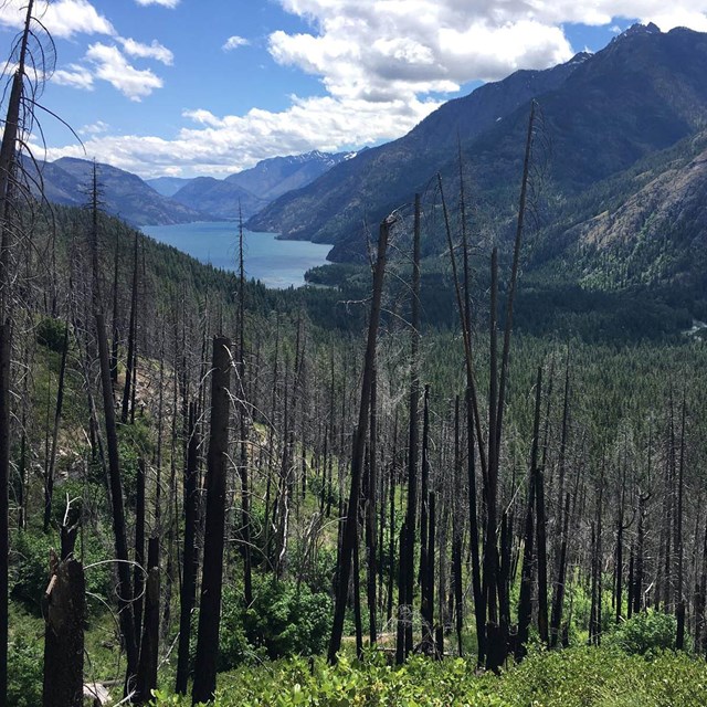 Landscape Disturbance in PNW Parks
Parks are shaped by constant change and disturbance. Remote sensing helps us study patterns of landscape change.
-
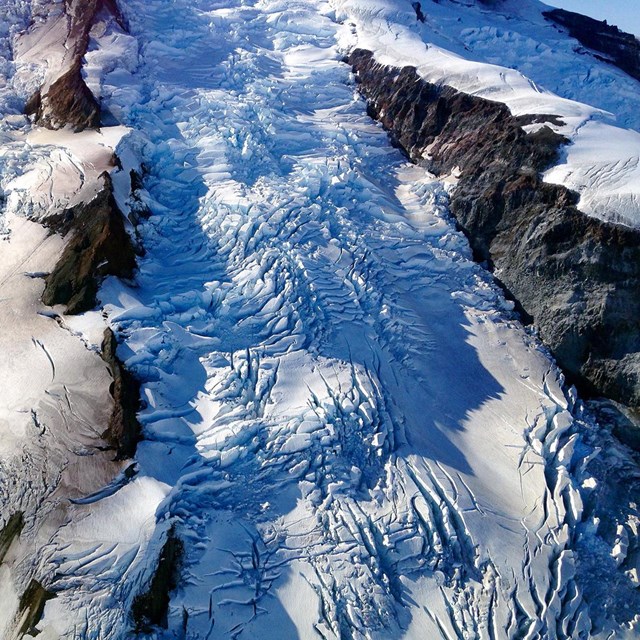 Alaska's Shrinking Glaciers
Alaska's glaciers are shrinking. Remote sensing techniques allow us to measure the change over time.
-
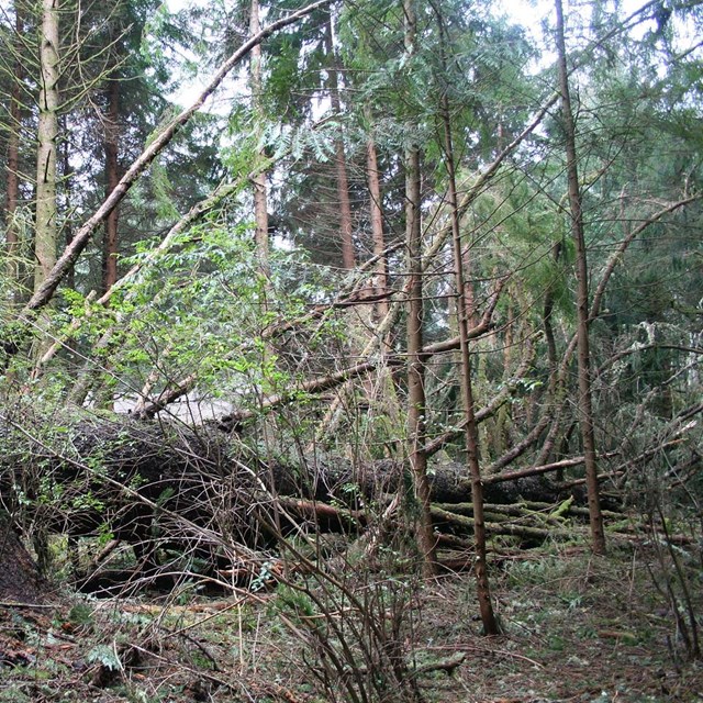 The Great Coastal Gale of 2007
Remote sensing was used to explore the impacts of wind storms in Lewis and Clark National Historical Park.
Videos
Check out these videos/animations of how remote sensing information was used to monitor climate-change-related landscape features.-

Arctic Lake Drainage
As permafrost thaws, lakes fill with water. If the water levels get too high, erosion channels can form and drain the lakes. In recent years, large lakes in Bering Land Bridge National Preserve have drained. This is of particular concern because these large lakes are important habitat for Yellow-billed Loons.
- Duration:
- 1 minute, 21 seconds
-
Wet Snow in Alaska
Wet snow and the icing events that frequently follow wintertime rain-on-snow (ROS) affect high-latitude ecosystems at multiple spatial and temporal scales, including hydrology, carbon cycle, wildlife, and human development. This video shows the extent and timing of ROS across Alaska.
- Duration:
- 3 minutes, 43 seconds
-
Seasonal Changes in Alaska's National Parks
National Park Service ecologist David Swanson explains the Arctic Network Inventory & Monitoring team's use of remote cameras to study seasonal changes across Alaska's northernmost national parks. Each camera is part of climate monitoring station that records weather conditions at locations across Bering Land Bridge National Preserve, Cape Krusenstern National Monument, Gates of the Arctic National Park and Preserve, Kobuk Valley National Park, and Noatak National Preserve. In doing so, we can identify long and short-term trends, provide reliable climate data to other researchers, and participate in larger scale climate monitoring and modeling efforts beyond park boundaries.
- Duration:
- 4 minutes, 17 seconds
Last updated: April 23, 2024