
Eruption Viewing
Plan ahead for the best eruption viewing locations. 
Safety
Many hazards exist in this dynamic landscape. Be prepared and informed so your visit is safe and enjoyable. 
Air Quality
Hazardous volcanic gasses can present a danger to sensitive groups of people. Frequently check the air quality during your visit. 
Webcams
Get a live look inside the park, courtesy of USGS Hawaiian Volcano Observatory. 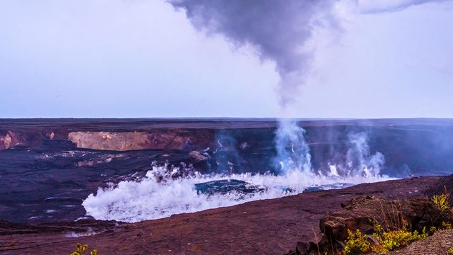
Kīlauea Volcano Update
Read the activity summary of Kīlauea, courtesy of USGS. 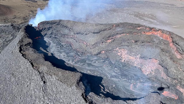
Mauna Loa Volcano Update
Read the activity summary of Mauna Loa, courtesy of USGS. |
Last updated: April 8, 2026