Explore Outdoors

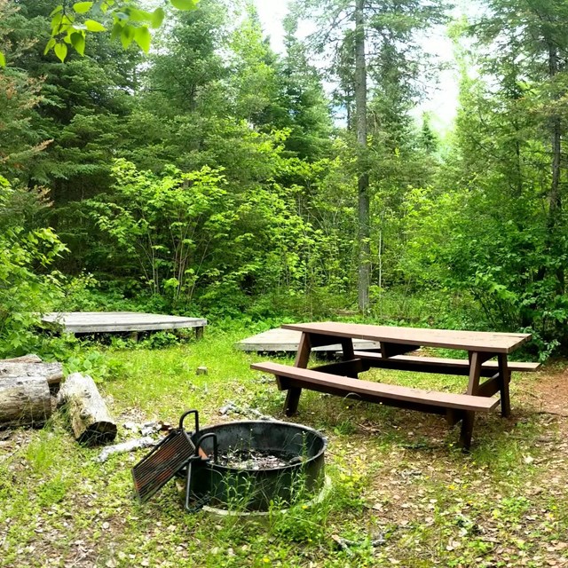
NPS graphic Canoe Loading across from the Historic SiteFrom Thursday August 7 to Sunday August 10, please load/unload canoes off road near the Grand Portage trailhead sign at the corner of Store and Mile Creek Roads. Please do not cross the intersection with packs or canoes during this time. CampfiresMap of a section of Grand Portage National Monument adjacent to Lake Superior, depicting facilities and trailheads. No scale provided. An arrow pointing toward the top of the map indicates north. Grand Portage Bay of Lake Superior is on the right: a gray shape bordered by a wavy diagonal line near the middle of the map. The following descriptions begin in the lower left corner and move clockwise around the map.

NPS photo / G.M. Spoto Pets and Wildlife
|

Last updated: August 6, 2025