We've got you coveredDownload a digital copy of our mapSelect a Hike by LocationFind a hike in the park based on where you plan on visiting. Important to note that only trails on the Wheeler Peak Scenic Drive are accessible via a paved road. All others are gravel or require four wheel drive. 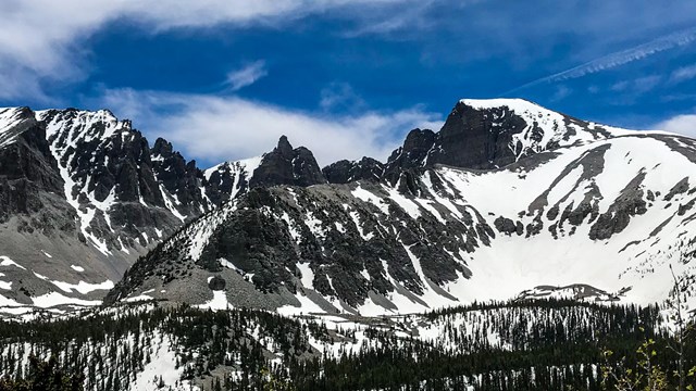
Wheeler Peak Scenic Drive Hiking Trails
Most visits primarily stay on the paved Scenic Drive. Many trails leave along the road and even short treks enhance the casual visit. 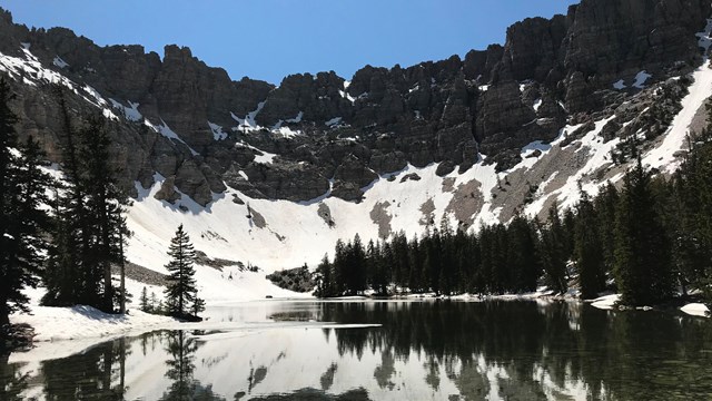
Baker Creek Hiking Trails
Trails off the gravel baker creek road are excellent any time of year, and offers fantastic backpacking opportunities. 
Snake Creek Hiking Trails
Snake Creek offers a variety of trails and sights. Find the best trail for you! 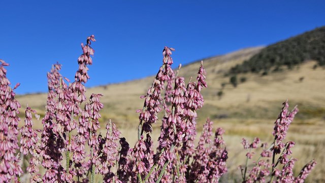
Strawberry Creek Trails
Find excellent opportunities for spotting wildlife or spectacular displays of wildflowers in this lesser-travelled area. 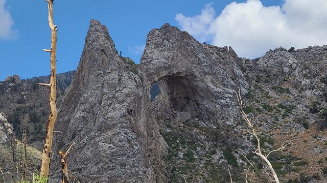
Lexington Creek Hiking Trails
Lexington Creek offers unique vistas and opportunities for exploration not found everywhere Select a Hike by DifficultyFind hikes sorted by difficulty. Easy hikes include those that are ADA accessible. 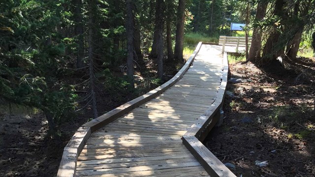
Easy Hikes
Hikes within the park considered easy. These tend to have little elevation gain and short distance travelling. 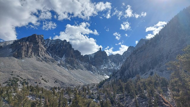
Moderate Trails
Moderate trails abound for the hiker who wants to get out of the car and experience more of the park. 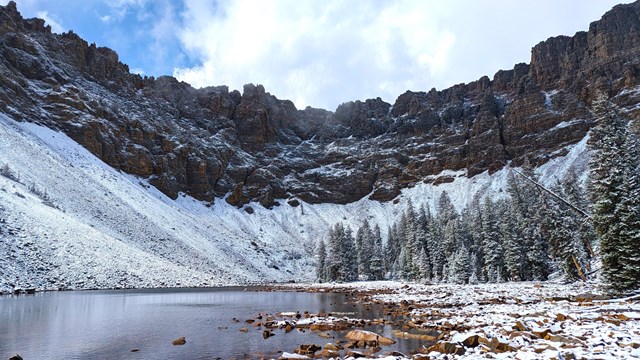
Strenuous and Overnight Hikes
Carrying your life on your back? Click here for overnight hikes, or the strenuous ones to test your abilities. How to pick a trail:
Coming in Winter? Check out the Visiting in Winter page.
All Great Basin Hiking Trails |
Last updated: October 13, 2024