NPS 
Geocorps: Emily Thorpe; GIP: Mariah Slovacek A: Debris FlowDebris flows periodically swept into the valley and lake forming coarse-grained conglomerates. 
Left: Karen Carr; Right: NPS B: Lake with AshAsh from a volcano coated the lake and sank with diatoms, plants, and insects forming paper shales filled with fossils. 
Left: Karen Carr; Right: NPS C: LaharA lahar flowed into the valley and buried the bases of huge redwood trees, which became the petrified stumps of today. 
Left: Karen Carr; Right: NPS 
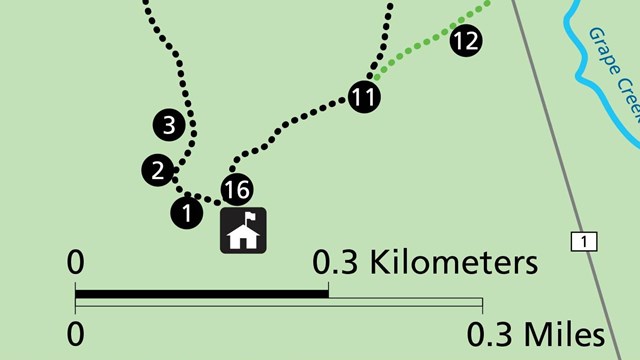
Stop 10: What If?
Click here to go to Stop 10. 
Virtual Tour Homepage
Explanation of the virtual tour and links to all stops. 
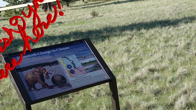
Stop 12: Mammoth Change
Click here to go to Stop 12. |
Last updated: December 31, 2021
