Wildrose Peak

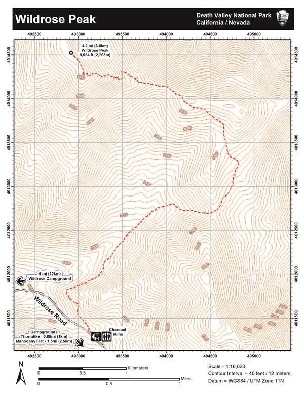
Image of topographic map of Wildrose Peak
Topograhic map of Wildrose Peak

NPS - Dan Kish

Length: 8.4 miles (13.5km) out and back, round trip.
Time: 6 hours round trip.
Difficulty: Difficult
Elevation Gain: 2,200 ft (671m)
Location: From CA-190 follow Emigrant Canyon Road past the Wildrose Campground to the parking area at the Charcoal Kilns. The final 2 miles is a maintained gravel surface typically passable in a sedan. 25 ft vehicle limit.
Parking: 25 ft vehicle limit. Open gravel area.
Closest Restroom: Vault toilet in parking area. No restroom along the trail, follow principle 3 of Leave No Trace (LNT).

GPS Data: GPS data for the marked route is for supplemental purposes only. Take a map and compass when exploring the trail-less wilderness.
  • GPX file: (universal format for use in most mobile applications and GPS units)
  • KML file: (used with some mobile applications and Google Earth & Maps)
 
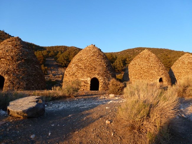
Beehive shaped charcoal kilns made of rock line a forested mountain road.
The Wildrose Charcoal Kilns

NPS - Dan Kish

Route Description

Wildrose Peak Trailhead is located at the historic Wildrose Charcoal Kilns. These ten beehive shaped structures were completed in 1877 by the Modock Consolidated Mining Company to provide a source of fuel suitable for use in two smelters adjacent to their group of lead-silver mines in the Argus Range west of Panamint Valley, about 25 miles distant from the kilns. Find the trailhead just north (left) of the kilns.
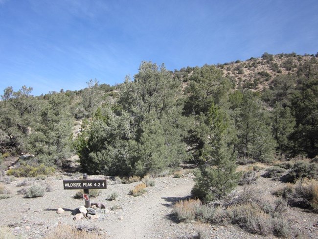
 
A sign at a trailhead points the way through the trees to Wildrose Peak located 4.2 miles away.
Wildrose Peak Trailhead

NPS - Dan Kish

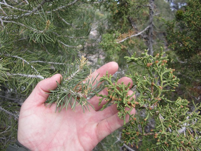
The signed trailhead is located just to the north (left) of the kilns where the well-defined path leads you deeper into the pinyon pine (Pinus monophylla) and juniper (Juniperus californicus) woodlands of the Panamint Mountains
 
A hand palm side up holds a branch of the needle ridden pinyon pine tree and the juniper branch for comparison.
Pinyon pine vs Juniper

NPS - Dan kish

Left = Pinyon Pine(Pinus monophylla)
Right = Juniper (Juniperus californicus)
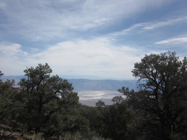
 
A view of a valley with salt flats is slightly obstructed at the forested viewpoint.
Death Valley comes into view at last.

NPS - Dan Kish

After 1.7 miles (2.7km), you reach the divide at a saddle where you’re greeted by the first of several well deserved views into Death Valley.
 
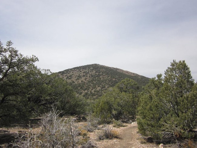
A trail between pine trees is overshadowed by a broad mountain peak in the distance.
Wildrose Peak comes into view.

NPS - Dan Kish

The following 2.5 miles (4 km) roll up and down the saddle before switchbacking steeply up the spine to above tree line where the peak finally comes into view.

 
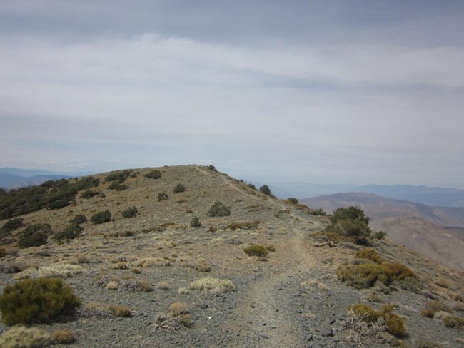
A trail meanders through sparse shrubs and across a rocky ridgeline.
Wildrose Ridge

NPS - Dan Kish

The final 0.25 mile stretch (0.4km) to the top yields breathtaking 360 ° views of the Mojave Desert and Basin-Range topography.
 
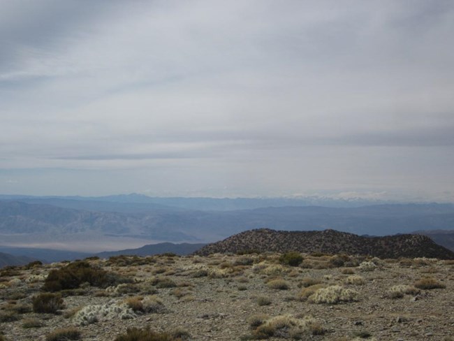
The view from Wildrose Peak looking down into a dry desert valley with large snow capped mountains on the far horizon.
Panamint Valley with the Sierra Nevadas on the far horizon.

NPS - Dan Kish

To the west is Panamint Valley where on a clear day, look to the horizon for the Sierra Nevada Mountains, home to the highest point in the lower 48 states, 14,505 ft (4421m) Mount Whitney.
 
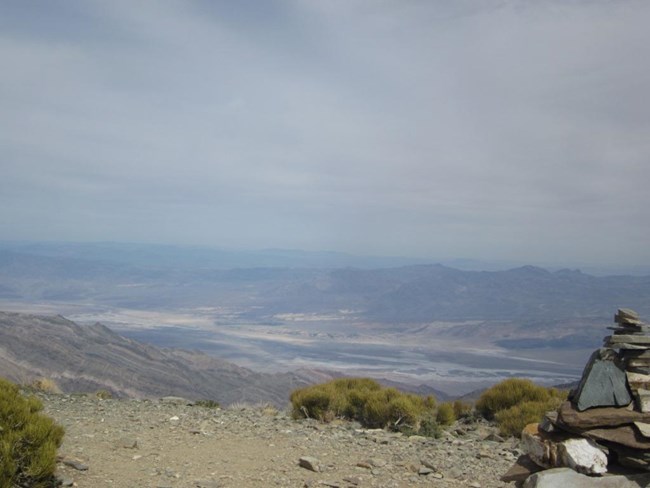
A rock pile marks the summit of Wildrose Peak where the view of the Black Mountains in the distance and Death Valley salt flats lay beneath a cloudy sky.
Death Valley from Wildrose Peak.

NPS - Dan Kish

To the east is Death Valley siting over 9,000 feet (2,743m) below and home to the lowest point in North America, Badwater Basin -282 ft (-86m).

Last updated: February 6, 2020

Park footer

Contact Info

Mailing Address:

P.O. Box 579
Death Valley, CA 92328

Phone:

760 786-3200

Contact Us