|
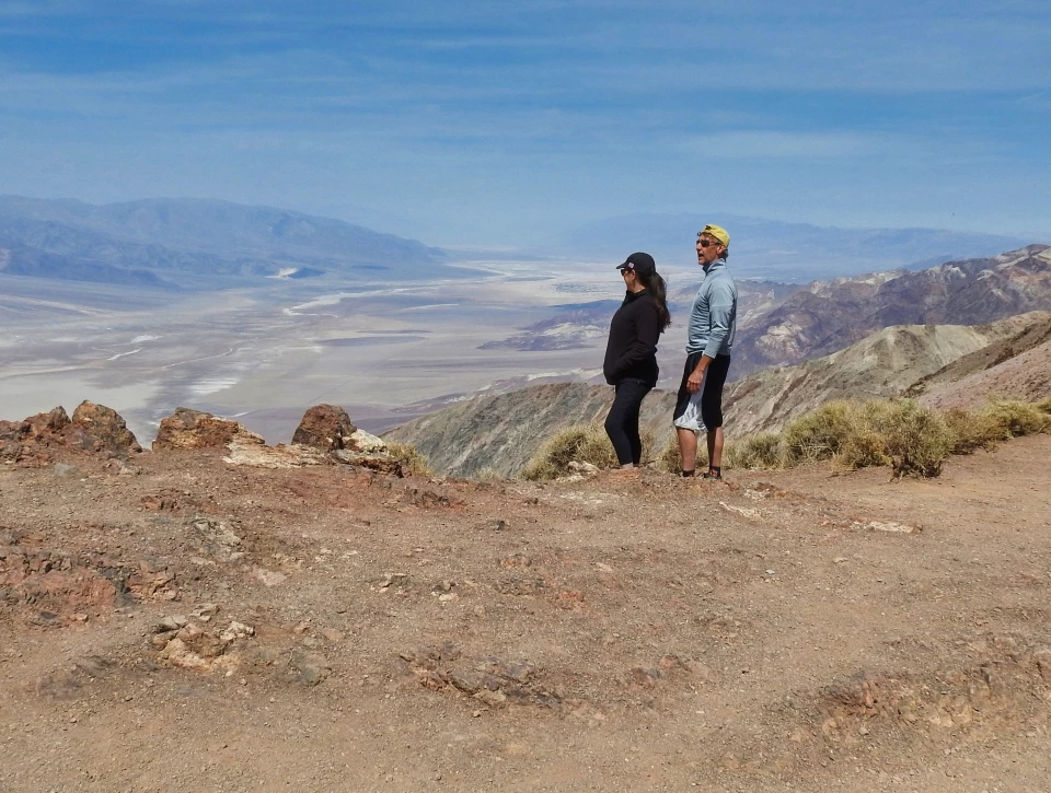
Death Valley National Monument was created in 1933 after years of effort to protect it from mining and other interests. However, it wasn’t until 1994 that Congress designated Death Valley a national park. One of the reasons for the long wait was that the desert had negative connotations for many Americans and was often seen an inhospitable and threatening wilderness wasteland, not a national treasure. Frasher Family at Dantes View - 1928Commercial photographer Burton Frasher, Sr. was one of the Southwest’s most prolific commercial photographers. Born in 1888, he married Josephine in 1912 and started a commercial photography business in Lordsburg (now LaVerne), California in 1914. Early in their marriage, the Frashers rode around the American West on an Indian motorcycle with Josephine riding in the sidecar and Burton's large format camera riding between them. 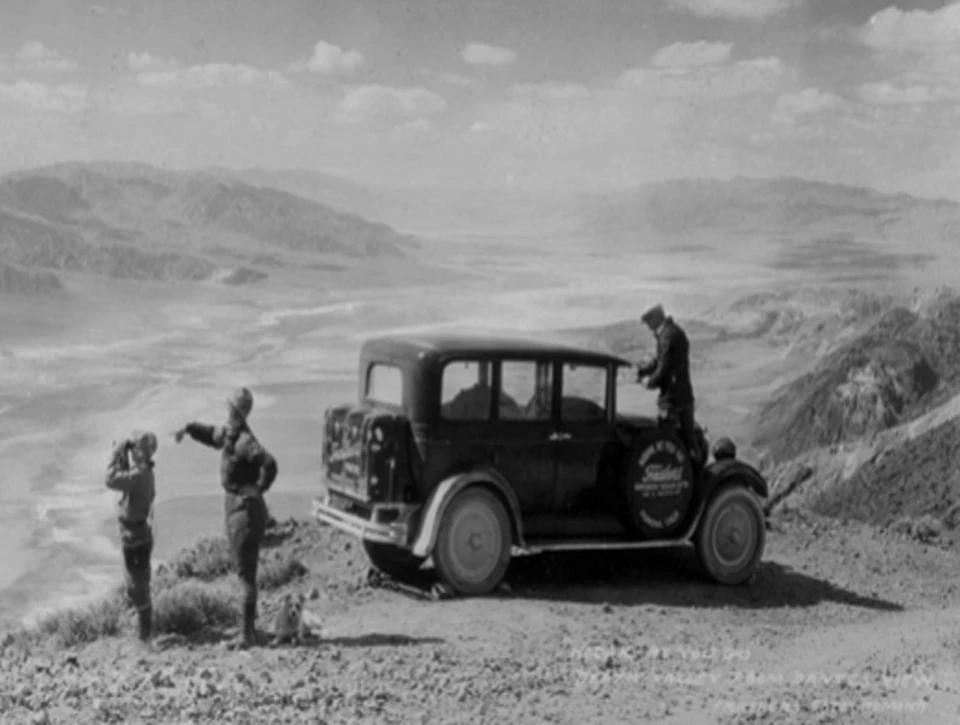
Left image
Right image
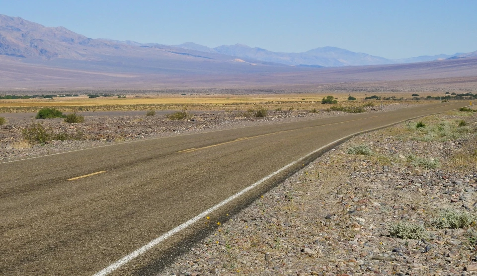
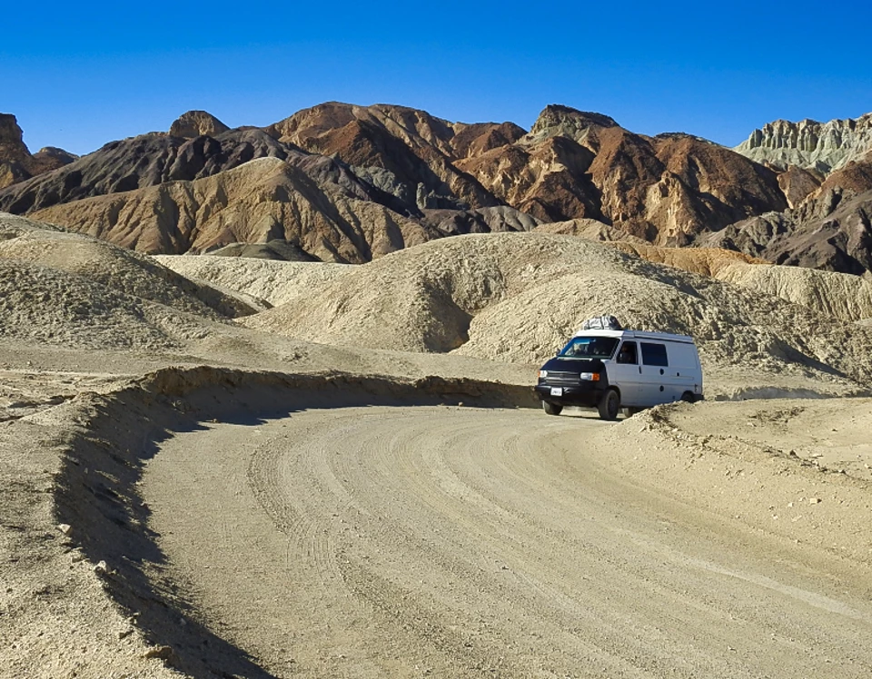
Desert Road Between Scotty's Castle and Stovepipe Wells - 1930Death Valley National Park has 300 miles of paved roads, 300 miles of improved dirt roads, and several hundred miles of unmaintained 4x4 roads. Crews from the Civilian Conservation Corps graded 500 miles of those roads in the nine years (1933 – 1942) they were present in the then national monument. Grading rocky and sandy soils in very hot temperatures made for extreme working conditions but their work was essential for making the park accessible. 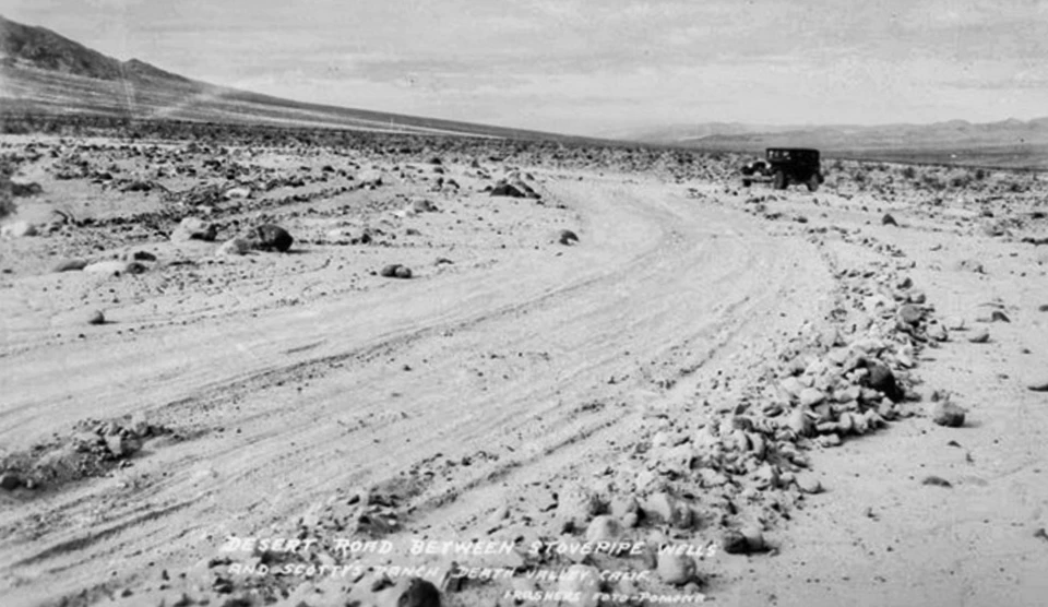
Left image
Right image
20-Mule Team Canyon and Car - ca. 1930sTwenty Mule Team Canyon is situated in an ancient lakebed, part of the Furnace Creek Formation. The borax located in the lakebed deposits was more profitable to mine than those on the floor of Death Valley at Harmony. Mining claims were established as early as 1882. 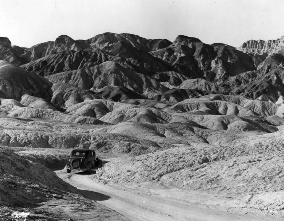
Right image
Car in Golden Canyon - ca. 1930Golden Canyon is part of the badlands topography west of Zabriskie Point. The yellow earth in the foreground is formed of fine-grained rocks that settled in the ancient lakebed, and the eroded cliffs of Red Cathedral in the background are a conglomerate rock that accumulated in alluvial fans of the Furnace Creek Formation. 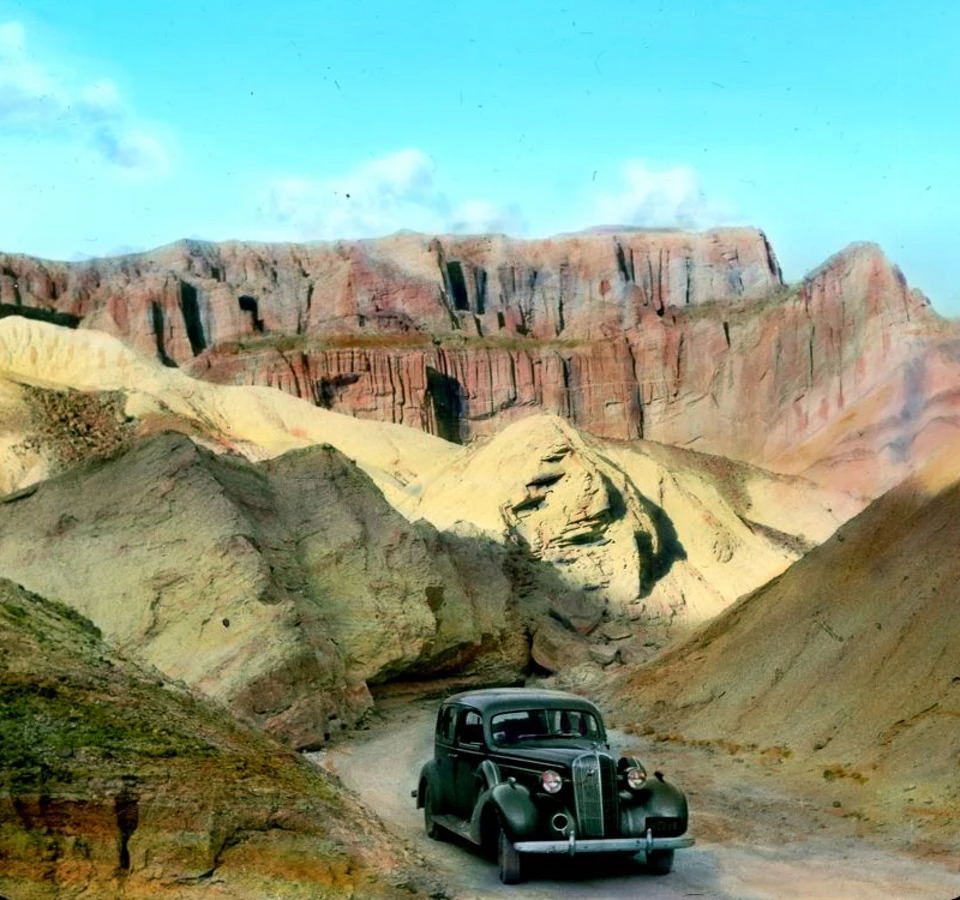
Left image
Right image
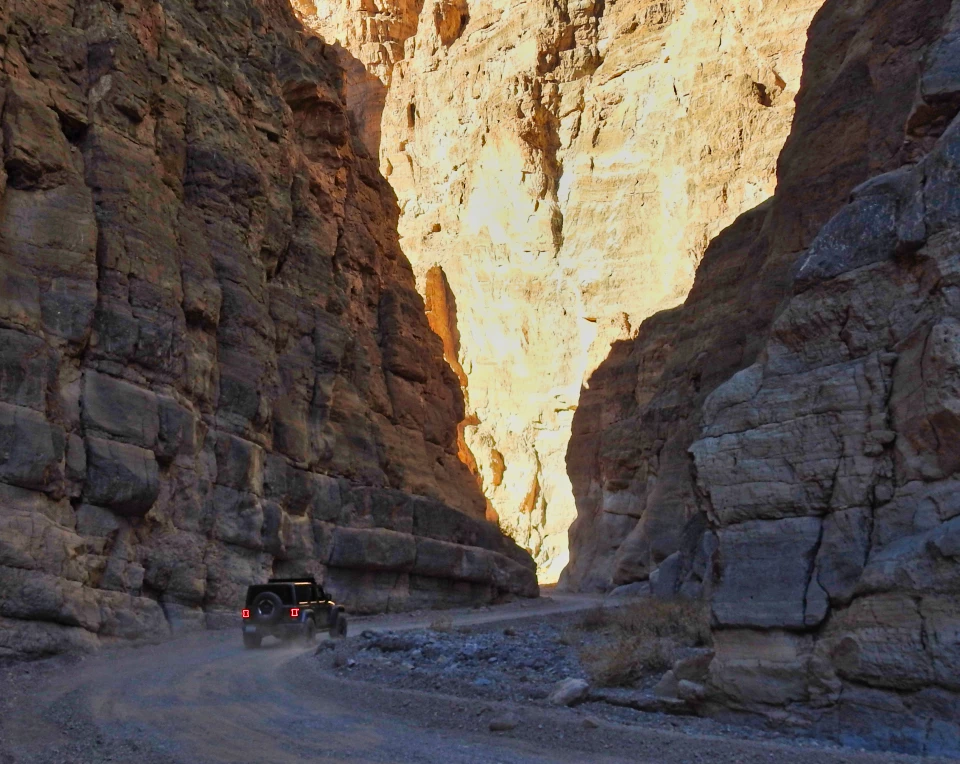
Automobile in Titus Canyon - ca. 1930s27-mile one-way Titus Canyon Road was built by C.C. Julian in 1925 to provide access to the mines at Leadville. It came with a price tag of around $60,000, but helped him promote the mining of lead ore among the dramatic paleozoic era formations of the canyon. 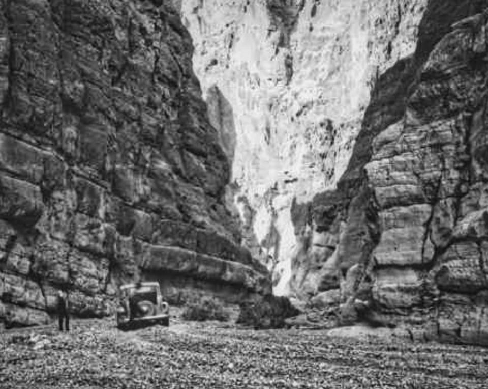
Left image
Right image
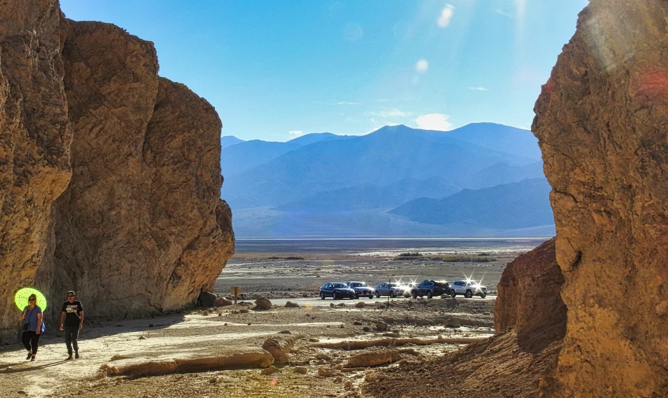
Entrance to Golden Canyon - 1934Early in the twentieth century, automobiles made Death Valley and the Mojave Desert region much more accessible to tourists. With the establishment of Death Valley National Monument in 1933, roads were graded into some unlikely places, including Golden Canyon. Today, many of these canyon routes are closed to vehicles and hikers can more easily enjoy the peace and solitude. 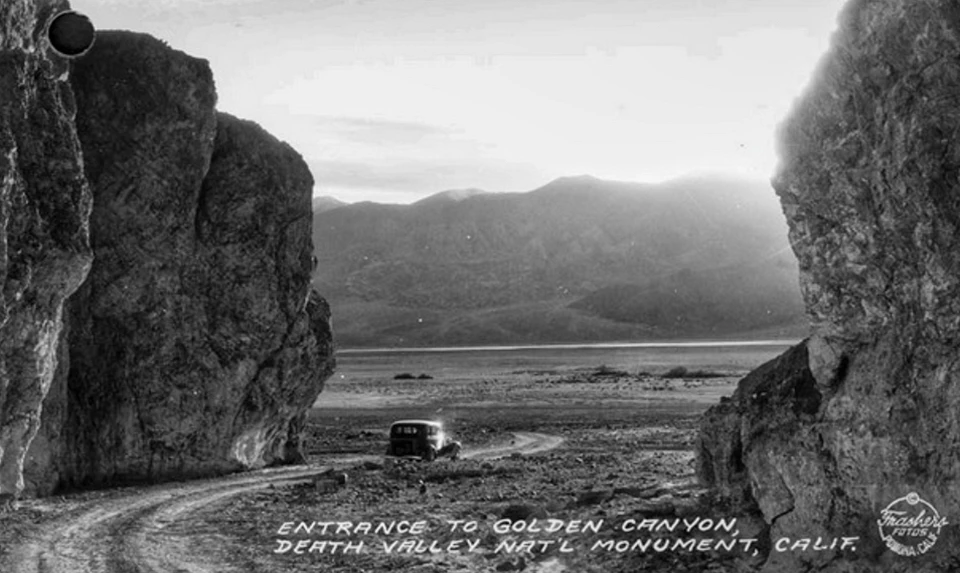
Left image
Right image
Hanaupah Canyon Entrance and Telescope Peak - 1934The rugged Hanaupah Canyon Road rises 3,500’ from West Side Road, with great views of the valley, Telescope Peak (11,049’), and the Panamint Range. A miner by the name of Shorty Borden (Alexander Zachariah Borden), wandered into the canyon in the late 1880’s and found a few minor strikes of gold. 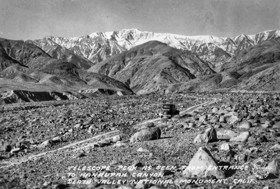
Left image
Right image
Car Parked at Zabriskie Point - ca. 1935Just before the Furnace Creek Inn was to open in 1927, Pacific Borax Company executives had a number of scenic points and roads built to entice visitors to experience the desert scenery. Zabriskie Point, built atop a small hill overlooking the badlands and the Panamint Range to the west, was named in honor of the president of the company at that time, Christian Zabriskie, a protégé of Stephen Mather. 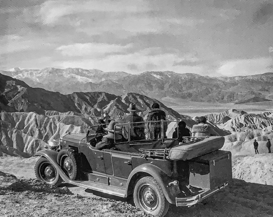
Left image
Right image
Tourists at Badwater - ca. 1939Badwater is the lowest point in North American at 282 feet below sea level. The pool is not poisonous, just salty, as is indicated by the presence of pickleweed, aquatic insects, and larvae. The pool at Badwater is home to the tiny Badwater Snail. 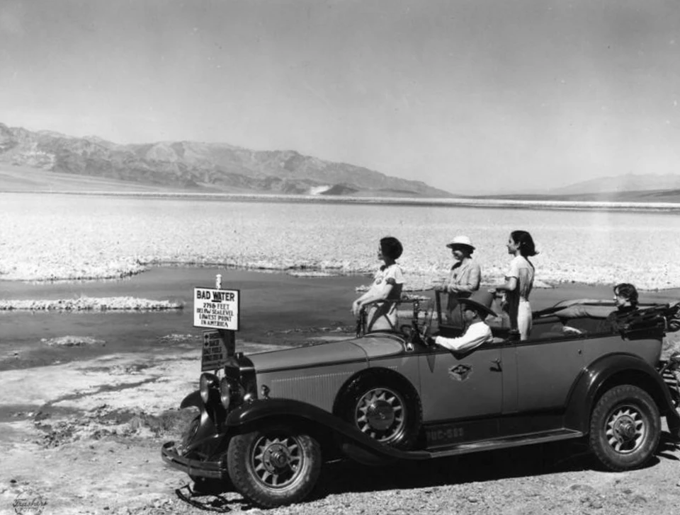
Left image
Right image
Artist and Car in Golden Canyon - ca. 1949Artist Edith Stellman sketches the badlands topography of Golden Canyon. The quiet heat and shade of the late afternoon evokes a peaceful calm, inspiring for artists and poets. 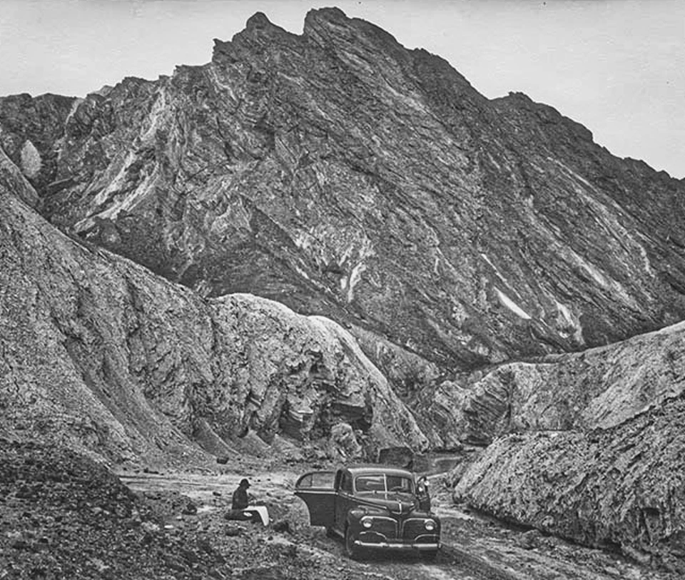
Left image
Right image
|
Last updated: July 31, 2022