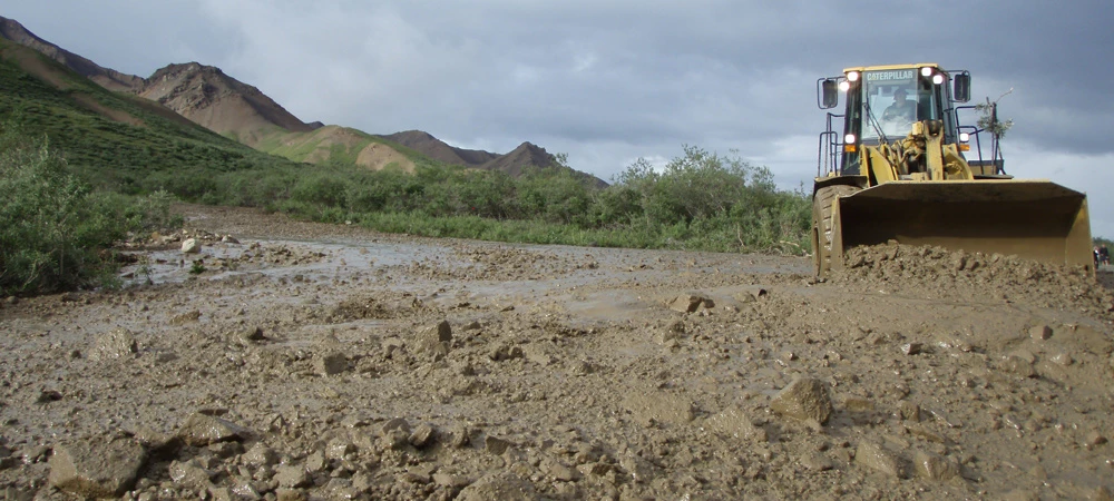
NPS Photo / Riley Tingue Pretty Rocks LandslideThe Pretty Rocks landslide intersects the Denali Park Road near its midpoint at Mile 45.4 and displaces 100 yards (90 m) of the full width of the road. In recent years this landslide has evolved from a minor maintenance concern to one that has caused substantial road restrictions. The Pretty Rocks landslide has been active since at least the 1960s, and probably since well before the Denali Park Road was built through this area in 1930. Before 2014, the landslide only caused small cracks in the road surface and required moderate maintenance every 2–3 years. However, in 2014, road maintenance crews began to notice a change. By 2016, the movement had increased further, a slump had developed in the road, and a monitoring program was begun. The rate of road movement within the landslide evolved from inches per year prior to 2014, to inches per month in 2017, inches per week in 2018, inches per day in 2019, and up to 0.65 inches per hour in 2021. By late August, 2021, maintaining a drivable surface was no longer possible, and the road was closed at Pretty Rocks. The Polychrome Area Plan was developed to restore reliable road access across the landslide, and bridge construction began in 2023. Pretty Rocks is just one of several known landslides in the Polychrome area and one of the more than 140 mapped unstable slopes along the entire Park Road. The National Park Service is working with the Federal Highway Administration to manage the park road proactively and holistically in order to restore and maintain access along the entire length of the road. Igloo Debris Slide2018On September 30th and October 18th 2018, the Igloo Debris Slide partially blocked the Denali Park Road. In each event, the Denali road crew cleared approximately 500 cubic yards (450 m3) from the roadway within a few hours. Like the 2013 event, 12’ (4 m) blocks of ice-rich, unconsolidated debris slid on the same or similar unfrozen clay layer. 2013 and 2018 both experienced unusually mild fall weather. Such weather further thaws permafrost, which decreases cohesion and increases pore water pressure. Therefore, this combination of processes can cause and trigger landslides. As more permafrost has thawed and the slide has continued to move, the area of the slide has increased. Several smaller events have filled the road ditch since September 30th. 2013In late October 2013, road maintenance staff discovered that a 600’ (180 m)-long, 110’ (35 m)-wide debris slide had blocked the park road near Mile 38. 2019 Geohazard AnalysisThe data below illustrates the most severe weather-related geohazards that developed on the Denali Park Road during August 2019.
The data is evaluated using a "SPE" model—Severity, Probability, Exposure. The model assigns a numeric value to each geohazard event based on its severity, its probability to recur, and its exposure. The values are multiplied, and an overall score from 1 to 100 is the result. A high score indicates a bigger risk or problem. A brief description of the event, the mitigation of it, and notes for the future are also available in the dataset.
|
Last updated: February 18, 2025