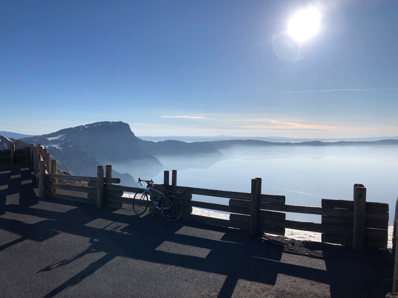
Rim OverlooksThe 33-mile historic Rim Drive circumnavigates the lake and is open during summer and early fall (depending on weather and road conditions). Along the drive are 30 overlooks that were designed between 1931 and 1938 to highlight a specific view of the lake, a significant geologic formation in the caldera, or an environmental feature such as a subalpine meadow. Some of these stops have exhibits with information about the view. Other viewpoints leave room for visitor curiosity and discovery.Where you choose to stop for a view of the lake or to capture the surrounding landscape of the park is a personal preference. Most of these pullouts do not have signs that offer a name or location. The park map indicates major stops that help with orientation. On average, visitors take two hours to complete the drive with eight or more stops. 
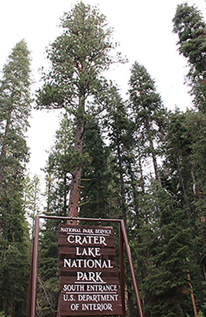
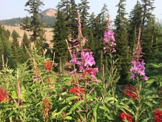
Pullouts along US Hwy 62OR Hwy 62 runs through the southern boundary of the park with entry into the park from the south and the west. From the south entrance, the park boundary protects a majestic stand of Ponderosa pine. The first stop is a picnic area by the same name. If you have never taken a whiff of the tree’s bark, this would be an opportunity to walk up to one and sniff.From the south, the highway parallels the west bank of Annie Creek, which flows in a deep canyon that was excavated by a glacier and later filled with ash and pumice. Look for glacial moraines and other geologic formations, layers of volcanic material from Mount Mazama eruptions, and the sound of water’s ongoing presence in the canyon at various pullouts along the highway. With a gradual yet significant rise in elevation other tree species such as lodgepole pine become more prevalent in two more picnic areas. Wildflowers and opportunities for bird watching may be abundant. From the west, (coming out of Medford) along OR Hwy 62 there are a few pullouts where the road meanders through an old growth forest. The first designated attraction is a stop at the crossing of the Pacific Crest National Scenic Trail. 
Pullouts along the North EntranceMountain hemlock and Shasta red fir trees line the north boundary of the park. Beyond the North Entrance Station are stands of lodgepole pines, and areas burned by wildland forest fires.The treed landscape is abruptly interrupted by 3055 acres of a fragile pumice meadow. Pumice Desert Research Natural Area stretches across both sides of the road. Within this basin, pumice is estimated to be 200 feet deep. A few plants continue adapting and surviving in this porous terrain. Uphill to the south, pullouts along this section offer views of Timber Crater, Grouse Hill, Red Cone and other volcanic formations (these features are named on the park map) associated with Mount Mazama. An easy access to a section of the 2,550-mile Pacific Crest Trail (PCT) connecting borders of Canada and Mexico is located 2.5 miles south of the pullout from Pumice Desert. Ample parking and an exhibit are located at this pullout. Arriving at North Junction and Rim Drive offers the first view of Crater Lake. Rim Village is six miles to the right on West Rim Drive. Turning left onto East Rim Drive leads to Cleetwood Cove, Cloudcap, many trailheads, viewpoints and several waterfalls. |
Last updated: May 17, 2021
