NPS Image ROCK THE RHYOLITE: Hiking is a great way to exercise while exploring the wonderland of rocks, and the history of the American West at Chiricahua National Monument. The I Hike for Health program is a hiking challenge you can attempt on your own or with your friends and family. Stop into the visitor center to learn about the challenge and to earn your award - a Chiricahua National Monument pin - while hiking some of the most beautiful trails in southeast Arizona. In order to qualify for the award, first pick up a hiking log from visitor center staff.
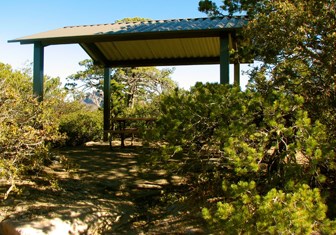
Bonita Canyon Scenic Drive Making a gradual climb through oak, cypress, and pine forests, this 8-mile paved drive winds to Massai Point, a perfect place for a picnic. The overlook has a 360-degree view of Rhyolite Canyon, adjacent valleys, and surrounding mountain peaks. Massai Nature Trail is a .5 mile loop trail which allows you to discover the geologic story of the park. A stop at the exhibit building along the nature trail provides additional park information. The drive provides access to Bonita Canyon Campground, multiple pullouts to enjoy the scenery, and trailheads to the 17 miles of day-use hiking trails. The vehicle length limit past the visitor center is 24 feet. 
Picnic Areas Wilderness and Hiking Trails Silver Spur Meadown trailhead: Hike from the visitor center to Faraway Ranch Historic District to discover the human activity in the Chiricahua Mountains. Natural Bridge Trailhead: Access the Natural Bridge Trail from Bonita Canyon Drive for the 2.4-mile, one-way hike. From the Echo Canyon Trailhead: Access trails to explore the rock formations in the park.
Sugarloaf Trailhead: This .9- mile, one-way trail climbs over 450 feet in elevation to the top of Sugarloaf Mountain. A historic fire lookout tower can be discovered at the end of the trail. Hiker Shuttle Hiking with Pets Faraway Ranch Historic District Camping |
Last updated: May 6, 2024
