Part of a series of articles titled Coastal Geomorphology—Storm Types.
Next: Extratropical Storms
Article

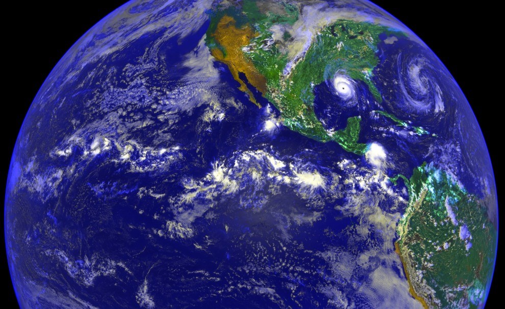
NASA image.
Tropical storms, of which hurricanes are the strongest type, are so-called because they form in the tropics between 23.4°N latitude and 23.4°S latitude. Tropical storms are warm-based systems that derive their energy from warm ocean water and warm, moist air. These storms are the primary drivers of coastal change along the Gulf of Mexico, for example affecting the barrier islands of Gulf Islands (Florida and Mississippi) and Padre Island (Texas) national seashores, and in the North Atlantic, for example affecting Cape Lookout and Cape Hatteras national seashores (North Carolina).

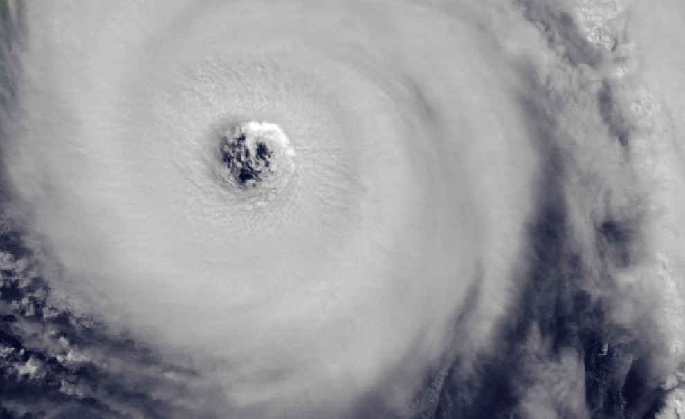
NASA image.
Tropical cyclones are among the largest and most powerful natural phenomena on Earth. However, the intensity of a hurricane, which is typically measured by the maximum sustained winds, is not directly related to its size, which is typically measured by the radius of the gale-force or hurricane-force winds. For example, Hurricane Andrew (1992) was a very intense tropical storm with sustained winds of 145 miles per hour (223 kph). This hurricane severely impacted Everglades National Park (Florida). Although Hurricane Andrew was very intense, it was relatively small; that is, its winds extended only about 90 miles (150 km) from the center of the storm.
Part of a series of articles titled Coastal Geomorphology—Storm Types.
Next: Extratropical Storms
Last updated: June 7, 2019