Last updated: October 24, 2024
Article
Climate and Water Monitoring at Tumacácori National Historical Park, Water Year 2018

Climate, groundwater, and surface water are closely related. At Tumacácori National Historical Park, the Sonoran Desert Network monitors all three to track broad-scale change and provide early warning of potential problems.
Background
Tumacácori National Historical Park preserves the first missions established in what is today Arizona, founded by Padre Eusebio Kino in 1691. The mission was situated near the banks of the Santa Cruz River, where water allowed the mission to grow grapes, grain, vegetables, medicinal plants, and maintain livestock.
In the intervening centuries, environmental changes, land use, and groundwater pumping removed much of the river's natural flow. Since 1972, however, the river has received a steady flow of treated effluent from the Nogales International Wastewater Treatment Plant (NIWTP), 10 miles upstream of the park. As a result, the park segment now supports a rare southwest cottonwood–willow riparian environment, one of the most endangered ecosystems in the U.S. Recent changes to effluent inputs have reduced the amount of flow from the NIWTP.
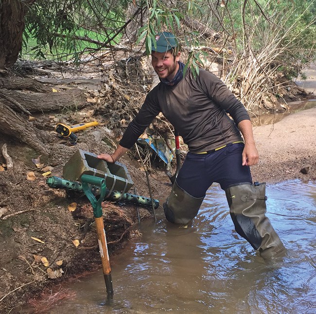
Flow is just one of the parameters the Sonoran Desert Network monitors on streams at Tumacácori and three other National Park Service units. The goal of the program is to detect broad-scale changes in stream health by observing certain measures over time—and to give park managers early warning of any issues they may need to address. The network measures water quality, water quantity (streamflow), channel morphology (the shape and composition of the streambed), riparian vegetation, and macroinvertebrate communities. The network also monitors groundwater levels at the park.
Stream and groundwater conditions are closely related to climate. Because they are better understood together, the network reports on climate in conjunction with water resources. Reporting is done by water year (WY), which begins in October and ends the following September.

Recent Findings (Water Year 2018)
Climate
In WY2018, overall annual precipitation was 74% of normal for Tumacácori National Historical Park (12.18" vs 16.56"). Rainfall was higher than normal in February and near normal in June–August. All other months received substantially less rainfall than normal. Temperatures tended to be warmer than normal—except during the summer months, which were slightly cooler. The reconnaissance drought index indicated that the drought that began in 2000 continued through WY2018, but has been less severe during the last five years. Additional information can be found at The Climate Analyzer.
Groundwater
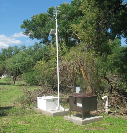
Groundwater is one of the most critical natural resources of the American Southwest, providing drinking water, irrigating crops, and sustaining springs, rivers, and streams throughout the region. At Tumacácori NHP, groundwater monitoring is conducted via automated and manual sampling of water wells at various depths. Two monitored wells at Tumacácori NHP indicated that mean groundwater levels in WY2018 were higher than the mean of the data record for each well (0.21–1.35 ft). Water levels dropped in response to dry spring conditions, then quickly increased with monsoon precipitation and flow events.

Streams
Streamflow
Streamflow data for this report were recorded at U.S. Geological Survey gauge 09481740, five kilometers downstream from Tumacácori NHP. Streamflow on the Santa Cruz River through the park was slightly below average in WY2018. Peak flow occurred on August 23. There were several smaller flow events on August 9, August 14, and September 19. Recorded discharge was typical for October–May, then decreased through the pre-monsoon, dry, hot period of late May and June.
Water Quality
Water quality monitoring occurred ~150 meters downstream from the southern boundary of the park, at the Santa Gertrudis index site. There were two exceedances of state water quality standards during WY2018: one for E. coli, and one for cyanide. Almost 98% of samples were compliant with state standards.
Macroinvertebrates and Fish
Macroinvertebrate and fish sampling occurred on the Santa Gertrudis index reach, a 460-meter length of the Santa Cruz River directly downstream of the southern boundary of the main unit at Tumacácori NHP. Values for the Arizona Index of Biological Integrity (an index used to measure wetland health) have placed the park segment of the Santa Cruz River at or below impaired status since WY2012 (although there is not an established index threshold for effluent-dominated streams in Arizona). There has been a decrease in overall insect abundance for the index reach from WY2012 to WY2018, as seen in targeted riffle samples. This pattern was not observed in the reach-wide samples. There was also a shift in community structure before and after WY2015. From WY2012 to WY2014, the Chironomidae subfamily, Orthocladiinae, was the most abundant insect taxa collected. After WY2015, the most abundant insect taxa collected was the Chironomidae subfamily, Chironominae. The cause of these patterns is unkown.

U.S. Fish and Wildlife Service/Ryan Hagerty
Three fish taxa were collected during collaborative sampling at the Santa Gertrudis index reach in WY2017: longfin dace (Agosia chryogaster) and Gila topminnow (Poeciliopsis occidentalis), and western mosquitofish (Gambusia affinis). The metric for longfin dace decreased in WY2018, while the metric for Poeciliidae (Gila topminnow and western mosquitofish) increased. The continued presence of longfin dace and Poeciliidae are positive indicators of the animals’ response to improved water quality and habitat features on this reach.
Information in this article was summarized from Status of climate and water resources at Tumacácori National Historical Park: Water year 2018, by E. L. Gwilliam, L. Palacios, and K. Raymond, 2019.
