Last updated: November 19, 2025
Article
SECN Highlights March 2018

New Southeast Coast Network Website Live!
The Southeast Coast Network unveiled phase one of its new website on March 12, 2018. The website, constructed using CommonSpot software and the NPS Content Management System, is designed to be more consistent with park pages. It features direct links to download species lists for SECN parks and a fresh clean layout.
Phase two will feature individual park pages, new monitoring pages, and information on data retrieval. It is expected to be live by the end of April. The new website is the culmination of months of work performed by the regional I&M editing team.

NPS Photo / Eric Starkey

NPS photo / Eric Starkey
Shallow Groundwater Well Monitoring
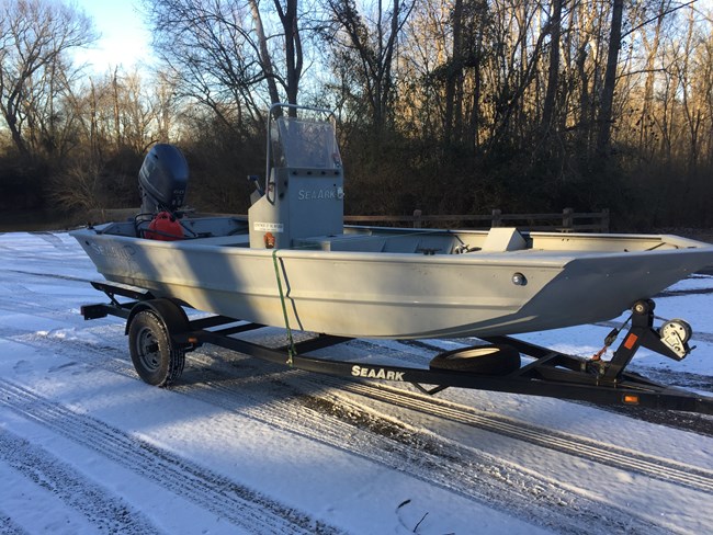
To kick off field work in 2018, SECN staff serviced the shallow ground water monitoring wells at Cumberland Island National Seashore. Despite the chilly weather and snow in Athens, staff were able to install new level loggers in all five wells and reconfigure a well housing. Level data is now available for Burbank Point, Honey Hole, Lake Retta, South-end Pond and Lake Whitney. Data show the influence of passing tropical storms, hurricanes, and seasonal drying. New data will be posted following the next site visit in March.

NPS photo / Eric Starkey
Southeast Coast Network Ecologist Attends National Training
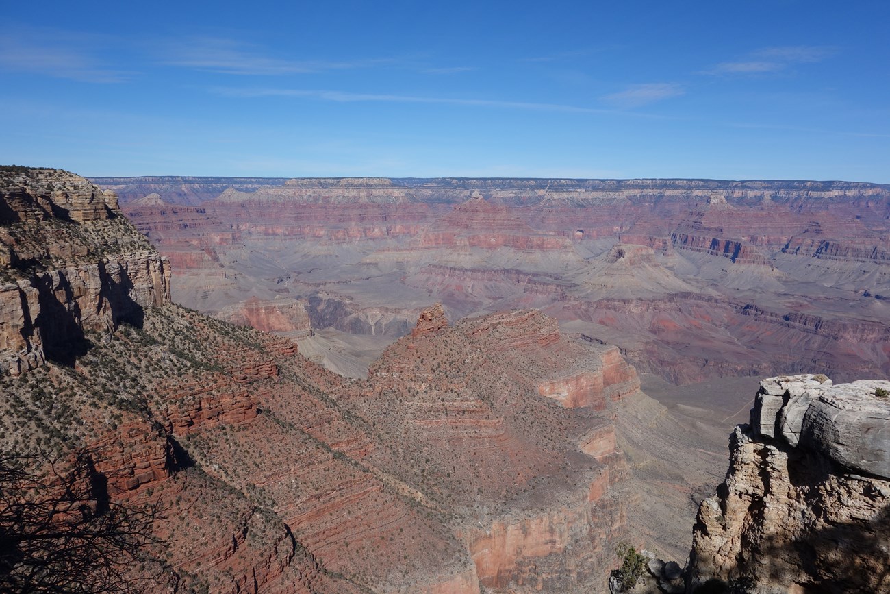
In January 2018, SECN Aquatic Ecologist Eric Starkey attended the first biennial Inventory and Monitoring scientist training at the Horace Albright Training Center in Grand Canyon National Park. The training covered an array of scientific topics, and provided a great opportunity for the network to seek collaborative opportunities with other networks across the country. Knowledge gained and contacts made in this workshop will help the Southeast Coast Network excel with protocol implementation and reporting.
For More About the SECN: https://www.nps.gov/im/secn/index.htm
Tags
- salt marshes
- science and resource management
- inventory monitoring
- groundwater dynamics
- inventory monitoring
- im
- well
- science and learnng
- timucuan ecological and historic preserve
- fort matanzas
- canaveral national seashore
- cumberland island national seashore
- cape hatteras national seashore
- cape lookout national seashore
- grand canyon national park
- secn network highlights
