Last updated: November 24, 2025
Article
SECN Highlights April 2017

NPS photo
Newsworthy Stuff
- In March, Mark Hynds joined the SECN as a full-time editor, through a contract with the University of Georgia’s River Basin Center. He previously worked as the editor of a weekly newspaper in northeast Georgia.
- Dela Yazdansepas was recently recognized and conferred membership in the Blue Key National Honor Society for excellence in scholarship, leadership and service. Dela is a graduate assistant in data management.
- Lisa Baron attended and presented at the Timucuan Ecological & Historic Preserve Science and History committee meeting.
- The staff at Cape Hatteras National Seashore was trained on shoreline monitoring methods.
- Preliminary maps with post-hurricane Matthew shoreline and spring 2017 shorelines were created and sent to resource managers.
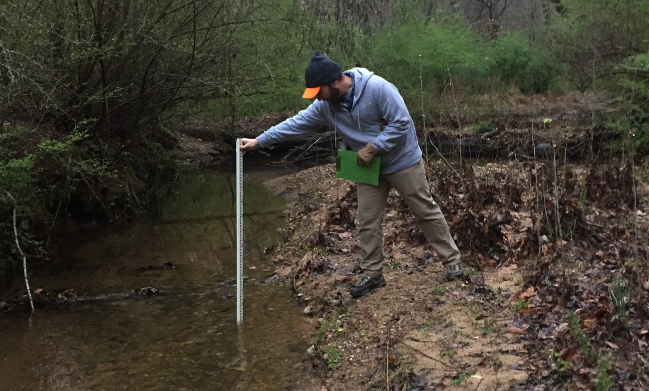
- In March, Eric Starkey and Jake McDonald (SECN aquatic ecologist and fluvial geomorphologist) visited Chattahoochee River National Recreation Area to perform stream channel monitoring site reconnaissance. Geoscientists-in-the-Parks (GIP), who are seasonal interns, provided valuable field assistance. Over the course of four days, 33 stream sites in 13 park units were evaluated for inclusion in the wadeable stream channel monitoring effort. Stream segments were determined to be suitable for long-term monitoring if they could be safely accessed, were part of a single channel, wadeable stream, and were not greatly influenced by upstream impoundments. Monitoring of the 14 selected sites will begin June and will mark the first implementation of SECN stream channel monitoring at Chattahoochee River National Recreation Area.
Field Work
Completed in March
- Spring shoreline monitoring at the following parks: Canaveral National Seashore, Fort Matanzas National Monument, Timucuan Ecological & Historic Preserve, Cumberland Island National Seashore, and Cape Hatteras National Seashore.
- Landbird and Anuran field work (ARD deployments) at Ocmulgee National Monument, Congaree National Park, Moores Creek National Battlefield, Canaveral National Seashore and Fort Frederica National Monument was completed.

NPS photo / Lisa Cowart Baron
After Hurricane Matthew
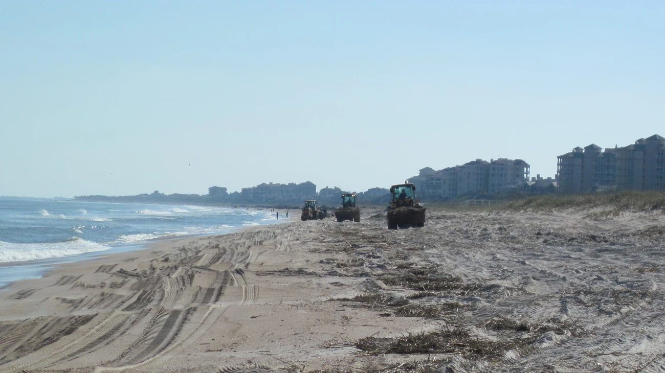
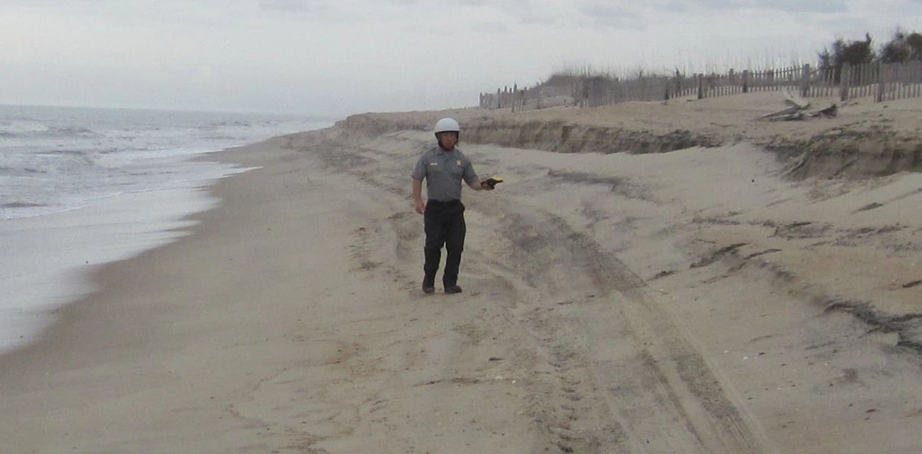
Several Southeast Coast Network parks (Canaveral National Seashore, Cape Hatteras National Seashore, Cape Lookout National Seashore, Cumberland Island National Seashore, Fort Matanzas National Monument, and Timucuan Ecological and Historic Preserve) recently requested additional shoreline surveys to be conducted post-Hurricane Matthew. This additional survey work was completed last November.
Inventory and monitoring data serve to document baseline natural resource conditions, and can be extremely useful to park managers interested in assessing the impacts of natural or human-caused disasters. Because documentation of I&M data is scientifically rigorous, repeating inventories or monitoring after an event can provide accurate and timely data on resource impacts.
NPS photo / Lisa Cowart Baron
NPS photo / Lisa Cowart Baron
Before and After Hurricane Matthew
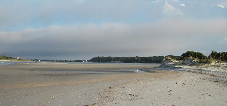
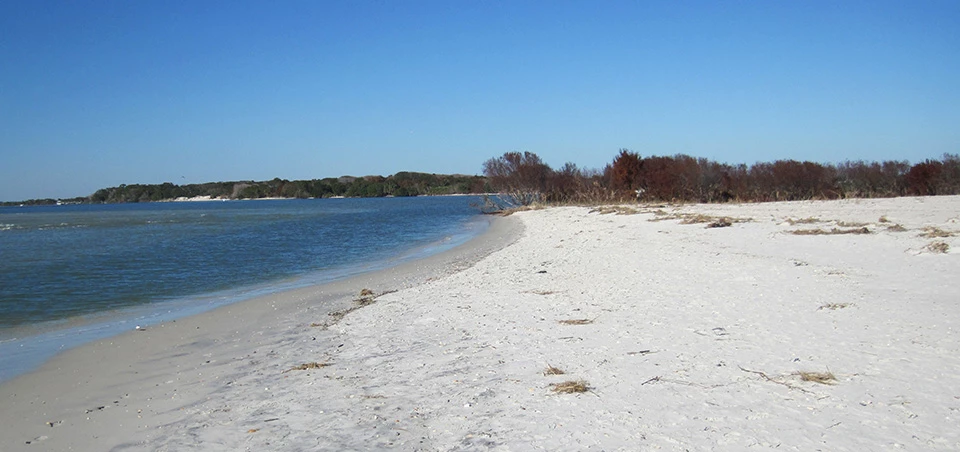
Left image
Shoreline of Fort Matanzas National Monument taken in September 2016.
Credit: NPS photo / Lisa Cowart Baron
Right image
Shoreline of Fort Matanzas National Monument taken in November 2016 after Hurricane Matthew.
Credit: NPS photo / Lisa Cowart Baron
For More About the SECN: https://www.nps.gov/im/secn/index.htm
Tags
- hurricane matthew
- fort matanzas national monument
- canaveral national seashore
- cape hatteras national seashore
- cape lookout national seashore
- cumberland island national seashore
- timucuan ecological and historic preserve
- stream channel monitoring
- chattahoochee river national recreation area
- shoreline monitoring
- post-storm shoreline surveys
- landbird community monitoring
- anuran community monitoring
- vegetation monitoring
- fort pulaski national monument
- ocmulgee national monument
- congaree national park
- moores creek national battlefield
- secn network highlights
