Last updated: July 10, 2024
Article
NPS Geodiversity Atlas—Mammoth Cave National Park, Kentucky
Geodiversity refers to the full variety of natural geologic (rocks, minerals, sediments, fossils, landforms, and physical processes) and soil resources and processes that occur in the park. A product of the Geologic Resources Inventory, the NPS Geodiversity Atlas delivers information in support of education, Geoconservation, and integrated management of living (biotic) and non-living (abiotic) components of the ecosystem.

Introduction
Mammoth Cave National Park (MACA) is located approximately 140 km (90 mi) south of Louisville and 30 km (20 mi) northeast of Bowling Green in Barren, Edmonson, and Hart Counties, Kentucky. Established on July 1, 1941, MACA encompasses about 21,379 hectares (52,830 acres) and protects internationally recognized biological and geological resources associated with Mammoth Cave, the Green and Nolin River valleys, and extensive evidence of human history spanning the last 12,000 years (National Park Service 2016a). Mammoth Cave is the longest known cave system on earth with 676 km (420 mi) surveyed to date; underground rivers at the water table are still carving new passages today. Over millions of years, water has infiltrated its way deeper into the landscape, forming a variety of karst features including sinking streams, sinkholes, speleothems, and a vast interconnected cave network. The cultural and natural resources protected within MACA have received international recognition, first dedicated as a World Heritage Site in 1981 and as an International Biosphere Reserve in 1990.
Geologic Features and Processes
The Mammoth Cave area is one of the most studied karst areas in the world. The park is a World Heritage Site as well as an International Biosphere Reserve, which preserves part of a complex and spectacular karst ecosystem in south-central Kentucky. Caves and karst topography at Mammoth Cave have formed in Mississippian (about 359 to 318 million years ago) to Pennsylvanian in age (318 to 299 million years ago) limestone. The Park contains over 400 caves, including the longest known cave in the world, the Mammoth Cave System (643 km (400 mi)), which is more than twice as long as any other known cave in the world. The park has high diversity of both terrestrial and aquatic cave-adapted creatures, including three endangered species – the Kentucky cave shrimp (Palaemonias ganteri), Indiana bat (Myotis sodalist) and Gray bat (Myotis grisescens).
Mammoth Cave National Park is near the southeastern edge of the Chester Upland, an elevated region capped by erosion-resistant sandstone rock. The Green River meanders through the park from east to west, and the Nolin River cuts through the northwest corner of the park where it flows south to join the Green River. On the south side of the Green River, inside the park, the land is shaped into a series of northwest trending valleys (Woolsey, Doyle, and Houchins valleys) and ridges (Joppa, Mammoth Cave, and Flint ridges). The park is bordered to the southeast by the Chester Escarpment, a line of relatively steep cliffs which marks the boundary between the Chester Upland and the Pennyroyal Plateau.
Paleontological Resources
Paleontological resources at Mammoth Caves are found in rock outcrops on the surface, and within the cave system. The units associated with fossil assemblages include the St. Louis Limestone (Upper Mississippian), Ste. Genevieve Formation (Upper Mississippian), Girkin Formation (Upper Mississippian), Haney Limestone (Upper Mississippian), and the Glen Dean Limestone (Upper Mississippian). The St. Louis Formation contains marine invertebrates (coral, brachiopods, gastropods, cephalopods, crinoids, echinoderms, bryozoans and bivalves), the Ste. Genevieve Formation has both marine invertebrates (brachiopods, echinoderms, and crinoids) and vertebrates (conodonts, shark remains, fish remains), and the Girkin Formation contains marine invertebrates (brachiopods, corals, crinoids, and echinoids).
All NPS fossil resources are protected under the Paleontological Resources Preservation Act of 2009 (Public Law 111-11, Title VI, Subtitle D; 16 U.S.C. §§ 470aaa - 470aaa-11).
Cave and Karst
Each year more caves or passages are discovered within the park, providing the continued opportunity for mapping, documentation and additional scientific studies of the caves and its resources. Mammoth Cave is world-class karst area and it provides the opportunity for continued research in cave and karst studies, and the collection of long-term monitoring data. The complex and sensitive resource issues provide educational opportunities to the visiting public and local communities.
The contamination of the karst aquifers within the Mammoth Cave region are long-term ongoing threats to the cave and karst systems. Alterations to the area in and around the park have created numerous stressors that have altered the aquatic ecosystem. Non-point source pollution (nutrients, pesticides, and sediment) and point source pollution (toxic spills) have the potential to affect the waters and dependent wildlife of the park. Physical changes or potential changes to the park’s hydrology have or have the potential to severely alter flow regimes and aquatic habitat.
All NPS cave resources are protected under the the Federal Cave Resources Protection Act of 1988 (FCRPA)(16 U.S.C. § 4301 et seq.).
Regional Geology
Mammoth Cave is a part of the Interior Low Plateaus Physiographic Province and shares its geologic history and some characteristic geologic formations with a region that extends well beyond park boundaries.
Maps and Reports
- Scoping summaries are records of scoping meetings where NPS staff and local geologists determined the park’s geologic mapping plan and what content should be included in the report.
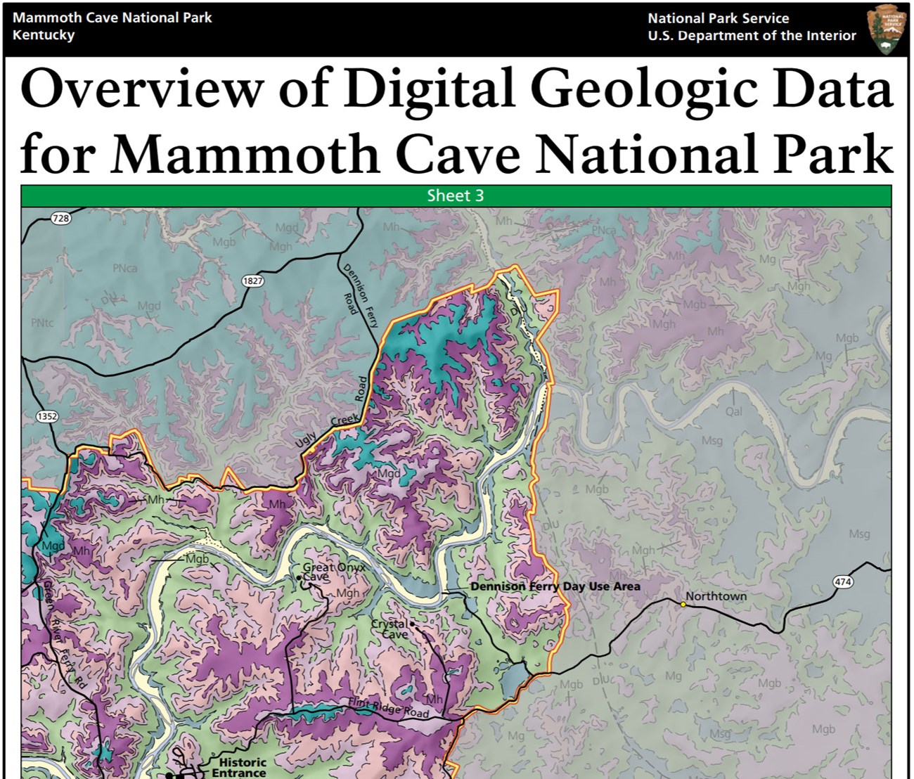
- Digital geologic maps include files for viewing in GIS software, a guide to using the data, and a document with ancillary map information. Newer products also include data viewable in Google Earth and online map services.
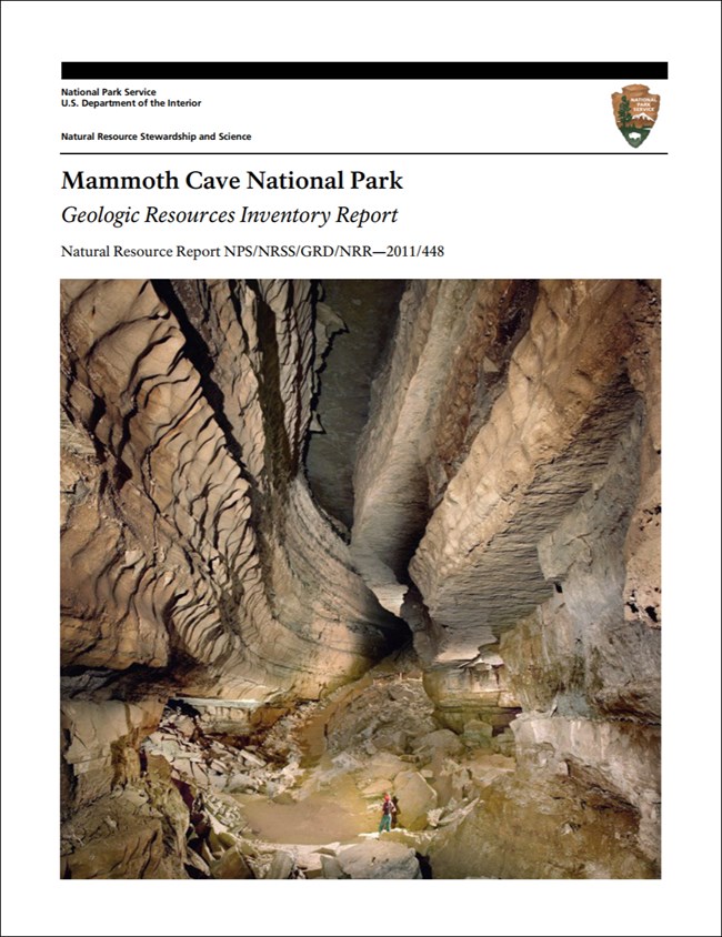
- Reports use the maps to discuss the park’s setting and significance, notable geologic features and processes, geologic resource management issues, and geologic history.
- Posters are a static view of the GIS data in PDF format. Newer posters include aerial imagery or shaded relief and other park information. They are also included with the reports.
- Projects list basic information about the program and all products available for a park.
Source: NPS DataStore Saved Search 3009. To search for additional information, visit the NPS DataStore.
A NPS Soil Resources Inventory project has been completed for Mammoth Cave National Park and can be found on the NPS Data Store.
Source: NPS DataStore Saved Search 3056. To search for additional information, visit the NPS DataStore.

Related Links
Related Articles
Mammoth Cave National Park
National Park Service Geodiversity Atlas
The servicewide Geodiversity Atlas provides information on geoheritage and geodiversity resources and values within the National Park System. This information supports science-based geoconservation and interpretation in the NPS, as well as STEM education in schools, museums, and field camps. The NPS Geologic Resources Division and many parks work with National and International geoconservation communities to ensure that NPS abiotic resources are managed using the highest standards and best practices available.

