Last updated: December 3, 2024
Article
NPS Geodiversity Atlas—John Day Fossil Beds National Monument, Oregon
Geodiversity refers to the full variety of natural geologic (rocks, minerals, sediments, fossils, landforms, and physical processes) and soil resources and processes that occur in the park. A product of the Geologic Resources Inventory, the NPS Geodiversity Atlas delivers information in support of education, Geoconservation, and integrated management of living (biotic) and non-living (abiotic) components of the ecosystem.

Introduction
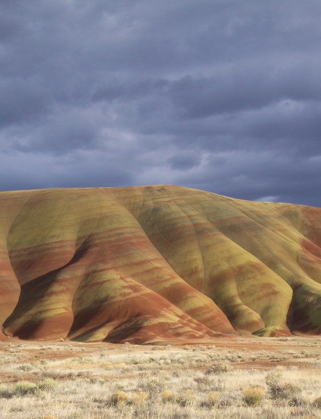
John Day Fossil Beds National Monument (JODA) is located within the John Day River valley in Grant and Wheeler Counties, north-central Oregon. Authorized on October 26, 1974, JODA encompasses approximately 5,690 hectares (14,062 acres) and preserves a remarkably complete fossil record spanning nearly 50 million years of the “Age of Mammals and Flowering Plants”, from ~50 million to 7.5 million years ago (Albright et al. 2008; National Park Service 2016a). John Day Fossil Beds National Monument and the surrounding badlands contain a diverse assemblage of fossil plants and vertebrates. The notable fossil species from JODA include early horses, rhinoceroses, canids, and members of more than 30 other mammalian families entombed in reworked volcanic sediments. The monument is geographically dispersed among three widely separated units (Sheep Rock, Painted Hills, and Clarno units) and includes significant natural features such as the towering Clarno Palisades, Picture Gorge, Sheep Rock, Goose Rock, Blue Basin, and Cathedral Rock.
Geologic Setting
The geology of John Day Fossil Beds National Monument include lava flows, lahars, ash beds, tuff layers, and interbedded sedimentary rocks that record ancient depositional environments that include alluvial fan, floodplain, stream, and lacustrine ecosystems. Rock units within JODA are primarily Paleogene–Neogene in age and include the Clarno Formation, John Day Formation, igneous units associated with the Columbia River Basalt Group, Mascall Formation, and Rattlesnake Formation. Some of the oldest rocks mapped within the monument are conglomerates and sandstone lenses of the Cretaceous Mitchell Group (Gable Creek Formation) found in the Sheep Rock Unit. The greatest diversity and abundance of fossil specimens are found in the John Day Formation. Museum collections from JODA include nearly 54,000 specimens of plant and animal fossils that encompass most of the Cenozoic Era (Graham 2014a; N. Famoso, JODA Paleontology Program Manager and Museum Curator, pers. comm., 2022). These well-preserved fossil collections document evolutionary change and extinction through time and provide evidence of complex biological responses to changing climate and geologic events (Graham 2014a).
Regional Geology
John Day Fossil Beds National Monument is a part of the Columbia Plateau Physiographic Province and shares its geologic history and some characteristic geologic formations with a region that extends well beyond park boundaries.
- Scoping summaries are records of scoping meetings where NPS staff and local geologists determined the park’s geologic mapping plan and what content should be included in the report.
- Digital geologic maps include files for viewing in GIS software, a guide to using the data, and a document with ancillary map information. Newer products also include data viewable in Google Earth and online map services.
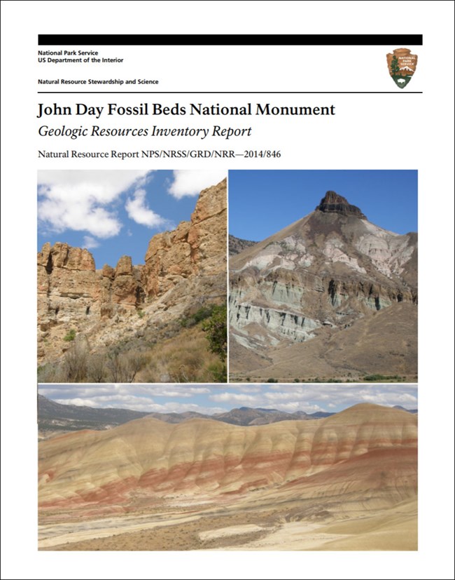
- Reports use the maps to discuss the park’s setting and significance, notable geologic features and processes, geologic resource management issues, and geologic history.
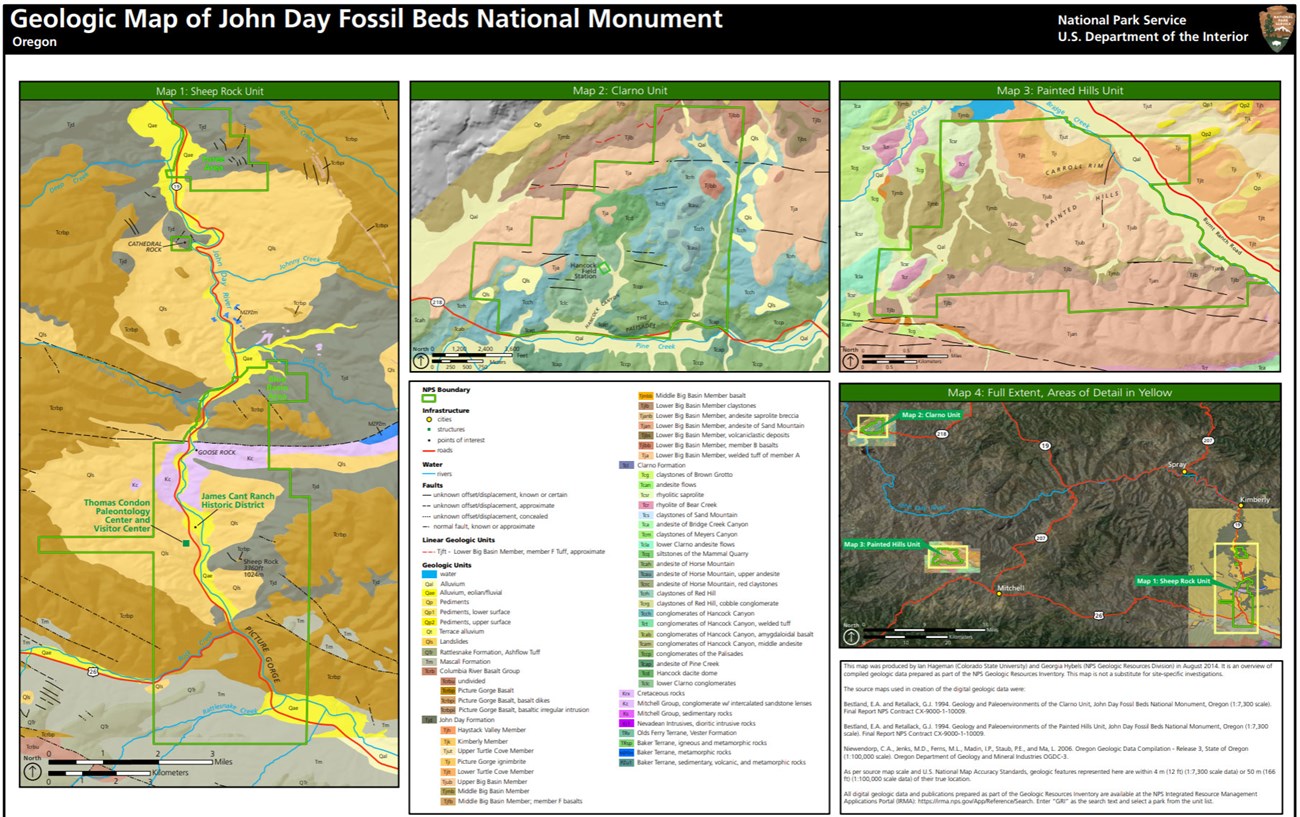
- Posters are a static view of the GIS data in PDF format. Newer posters include aerial imagery or shaded relief and other park information. They are also included with the reports.
- Projects list basic information about the program and all products available for a park.
Source: NPS DataStore Saved Search 2909. To search for additional information, visit the NPS DataStore.
A NPS Soil Resources Inventory project has been completed for John Day Fossil Beds National Monument and can be found on the NPS Data Store.
Source: NPS DataStore Saved Search 2981. To search for additional information, visit the NPS DataStore.

Related Links
Related Articles
John Day Fossil Beds National Monument
National Park Service Geodiversity Atlas
The servicewide Geodiversity Atlas provides information on geoheritage and geodiversity resources and values within the National Park System. This information supports science-based geoconservation and interpretation in the NPS, as well as STEM education in schools, museums, and field camps. The NPS Geologic Resources Division and many parks work with National and International geoconservation communities to ensure that NPS abiotic resources are managed using the highest standards and best practices available.

