Last updated: June 18, 2024
Article
NPS Geodiversity Atlas—Fort Union National Monument, New Mexico
Geodiversity refers to the full variety of natural geologic (rocks, minerals, sediments, fossils, landforms, and physical processes) and soil resources and processes that occur in the park. A product of the Geologic Resources Inventory, the NPS Geodiversity Atlas delivers information in support of education, Geoconservation, and integrated management of living (biotic) and non-living (abiotic) components of the ecosystem.

Introduction
Fort Union National Monument (New Mexico) was established in 1954 to preserve the historic remains and setting of Fort Union, and to interpret its role in westward expansion in the Southwest. Fort Union was once the site of the largest military presence in the Southwest, and was active between 1851 and 1891. The history of the fort is also closely tied to that of the Santa Fe Trail, the critical commercial overland route between Missouri and Santa Fe, New Mexico.
The monument has two units: a smaller western unit, which contains the foundation of the first Fort Union and the stabilized ruins of the third fort’s arsenal, and the main unit which contains the second “star-shaped” fort and the remains of the third Fort Union.
Geologic Features and Processes
Fort Union is located on the High Plains of northern New Mexico near where the plains meet the Sangre de Cristo Mountains to the west. The Cretaceous Graneros Shale underlies almost the entire monument, and there are outcrops of the Dakota Sandstone just to the west of the smaller unit. Both the Graneros Shale and Dakota Sandstone were deposited in or near the Western Interior Seaway approximately 100 million years ago.
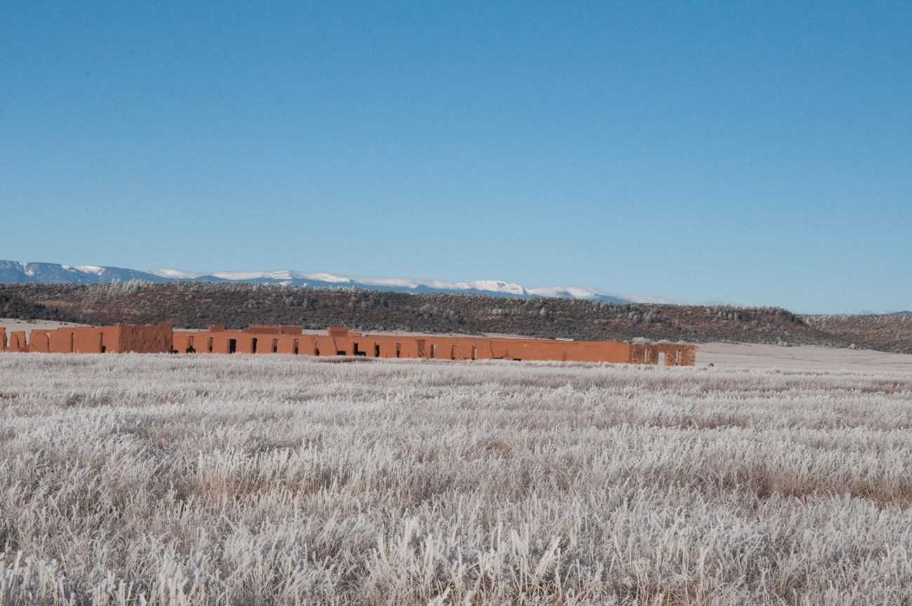
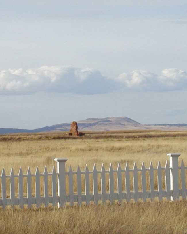
Although Fort Union NM is small at only 721 acres, it is situated within a landscape of great geological diversity; geodiversity that is also an important part of the character of the historic site. Two important landmarks within the fort’s viewshed, Black Mesa and the Turkey Mountains, have a very different geologic history than that of the lands within the monument boundary, resulting from igneous processes.
Geologic features and processes identified in the park’s Geologic Resource Inventory include:
-
Volcanic Features
-
Dakota Sandstone
-
Turkey Mountains
-
Caves
-
Eolian Features and Processes
-
Building Materials
-
Stream Terraces
-
Paleontological Resources

NPS photo.
Geologic Setting
The Graneros Shale is a dark gray shale was deposited in shallow marine conditions in the Western Interior Seaway. Its thickness in Fort Union NM is unknown but is estimated to be approximately 150 ft (45 m). The Graneros Shale overlies the Dakota Sandstone, except where the Fort Union fault brings the two units in contact with one another just west of the smaller unit. The Dakota Sandstone represents a transitional environment from coastal plain to shallow marine during a transgressive sequence of the Western Interior Seaway. The Dakota Sandstone near Fort Union reaches thicknesses up to 200 ft (60 m).
Older sedimentary rocks are found in the foothills of the Sangre de Cristo Mountains above Fort Union and in the Turkey Mountains to the northeast. The Turkey Mountains were formed by a type of shallow igneous intrusion called a laccolith where a dome-shaped body of magma with a flat floor domed up sedimentary units above it. The age of these igneous intrusions are not well known, but were emplaced during the middle to late Tertiary. Fort Union sits near the southern extent of the Ocaté volcanic field, which was active between 8.3 and 0.8 million years ago. The Ocaté is one of several young volcanic fields oriented along the Jemez Lineament in New Mexico. The field consists of several vents, some of which built cinder cones, and extensive lava flows, predominantly of basaltic compositions. Older lava flows like the one holding up Black Mesa stand higher than the surrounding landscape in classic examples of inverted topography. At the time of eruption, lava would have flowed into low areas. But since the volcanic rock is harder and more resistant to erosion than the surrounding sedimentary rocks, as erosion progressed, the former low areas that were filled with lava became topographic highs.
Cave and Karst
No caves or karst features are found in Fort Union NM. Lava tubes are sometimes found in basaltic lava flows. No lava tubes have been documented in the nearby basalt of Black Mesa and the basalt of Wolf Creek.
All NPS cave resources are protected under the Federal Cave Resources Protection Act of 1988 (FCRPA)(16 U.S.C. § 4301 et seq.).
Related Links
Geohazards
Natural geologic processes continue to occur in and around Fort Union NM on time scales ranging from seconds to years. Visitors should be cautious and alert to geohazards that may be present. Some rockfall occurs in the area, particularly along the Dakota Sandstone ridge on the western side of the smaller unit. Only a small section of the ridgeline itself intersects the park boundary, but the park is downslope from it. The closest faults to Fort Union NM that have Quarternary displacement are the El Oro and Quebraditas faults that are at least 30 miles to the west. Flash flooding may also present a potential hazard along Wolf Creek.
Related Links
-
USGS Earthquakes Hazard Program Information by Region-New Mexico
-
USGS—Map and Data for Quaternary Faults and Folds in New Mexico
Other Geologic Resources and Issues
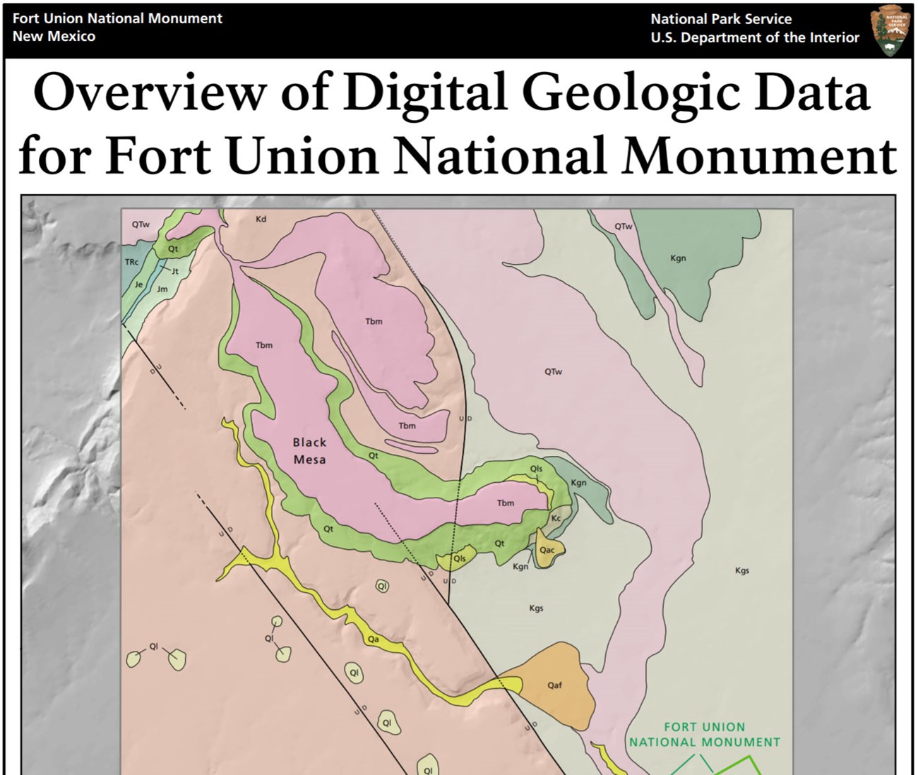
Breezy conditions are characteristic throughout the High Plains. Dust storms were frequent at Fort Union during its use as a military outpost. Eolian deposits were reportedly present during the occupation of Fort Union, but are not present today as shown on the geologic map. The fort was surrounded by trampled and grazed areas that were sometimes even completely devoid of vegetation and therefore subject to the erosive power of the wind. Today, the landscape has been largely revegetated, effectively stopping eolian erosion and transport.
Geologic resources were utilized as building materials during construction of the fort. The Dakota Sandstone was quarried for building stone, and clays from the Graneros Shale were used for adobe and in mortar.
Wolf Creek is a spring-fed perennial stream located between the two units of Fort Union NM. Alluvium covers the Wolf Creek channel and floodplain, but no older terrace deposits have been mapped along its course.
Trail ruts caused by wagon wheels and animal tracks are important cultural resources associated with Fort Union and the Santa Fe Trail. Although they originated as disturbed land features, today they have great cultural significance, as they are one of the primary tangible resources of the Santa Fe Trail. Most of the ruts at Fort Union are stable and are not being impacted by active incision.
Paleontological Resources
No fossils have been documented in Fort Union NM or in the immediate area. Fossils, including oysters, ammonites, gastropods, and foraminifera have been reported from the Graneros Shale elsewhere in New Mexico. Fossils, mostly likely mollusks, may also be present in the Quarternary alluvium associated with Wolf Creek. Dinosaur tracks and petrified wood have been found in the Dakota Sandstone elsewhere in northeastern New Mexico. Blocks of Dakota Sandstone were used as building stone and may travel downslope into the monument from the ridge just west of the smaller unit.
All NPS fossil resources are protected under the Paleontological Resources Preservation Act of 2009 (Public Law 111-11, Title VI, Subtitle D; 16 U.S.C. §§ 470aaa - 470aaa-11).
Regional Geology
Fort Union National Monument is a part of the Great Plains Physiographic Province and shares its geologic history and some characteristic geologic formations with a region that extends well beyond park boundaries.
- Scoping summaries are records of scoping meetings where NPS staff and local geologists determined the park’s geologic mapping plan and what content should be included in the report.
- Digital geologic maps include files for viewing in GIS software, a guide to using the data, and a document with ancillary map information. Newer products also include data viewable in Google Earth and online map services.
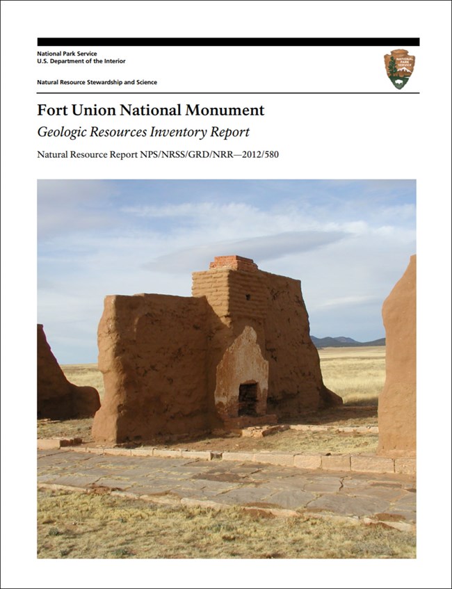
- Reports use the maps to discuss the park’s setting and significance, notable geologic features and processes, geologic resource management issues, and geologic history.
- Posters are a static view of the GIS data in PDF format. Newer posters include aerial imagery or shaded relief and other park information. They are also included with the reports.
- Projects list basic information about the program and all products available for a park.
Source: NPS DataStore Saved Search 2669. To search for additional information, visit the NPS DataStore.
A NPS Soil Resources Inventory project has been completed for Fort Union National Monument and can be found on the NPS Data Store.
Source: NPS DataStore Saved Search 2670. To search for additional information, visit the NPS DataStore.

Related Links
Related Articles
Fort Union National MonumentNational Park Service Geodiversity Atlas
The servicewide Geodiversity Atlas provides information on geoheritage and geodiversity resources and values within the National Park System. This information supports science-based geoconservation and interpretation in the NPS, as well as STEM education in schools, museums, and field camps. The NPS Geologic Resources Division and many parks work with National and International geoconservation communities to ensure that NPS abiotic resources are managed using the highest standards and best practices available.

