Part of a series of articles titled Park Uses of Geologic Information.
Previous: Geologic Maps in Action—Support Science
Article

NPS photo.
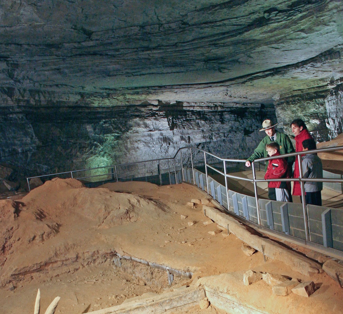
Kentucky’s Mammoth Cave National Park preserves the longest known cave in the world, featuring almost 400 miles of mapped interconnected passages. Examination of a geologic map shows limestone rock, through which the cave is formed, beneath a layer of sandstone. The sandstone protects the underlying limestone cave, similar to the way a roof protects your home.


Left image
Geologic map showing a portion of Mammoth Cave National Park.
Credit: NPS image by Geologic Resources Inventory.
Right image
Students use a tarp to capture and measure water at the cave entrance, Mammoth Cave National Park, Kentucky.
Credit: NPS image by Rebecca Port.
Part of a series of articles titled Park Uses of Geologic Information.
Previous: Geologic Maps in Action—Support Science
Last updated: October 1, 2019