Part of a series of articles titled Coastal Geomorphology—Beach Response to Storms.
Article
Barrier Island Response to Storms

NPS photo by Phil Slattery.
Introduction
Storms are an integral part of the dynamic barrier island system where periodic overwash helps to build island height by deposition. However, the barrier island system has a threshold and given the potential for future increases in sea level and storm activity, threshold crossing may occur in some systems. Intense overwash events will push sediment landward into the adjacent sounds and cause the islands to migrate. As this occurs, portions of these barrier islands could once again become segmented into submarine shoals diminishing their capabilities to buffer storm energy along the mainland coast.
Barrier Dune Systems
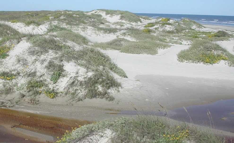
As a hurricane approaches the mainland, barrier islands (where they exist) are the first land feature in the path of the storm. Where a well-developed, fore-island dune ridge exists, such as at Big Shell Beach in Padre Island National Seashore (Texas), a barrier island provides a line of defense for the back-island and mainland; the barrier helps to block the storm surge and dissipate large amounts of wave energy (Weise and White 1980). However, storm surge produced by hurricanes do not always stop at the beach and fore-island area. If a category 2 or stronger hurricane makes landfall near Padre Island National Seashore, for example, storm surge will likely inundate the cuts between the dunes. If water levels rise sufficiently high to allow wave attack, dune erosion could be severe (U.S. Geological Survey 2008).

NPS photo by Julia Brunner.
Inlet Formation
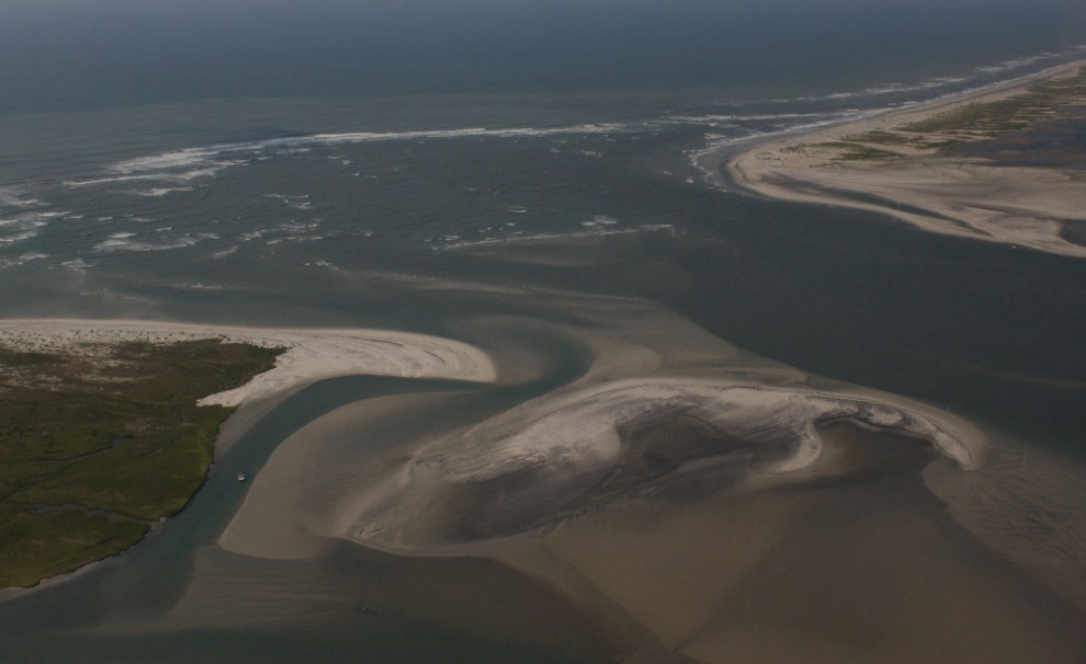
A significant effect of storms is the excavation of new inlets. This type of barrier breaching is more likely to originate from the bay side than from the ocean side, which may come as a surprise. According to Pinet (1992), the excavation results from a combination of factors. First, the bay becomes swollen with water due to abnormal storm precipitation, increased runoff from both the mainland and the barrier island, and inflow driven by the storm surge offshore. Second, the strong onshore winds that lash the area create a storm surge not only against the seaward side of the barrier but against the mainland, so that the water surface of the bay slopes downward toward the barrier island. As the storm and its onshore winds dissipate, water in the bay sloshes back against the barrier, occasionally overtopping the island at its most vulnerable, low-lying points and cutting a channel through it. The new inlet serves as a discharge conduit for the large volume of excess water trapped in the bay. Additionally, the process of inlet construction may be enhanced by winds that veer from an onshore to an offshore direction as the storm center passes the site, blowing bay water though the newly formed inlet.
In many cases, the storm-generated inlet is short-lived because the nearshore drift of sand quickly closes the passage on its ocean side. However, along narrow barriers that have few tidal inlets (e.g., Gulf Islands), some breached inlets may deepen and widen to become principal “exchange routes” for bay and ocean waters. For instance, the storm surge during Hurricane Camille (1969) created the pass between West Ship and East Ship islands. Stormflow from major rivers on the mainland can also scour an inlet, helping to maintain the opening (Webb et al. 1989). Inlets along microtidal coasts, such as the Gulf Islands, tend to close unless substantial outflow from a major river interferes.

NPS photo.
Washover Channels and Fans
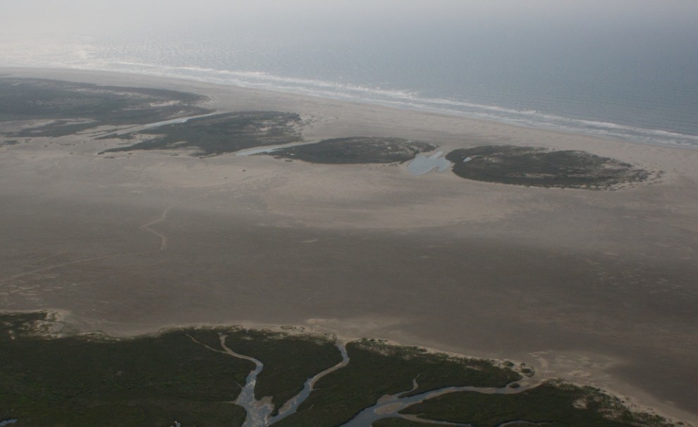
Storm surge enables large waves to reach far into the interiors of barrier islands, at times breaching the islands. At Gulf Islands National Seashore, overwash during surges of major hurricanes (e.g., Frederic [1979], Ivan [2004], and Katrina [2005]) penetrated several hundred meters, reaching the islands’ centers and even the sound shores, as well as overwhelming and locally destroying tall foredunes (Otvos and Carter 2008). This overtopping process causes the transfer of sand from the seaward face to the backside of the barrier, producing a system of overlapping and coalescing washover fans that comprise the back-island flats.
Washover channels eroded during recent hurricanes are likely to be reactivated during the next large storm. Overwash areas, which are indicators of hazards to coastal development, are typically characterized by low elevations adjacent to the back beach, absence of dunes, and barren or sparse vegetation. According to Leatherman (1988), overwash generally occurs where the dune system has been weakened either naturally by wind erosion, forming blowouts, or artificially by human activities (e.g., at vehicle crossovers). Depressions in the ridge front serve as passages for flood waters during storms; overwash moves through these breaches and excavates the dune base by lateral undercutting. In this fashion, the washovers will become larger at the expense of barrier dunes.
Related Links
Last updated: June 11, 2019
