Last updated: August 22, 2022
Article
Oregon and California National Historic Trails Fall 2022 Newsletter
Read the latest project updates and completions from the National Trails Office of the National Park Service (NPS).
To print this newsletter, or save it as a pdf: CTRL + P or Right Click with your Mouse, and select "Print."
NPS Photo
American Solar Challenge on the Oregon Trail
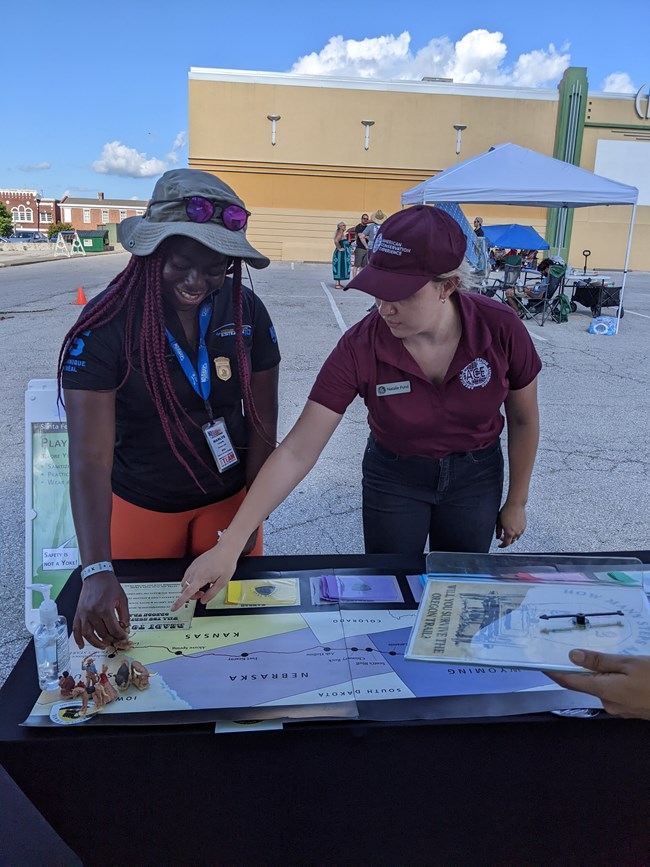
In July, National Trails office (NTIR) staff and fellows followed the American Solar Challenge (ASC) on the Oregon National Historic Trail from Independence, Missouri to Twin Falls, Idaho. The Solar Challenge teams were from colleges across the United States and Canada and their teams spent the last year building a solar powered car. After going through a set of inspections and qualifications, the teams raced for eight days and the students had the chance to put their projects to the test and experience some of the trials and tribulations of the trail. The NTIR team set up a tent at each checkpoint along the race route to provide visitors and team members information about the trail, an opportunity to earn a junior ranger badge, and participate in a fun and interactive Oregon Trail board game.
During the ASC, NTIR Facebook and Instagram platforms shared race updates and invited the audience to travel the Oregon National Historic Trail. NTIR made a variety of social media posts including short videos, pictures, and a viewer survey to increase audience engagement. NTIR's audience on Instagram grew by 2,000 followers during July. The Oregon National Historic Trail Facebook page reached 24,323 people; this is 639.5% more than in the previous month’s reach, and the page gained 288 new followers!
Image/Courtesy of Library of Congress
First Year In Oregon
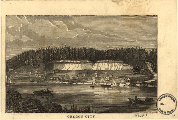
Many emigrant families reached the Willamette Valley with little more than their battered wagons, a few worn out draft animals, and the clothes on their backs. How would they find food and shelter for to survive the dark, wet winter ahead? Read the report to learn more!
The complete First Year in Oregon report is now available on the NTIR website! Check out: First Year in Oregon, 1840-1869: A Narrative History. Scroll down past the summary report for options to click for the complete report.
Signing Updates
NTIR welcomed Nicole Kemler, our new California Department of Transporation (CALTRANS) signing and partnerships fellow, in July. Nicole will be working predominately on the CALTRANS sign project, which, once completed, will mark the California and Pony Express National Historic Trails (NHTs) across the entire state of California.
Working in partnership with the State of Utah, signage to mark the historic route of the California Trail and a site id sign have been ordered for the newly certified Black Rock Historic Site, located just outside of Salt Lake City.
NTIR staff will be working with OCTA and the Nevada Deparment of Transporation (DOT) in 2023 on a state-wide sign plan, which will add signs along all DOT managed roads where they align with the California, Pony Express, and Old Spanish NHTs.
Site Design
NTIR staff completed a conceptual site plan in May for a new park in Lakepoint, UT. The park, currently called “Emigrant Trail Park”, has a set of California Trail swales that run through it. The swales will be highlighted and interpreted for park visitors. Construction for the park began this past June.
NPS Photo
Out on the Trail
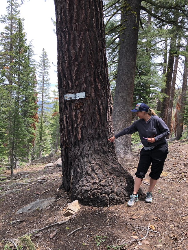
NTIR staff from the Cultural, History, Interpretation, and Design & Development teams drove the Applegate, Lassen, Nobles, Beckwourth, and Carson routes of the California Trail through California in June and July to gather information and photos for the California Auto Tour Route guide. The driving route was developed in consultation with California Chapter members and with the aid of Emigrant Trails West guides. The next step will be to draft the driving directions for review by OCTA members. During one of the trips, Bill Holmes and Bart Johnson took the group on a tour of Johnson’s Rancho (Truckee Route, California Trail).
NTIR staff from the Cultural, History, and Interpretation teams traveled the Oregon, California, Mormon Pioneer, and Pony Express corridor from Independence and St. Joseph, Missouri, through Salt Lake City, Utah, in May. Travis Boley conducted the group around the Independence-Kansas City and St. Joseph areas, with stops at Fort Leavenworth and Weston, and introduced them to Remington Nature Center’s Director Sarah Elder. NTIR staff also met with Duane Iles and others at Alcove Springs, where they discussed a wayside exhibit project and potential visual impacts of proposed transmission lines and wind energy developments.
NPS Photo
Certification Updates
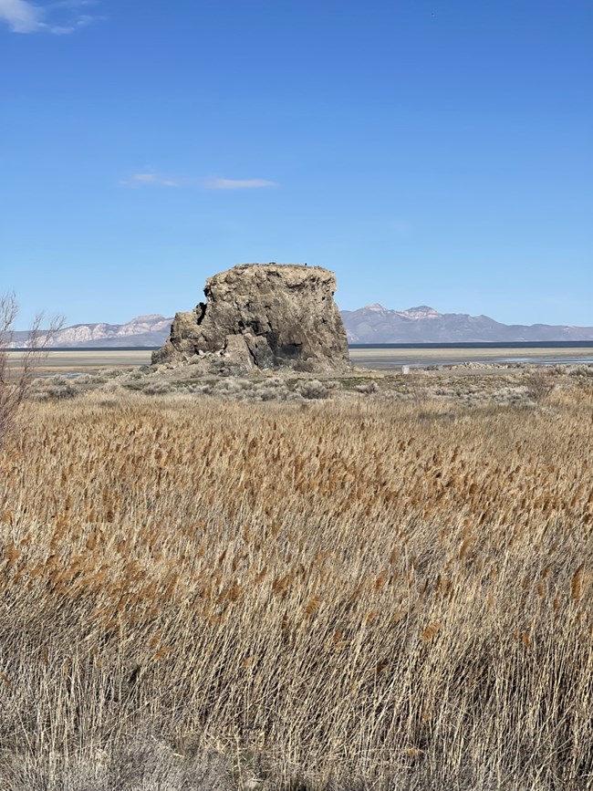
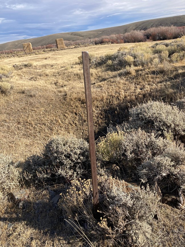
In April 2022, NPS entered into a partnership certification with Utah’s Department of Natural Resources, Division of Forestry, Fire and State Lands, for Black Rock Historic Site (Magna, UT), a significant natural landmark for California trail emigrants traveling along the Hastings Cutoff (Donner-Reed Party Route). The landmark is located about a mile west of the Great Salt Lake Marina State Park and is visible from the westbound lanes of the freeway.
NPS Photo
In April 2022, NPS entered into a partnership certification with Hellyer Limited Partnership for the property Burnt Ranch/9th Crossing of the Sweetwater River (Fremont County, WY). Currently a full-functioning cattle ranch, Burnt Ranch was known as South Pass Station in the trails’ eras, witnessing a consistent succession of important people and groups through South Pass.
NPS Image
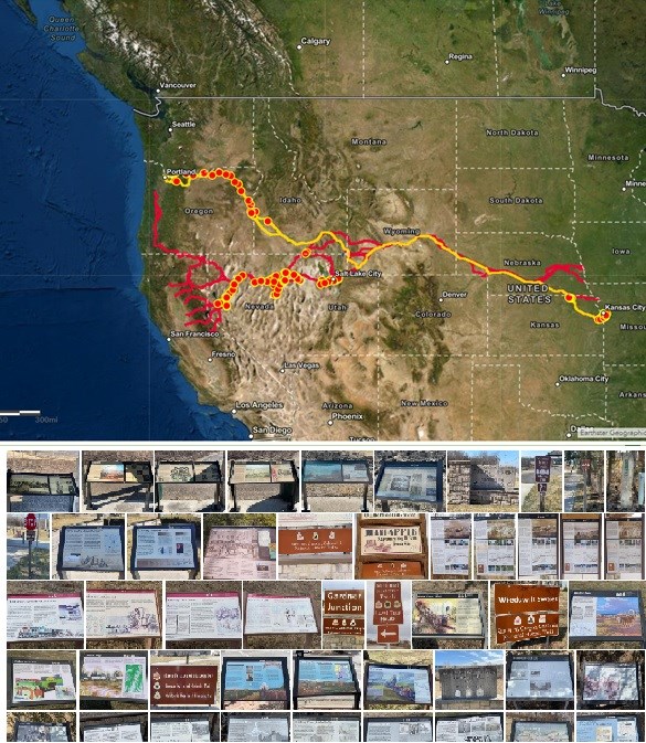
National Historic Trails Wayside/Sign Inventory Application Update
The mobile application (app) is used to track assets along the trail such as interpretive waysides, museum exhibits, and NHT road or pedestrian signs. The app utilizes a user-friendly interface, similar to a fillable PDF, and eliminates the use of complex and sometimes costly GPS devices. The instructional video for the app can now be viewed on YouTube. Below is the link to the video.
There are now 293 California NHT and 181 Oregon NHT (324 Total) waysides/signs that have been recorded by NTIR staff, Oregon and California Trail Association (OCTA) members, and Santa Fe Trail Association members (where the trails overlap). If you are interested in joining this effort, please contact Travis Boley and Dave Welch concerning your interest and copy (CC) National Trails GIS Specialist Brian Deaton on the email.
Updates on External Projects
Descriptions
NTIR is consulting with the Bureau of Land Management concerning a geothermal exploration proposal along the Nobles Route of the California Trail at Gerlach, Nevada.
NTIR is consulting with the Department of Defense regarding the Sentinel project, which entails deployment of the Ground-Based Strategic Deterrent system and decommissioning of Minuteman Missile III in seven western states. The project could affect the California, Oregon, and other national historic trails. Staff is also reviewing the draft Environmental Impact Statement (EIS) and participating in development of a Programmatic Agreement to mitigate any adverse impacts.
Virtual Trail Stories & Experiences
Have you been following the trails on social media? You may have noticed an increase in articles, virtual visits, and virtual kids' activities. People can't always travel to experience the trails in person, so the national trails' staff has been working to bring the trails to your house. You can check out recent and past articles, become a junior ranger, take virtual visits to learn more about trail sites, and more - click the links below!
Connect with the Trails
-
 Oregon Trail Website
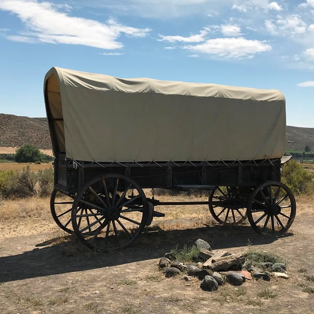
Learn more on the Oregon Trail NPS website.
-
 California Trail Website
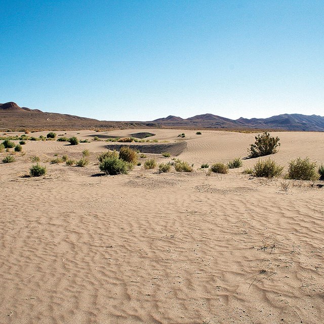
Learn more on the California Trail NPS website.
-
 Find us on Social Media
Learn more about the trails on social media!
