Last updated: April 20, 2024
Article
Checking Little Bighorn Battlefield's Vital Signs

NPS
Rocky Mountain Network Science in the Monument
National parks are the guardians of our unique American natural and cultural history. But perhaps more than ever before, parks exist in a rapidly changing landscape. Development, replacement of native species by invasive exotics, air and water pollution, high visitor use, and climate change all impact the natural web of life. This leads us to ask:
How healthy are our parks?
How are they changing?
In answer, the National Park Service clustered parks into 32 Inventory and Monitoring Networks. In 2007 at Little Bighorn Battlefield and nearby parks, the Rocky Mountain Network began monitoring natural resources, called “vital signs,” that can serve as red flags if conditions deteriorate. We support park managers’ efforts to make science-based decisions.
What Do We Monitor at Little Bighorn Battlefield National Monument?
Stream Ecological Integrity

NPS
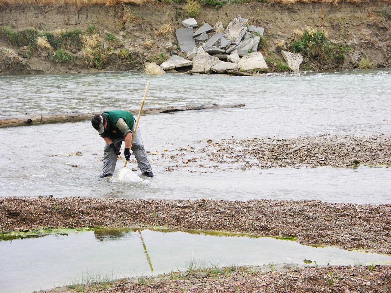
The Little Bighorn River winds its way along the edge of Little Bighorn Battlefield National Monument, nourishing streamside plants and providing a home for tiny aquatic insects, like caddisflies and mayflies. These insects feed fish and other predators underwater as larvae, and additionally feed birds and bats once the winged adults emerge. While the river is vital to the park’s hydrology (water cycle), it also has cultural significance for its critical role in the Battle of the Little Bighorn.
Rivers are sensitive to a variety of stressors. Excessive nutrients from agricultural runoff, sediment from eroding slopes, and air pollution can degrade them. While rivers like the Little Bighorn naturally move back and forth across their floodplain over time, when fine sediment levels are out of balance, riverbanks can erode and alter the river’s historical character. Furthermore, climate change warms rivers and lowers streamflow by shrinking mountain snowpack. This can ultimately affect fish and aquatic insects. Because the Little Bighorn River signals the effects of multiple stressors, we monitor its current condition and keep track of long-term trends to inform the park’s resource managers.
Some resources we measure:
- Water chemistry, like pH and nitrogen levels
- Physical habitat, like woody debris and the size of sand and cobble along the streambed
- Algae and aquatic insects
Learn more and find recent publications:
Stream ecological integrity monitoring in Rocky Mountain Network parks
Upland Vegetation and Soils

NPS
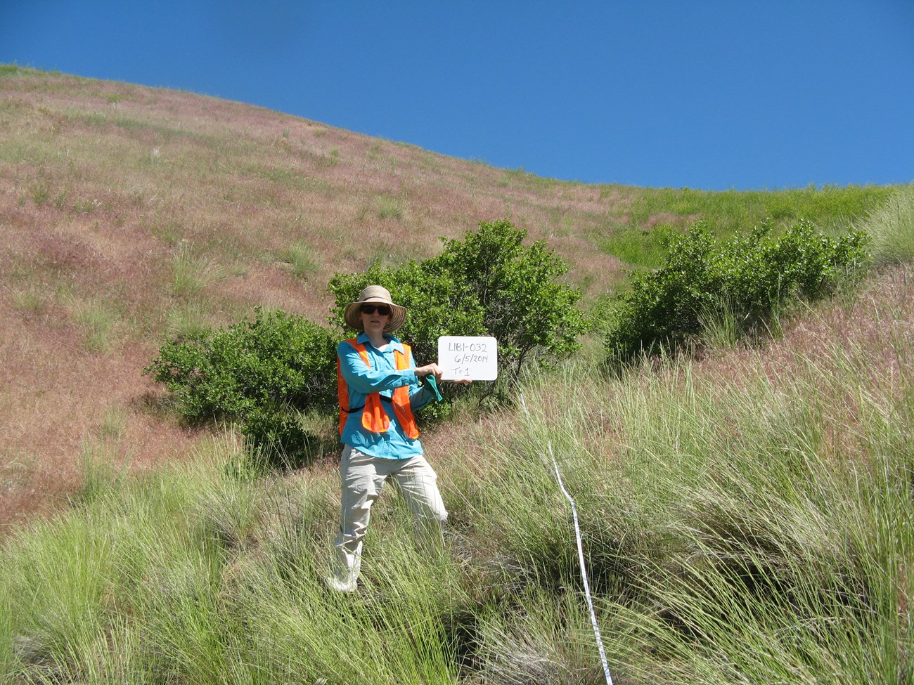
Native mixed-grass prairie once stretched from the Rocky Mountains to beyond the Mississippi River. Boasting colorful wildflowers and rippling grasses, dotted by an occasional western snowberry or big sagebrush shrub, the mixed-grass prairie plant community plays a vital role in cycling water, carbon, and other nutrients through the soil for continual reuse. It feeds and shelters small mammals, reptiles, and birds, like the lark sparrow. In addition, components of the Battle of the Little Bighorn played out on these grasslands, making them integral to the park’s cultural landscape. Today, displaced by agriculture and development, and encroached upon by invasive exotic plants, intact mixed-grass prairie now occupies a tiny fraction of its original range. The remnant patches protected at Little Bighorn Battlefield are particularly threatened by invasive annual grasses, like cheatgrass (Bromus tectorum) and Japanese brome (Bromus japonicus). Recent expansion of these invasives across the northern Great Plains and throughout the park threaten the prairie’s resiliency. They displace native grasses, burn more frequently, and change the character of the prairie away from historical conditions. Research suggests that future climate conditions may boost the spread of problematic invasive species, further threatening mixed-grass prairie. To support park management, we monitor mixed-grass prairie conditions to learn how the prairie functions and responds to stresses.
Some characteristics we measure:
- Native plant species (grasses, forbs, shrubs, trees)
- Presence/absence of invasive exotic plants
- Tree density and proportion of living trees
- Potential for soil erosion (soil texture, bare ground)
- Soil chemistry (pH, carbon, nitrogen, minerals, and the amount of organic matter)
- Disturbances (fire, rodent activity, roads/trails)
Learn more and find recent publications:
Upland vegetation and soils monitoring in Rocky Mountain Network parks
More Information and Vital Sign Publications
Rocky Mountain Inventory and Monitoring Network
Download a printable pdf of this article.
Prepared by Sonya Daw and the Rocky Mountain Network
