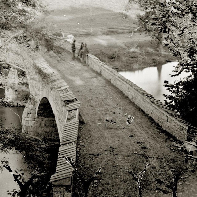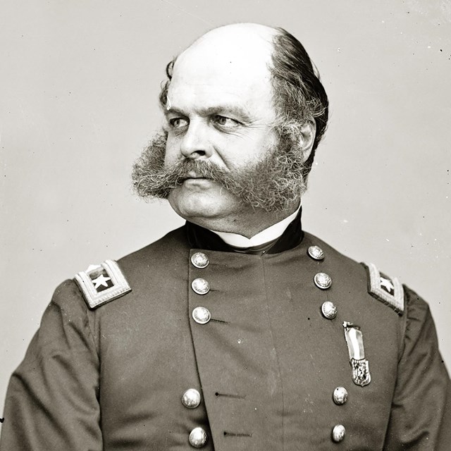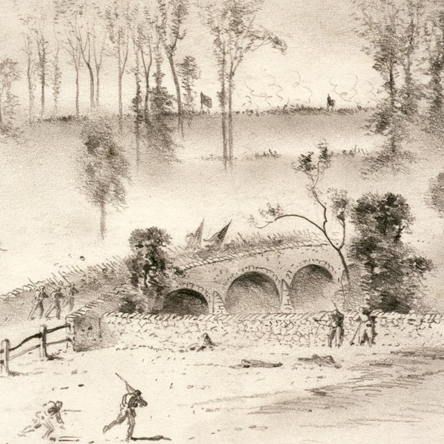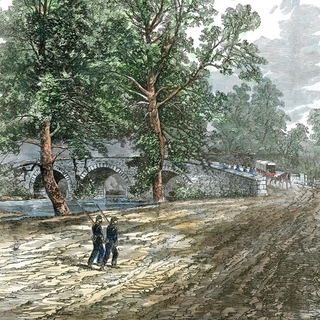
Library of Congress IntroductionThe Union Advance Trail starts at Auto Tour Stop 8, crosses Burnside Bridge, and makes a loop on the east side of Antietam Creek. This one mile trail should take about an hour to complete and is easy except for two hills. However, the surface can be slightly uneven, so good walking shoes are recommended. You will be exploring the area where the Confederates defended the Burnside Bridge, and then crossing over Antietam Creek to see where Union soldiers made their advances to capture the bridge. To get the full story of all of the fighting on the south end of the battlefield, this hike is best combined with the Final Attack trail and guide.Trail Map
The aerial photograph below looks north and shows most of the area you will walk. There are five stops on this trail. You will find an overview of the Confederate defense on the overlook just below the parking area (slightly off of the photo on the left). Stops 3 and 4 are just outside of the photograph on the right. The Confederates defended the high ground on the bottom left of the photograph (west side of Antietam Creek) and the Union soldiers attacked towards the bridge from the right of the image (east side of Antietam Creek). At the time of the battle the road paralleled the creek on the west side, crossed over the bridge, then continued south along the east bank towards the town of Rohrersville.

Aerial photograph courtesy of Ron Smith. Eyewitness“There was no part of the bloody field of Sharpsburg which witnessed more gallant deeds both of attack and defense than did Burnside Bridge. A fierce contest was waged for its possession....the 500 Federal soldiers who lay bleeding or dead along the eastern approach to the bridge were witnesses to the courage of the assaults. On the Confederate side of the stream, Toombs’ two small regiments held their ground, and threw back assault after assault with a coolness and tenacity unsurpassed in history.”William Allen, History of the Army of Northern Virginia, 1862 Union Advance Trail
|
Last updated: April 26, 2023

