How to get hereAmache National Historic Site is in southeastern Colorado about 1.5 miles west of the town of Granada, 17.5 miles east of Lamar, and half an hour drive from the Kansas border. The site is located off Highway 385/50 along the Santa Fe Trail. From Granada:Travel west on Highway 385/50 for one mile. Turn left at the Amache sign onto County Road 23 5/10. From Lamar:Travel east on Highway 385/50 for 17.5 miles. Turn right at the brown Amache sign onto County Road 23 5/10. TransportationGranada, Colorado is a four hour from the closest major airport, Denver International. Colorado Springs Airport is approximately three hours by car. Lamar, Colorado is served by Amtrak and is approximately a 20-minute drive from the park. 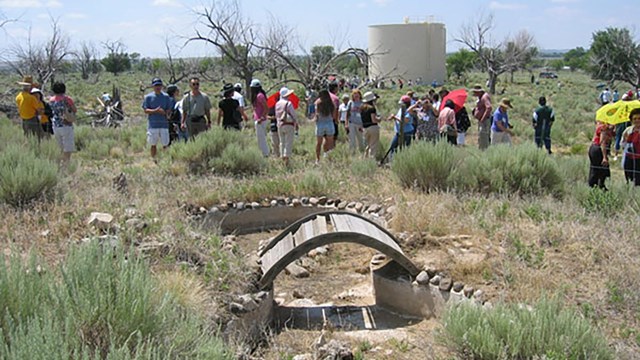
Plan Your Visit
Visit the site and nearby museum managed by the Amache Preservation Society. 
Map
View the map to see where Amache is located. |
Last updated: January 26, 2026