
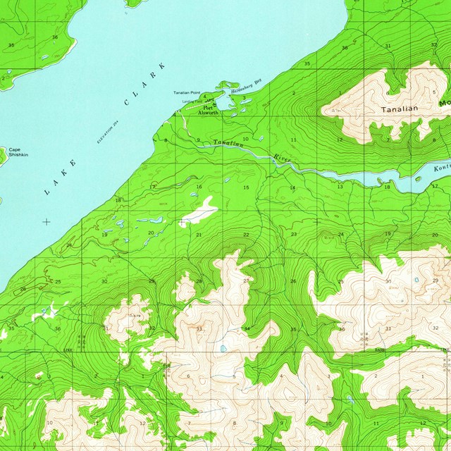
NPS/K. Miller Park Brochure MapsPark brochure maps are used for general reference and should not be used for navigation. If you're interested in obtaining a brochure map, email us for a paper copy or download an electronic version. Topographic MapsPhysical copies of USGS topographic maps of the Lake Clark region are available at the Alaska Geographic Bookstore's Ship Creek location at 241 North C. St, Anchorage AK 99501. Their phone number is 907-274-8440. You can also download USGS topo maps online at USGS Map Locator.
Map Links
|

Last updated: March 25, 2021