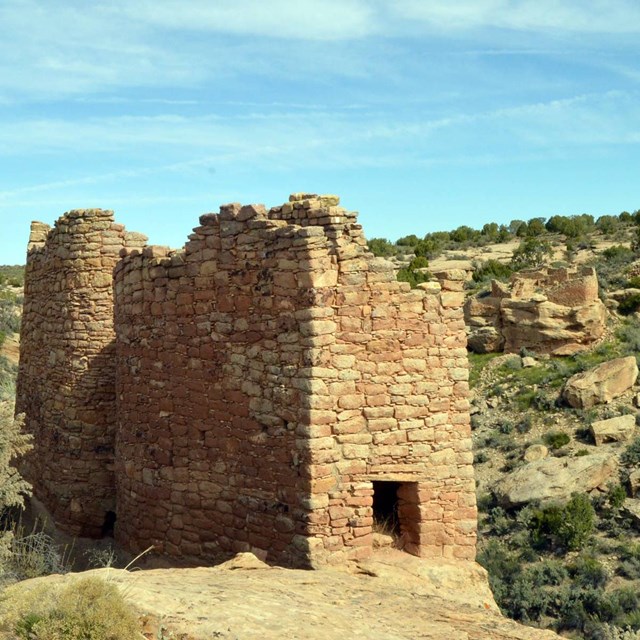
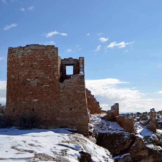
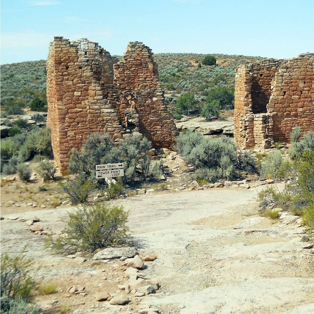
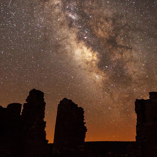
There are park alerts in effect.
show Alerts »
-
GPS Users
Using GPS to find your way to Hovenweep is not recommended. Since Hovenweep has 6 different units with numerous paved and dirt roads intesecting each other, GPS will send visitors to unknown locations other than to the park. Using a map is recommended.
Plan Your Visit
Hikers visit Tower Point Ruin on the Square Tower Group trail
NPS photo by Neal Herbert
Visitors to Hovenweep enjoy short hikes, natural quiet and some of the finest examples of ancestral Puebloan architecture in the southwest. The trail system provides access to each of the cultural site units. All units are open to the public but most are in remote locations and can be difficult to reach. The Square Tower Group is an ideal place to begin your exploration of Hovenweep. Stop by the visitor center, attend an interpretive program, and be sure to hike all or part of the two-mile self-guiding trail around Little Ruin Canyon.
|
Did You Know?
The rocks at Hovenweep were deposited over 100 million years ago during the Cretaceous Period. The landscape at that time featured streams, lakes and flood plains. The Dakota Sandstone forms the mesa tops and cliffs in the area, while the Burro Canyon Shale forms talus slopes.
Need a map?