
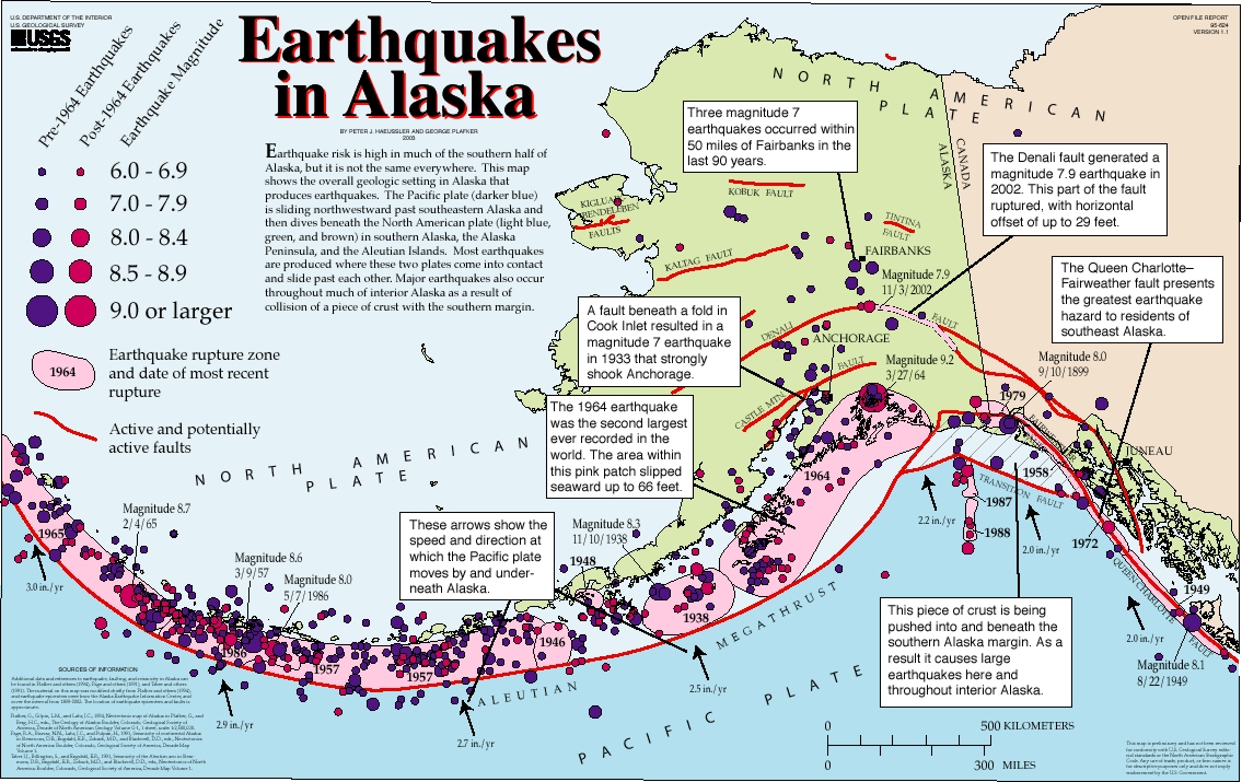
The Glacier Bay region's extreme topography reveals that it is a landscape driven by immense energies. This is a result of the area's position astride the active collision zone between the North American and Pacific plates. This major plate boundary, the Fairweather-Queen Charlotte Fault system cuts across Glacier Bay's western edge. For over 50 million years, the Pacific Plate and Yakutat Microplate have been moving northwest along this fault boundary and plowing obliquely into the North American Plate at about the speed your fingernails grow, or about 50 millimeters per year. 
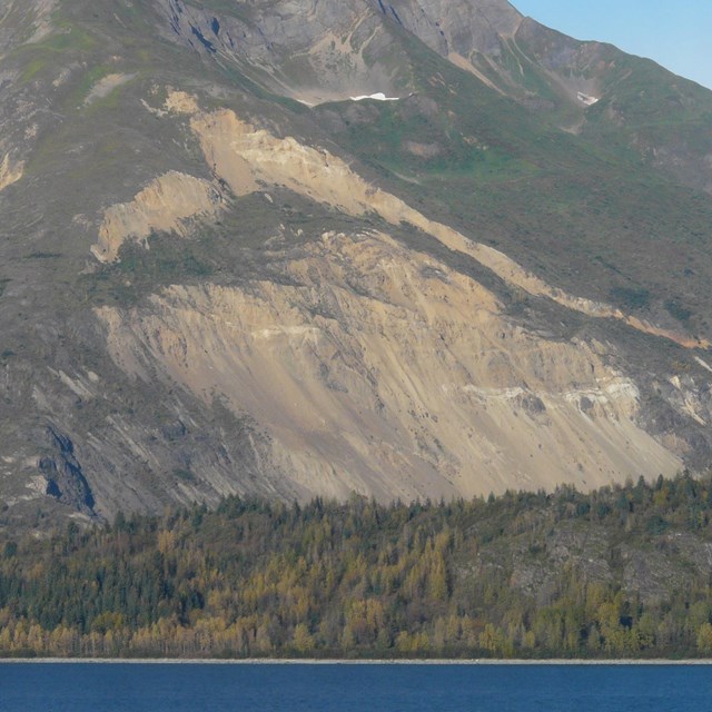
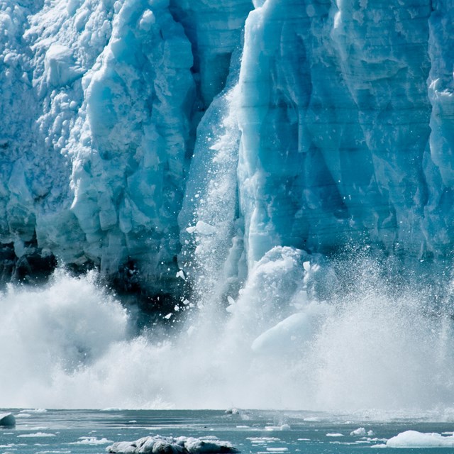
At the present time, the outboard-most terrane and the present continental margin are still “closing the gap.” Frequent earthquakes dramatically illustrate that plate motion continues. As these two plates are forced against each other, the compression has pushed the land upward to form mountain chains. Others are forced downward and melted in the process. Molten rock then oozes volcanically through the shattered landscape. When it cools, it welds together one of the world's most complex geological jigsaw puzzles: Glacier Bay. Moisture-ladened air blown in off the Gulf of Alaska collides with these peaks. As the air rises to go over the mountains, it cools. Cold air holds less moisture than warm air so the air drops its moisture in the form of snow and rain. For at least seven million years, snows have accumulated in the uplands and morphed into glacial ice. Many times in the past when the climate has cooled, these glaciers have slid down the mountains invading the lowlands. During the height of the most recent of these Great Ice Ages about 20,000 years ago, an ice sheet covered all of the Glacier Bay region except the highest peaks and certain headlands. Back then, it would have been possible to walk from Glacier Bay to Cape Cod without ever getting off the ice!
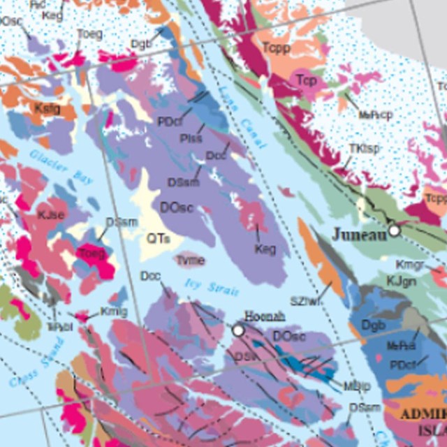
The tectonic plates and boundaries between them haven't always been where we find them today. In Glacier Bay's west arm you can see evidence of a previous plate boundary exposed at the surface in an area referred to as the Tarr Inlet suture zone. In this zone of faulted and deformed rocks there is evidence of an ancient subduction zone where the oceanic Farallon plate was being driven beneath a volcanic island arc as the arc was making its way to North America during the Jurassic and Cretaceous periods. Oriented north south through the park it can be seen at the entrance to John Hopkins inlet and Tarr inlet.
The Tarr Inlet suture zone is one of several ancient plate boundaries that can be found in Alaska. The majority of Alaska is made up of fragments of tectonic plates, each of which evolved over hundreds of millions of years as they travelled around the globe to their current position, attached to the North American continent. These slices of the Earth's crust are called terranes, each one holding evidence of the evolution of the tectonic plates whose movement, creation and destruction have created our continents and ocean basins throughout Earth's history. Four terranes have accumulated in a largely northwest-southeast pattern to form the Glacier Bay region, each with a different story to tell. Some of these terranes are made up of ancient volcano chains that were once in the middle of an ocean that no longer exists. Others have been uplifted from the bottom of the seafloor and hold a record of the life that once lived in ancient seas. |
Last updated: May 26, 2023