
If you have a high-clearance, four wheel drive vehicle, Big Bend's primitive dirt roads provide many opportunities to get off the beaten path and explore the remote corners of this park. 
Protect Big Bend. Always stay on established roadways. OFF ROAD DRIVING IS PROHIBITED.
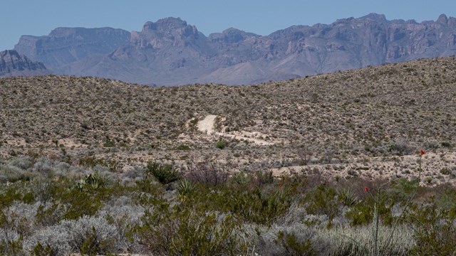
Old Ore Road
Interesting geology and historical sites are among the highlights of this 25-mile rocky, rugged road. 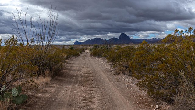
Glenn Springs Road
Explore the desert and enjoy amazing vistas of the eastern side of the Chisos Mountains. 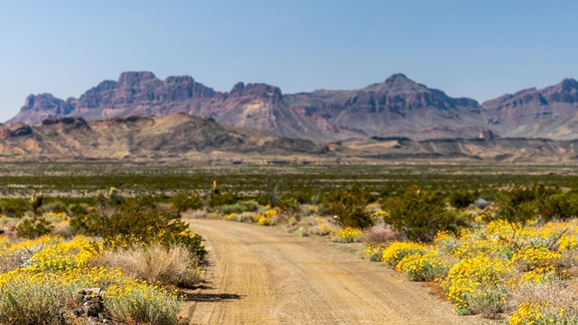
River Road
51 mile primitive route between Rio Grande Village and Castolon. This is the most remote area of Big Bend. 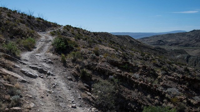
Black Gap Road
Extremely rough, this section of road is NOT maintained, and 4-wheel drive is required at all times. Only for the most rugged vehicles. 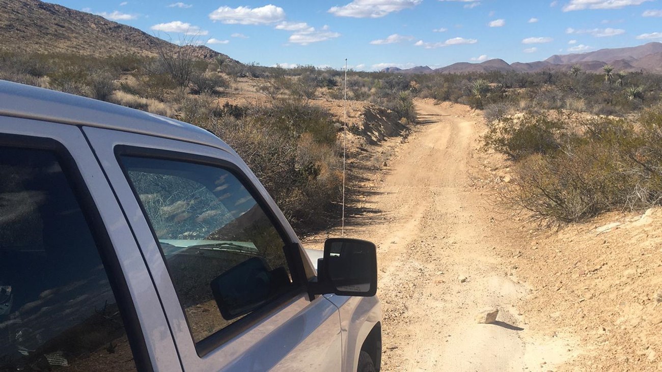
Backcountry Road Safety
Be prepared and equipped. A disabled vehicle on Big Bend's isolated roads can be a life-threatening situation. 
Road GuideGuide to Backcountry Roads of Big Bend National Park |
Last updated: February 18, 2025