|
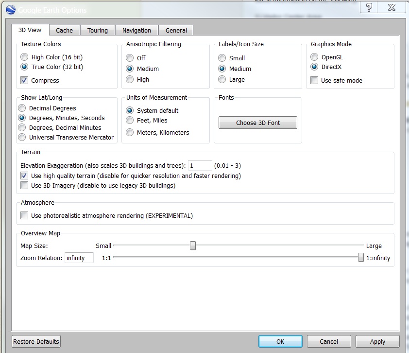
Instructions on how to download and use this KMZ file. Here is a short movie on how to use this map file in Google Earth. Google Earth settings for proper viewing: 1) From the Tools Menu, choose Options
How to change the Imagery date: 1) From the View toolbar, put a check next to Historical Imagery Using the Marine Map Once you have your Google Marine Map loaded and set up it is easy to use and full of information.
References to non-U.S. Department of the Interior (DOI) products do not constitute endorsement by the DOI. By viewing Google Maps on this page the user agrees to these terms set forth by Google. Map Disclaimer: The features of this map were exported to Google Earth by the National Park Service. For information, planning, reference and illustration purposes for Virgin Islands National Park and Virgin Islands Coral Reef National Monument only. The location of marine features is based on the most current park knowledge, which may outdate the underlying imagery. These materials are not verified by a Registered Professional Land Surveyor and are not intended to be used as such. The NPS makes no warranty, express or implied, related to the accuracy or content of this map. |
;)
;)
Last updated: April 14, 2015