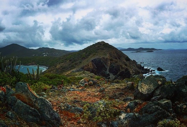
NPS Photo/ A. Smith St. John is located on the northern edge of the Caribbean plate. The Caribbean Plate borders the North American Plate, the South American Plate and the Cocos Plate. St. John is actually located on a part of the Caribbean Plate called a microplate and shares this space with Puerto Rico, Haiti, Cuba, the Dominican Republic and St. Thomas. The oldest rocks on St. John were formed some 100 million years ago during the late Cretaceous period. This is the same time dinosaurs, insects, birds and flowering plants first appeared on the earth! A long process of undersea mountain building and uplift brought submarine ridges and peaks to the surface. This was followed by periods of explosive volcanism, alternated with periods of coral reef deposits, changing sea levels and future intrusion, creating the island we call St. John today. Although there are no active volcanoes located in the Virgin Islands, the eastern edge of the Caribbean Plate is a subduction zone with seventeen active volcanoes along its boundary. The notable volcanoes are found on Montserrat, Martinique, Guadeloupe and Saint Vincent. The first stage in St. John’s development is called the Water Island Formation. This is when the island’s earliest development took place under water. These first volcanic flows were then uplifted to produce exposed rocks. This formation has examples of pillow lava, which are rocks that were formed as lava emerged from an underwater volcanic vent. The next stage in St. John’s development is the Louisenhoj Formation. This was a time of explosive shallow water and subaerial volcanism. The material of this formation contains tuffs or rocks consisting of consolidated volcanic ash. The Outer Brass Formation was the next stage in the island’s development. It was during this time that sediments from skeletons of coral and planktonic creatures slowly accumulated on the slopes of the island. Following the Outer Brass Formation is the Tutu Formation. At this stage, tectonic activity intensified and caused steep submarine sloped and emergence of rocks formed in the Louisenhoj Formation. The last formation to occur on St. John was the Hans Lollik Formation. This was a third period of volcanic activity accompanied by the intrusion of stocks and dikes by contact metamorphism. Even today the geology of St. John continues to change. The Caribbean Plate is rubbing up against and sliding under the North American Plate at a slow rate of less than one inch a year. Even though the change is slow, it still is creating a transform fault boundary, which is a hot spot for seismic activity and earthquakes. Recent earthquake events include:
|
Last updated: October 4, 2018
