



Last updated: October 16, 2026
Thing to Do
Winter Hikes
Hendrickson
Walk into Winter!
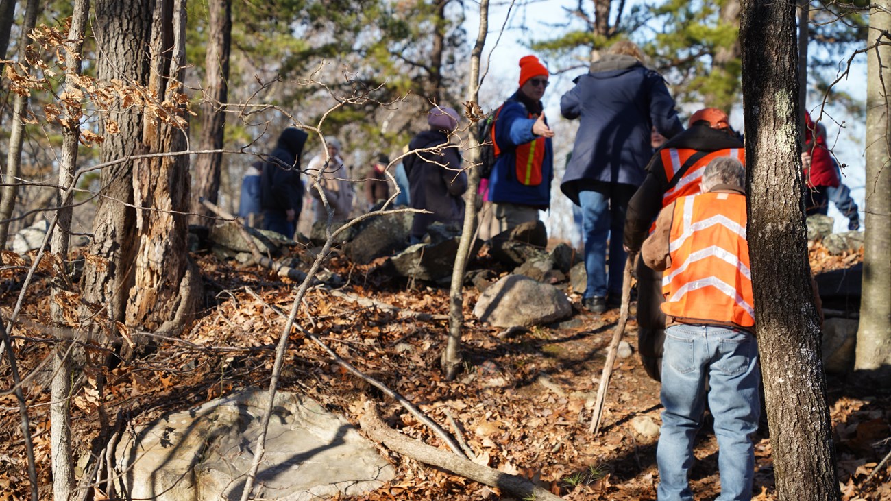
Take a hike with us this winter!
During the months of December, January, and February, rangers will lead outdoor hikes throughout the Blackstone Valley. Enjoy the crisp air and explore new or familiar territory during the colder months.
This is an at-risk activity. Please wear sturdy footwear and comfortable gear suitable for the weather. Many hikes will cover uneven terrain (expect exposed roots, rocks, and mud). Bring your own water and wear orange, particularly during January hikes. Hikes will proceed in the case of light rain, but staff will cancel events if harsh or dangerous conditions are expected.
All hikes begin at 10:00 AM.
Upon arrival at the starting point, look for signs to indicate parking locations.
For all programs, seek additional information and updates/cancellations on our website and Facebook.
Hike Schedule
December 19, 2026: Mercy Woods Preserve (Cumberland Land Trust)
Description: Enjoy paths of contemplation as we explore the trails at the Mercy Woods Preserve. This picturesque preserve managed by the Cumberland Land Trust offers a chance to enjoy the beauty of the Blackstone River Valley in winter.
Coordinates: 42.01464 N, 71.41265 W
Parking (GPS): Turn off Wrentham Road (Route 121) on to Sumner Brown Road. Parking is available on the right after turning onto Sumner Brown Road.
Length: Roughly 3 miles
Hazards: Exposed roots and rocks
December 26, 2026: Moshassuck River Preserve (The Nature Conservancy)
Description: The Moshassuck River played a large role in the expansion of the Industrial Revolution, serving as a connection between the Blackstone River and the bustling seaport of Providence. Join us as we explore the Nature Conservancy trails that preserve some of that history.
Coordinates: 41.91456 N, 71.44240 W
Parking (GPS): 3 Sherman Ave, Lincoln, RI
Length: 2.5 miles
Difficulty: Moderate
Hazards: Exposed roots and rocks
January 2, 2027: Castle Hill (Northbridge Conservation Commission)
Description: Join us on an adventure through the lands of Castle Hill Farm in Northbridge, MA. This farm site has a rich history and deep connection to the Whitin famly, who built a textile empire in Northbridge. Explore this landscape and learn about the links between farms and factories.
Coordinates: 42.10485 N, 71.66858 W
Parking (GPS): 174 Castle Hill Road, Whitinsville, MA
Length: Roughly 2.5 miles
Difficulty: Moderate
Hazards: Slopes and exposed roots
January 9, 2027: Blackstone Gorge (Massachusetts Department of Conservation and Recreation)
Description: This unique geologic feature offers scenic views in one of the most intriguing and picturesque spots in the Blackstone River Valley. Join us as we explore some of the features that supported industry and continue to make the Blackstone Valley a distinct and beautiful place.
Coordinates: 42.015372 N, -71.552609 W
Parking (GPS): 65 County Street, Blackstone, MA
Length: Roughly 1.5 miles
Difficulty: Easy
Hazards: This is a well-maintained trail, but be prepared for rocks and exposed tree roots near steep cliffs. Sturdy footwear and water are recommended.
January 16, 2027: Hopedale Parklands (Town of Hopedale, MA)
Description: As one of the sites in the Blackstone River Valley National Historical Park, Hopedale played a vital role in the progression of the Industrial Revolution. Citizens of Hopedale have enjoyed the Parklands for over 100 years; join us as we set out to as well!
Coordinates: 42.12489 N, 71.54409 W
Parking (GPS): 1 Hopedale Street, Hopedale, MA (Street parking only: parking spaces available along the pond side of Hopedale Street)
Length: Roughly 3 miles
Difficulty: Moderate
Hazards: Exposed roots and rocks
January 23, 2027: West Hill Dam (US Army Corps of Engineers)
Description: Serving as a modern example of water management, join us as we trek over the West Hill Dam and explore the trails managed by the US Army Corps of Engineers. Stick around after the hike for a special tour of the gatehouse with Ranger Ron.
Coordinates: 42.10423 N, 71.60822 W
Parking (GPS): 518 Hartford Ave E, Uxbridge, MA
Length: Roughly 3 miles
Difficulty: Moderate
Hazards: Hunting is allowed at this site. We suggest wearing orange or other bright colors. Expect exposed roots and rocks.
January 30, 2027: Ponaganset Covered Bridge Trail (Ponaganset High School/Town of Glocester)
Description: Whether enjoying an ideal birding location, taking pictures under the covered bridge, or just enjoying a beautiful hike, this trail tucked away behind Ponaganset High School provides the perfect conditions for a winter hike. Join us for a peaceful walk as we enjoy the quiet serenity of the woods.
Coordinates: 41°51'59.29"N, 71°42'42.38"W
Parking (GPS): 137 Anan Wade Road, North Scituate, RI
Length: Roughly 2.1 miles
Difficulty: Easy
Hazards: Few to no trail hazards, just be prepared for environmental conditions
February 6, 2027: Wolf Hill Forest Preserve (Smithfield Land Trust)
Description: Wolf Hill Forest Preserve offers a look into a quintessential New England landscape. Accompany us as we traverse this rocky terrain to take in the beauty the Blackstone Valley has to offer.
Coordinates: 41.89839 N, 71.54025 W
Parking (GPS): 5 Waterview Drive, Smithfield, RI
Length: 2.4 miles
Difficulty: Moderate/Difficult
Hazards: Some uphill elevation with exposed roots and rocks
February 13, 2027: Swan Point Cemetery Trail (Swan Point Cemetery)
Description: On the National Registry of Historic Places, Swan Point Cemetery hosts native plants, migratory birds, and great scenic views of the Seekonk River. Come close out our winter hike series by exploring one of Rhode Island's most beautiful and well-maintained cemeteries.
Coordinates: 41°51'12.05"N, 71°23'12.55"W
Parking (GPS): 585 Blackstone Blvd, Providence, RI. Do not use visitor parking. Look for a sign or a Ranger to direct you to parking. Please park on the side of the road, not the grass.
Length: Roughly 2.8 miles
Difficulty: Easy
Hazards: Exposed roots and rocks, with many downed trees to navigate around, over, or under.
These hikes are presented in partnership with the Cumberland Land Trust, the Nature Conservancy, Northbridge Conservation Commission, MA Department of Conservation and Recreation, Town of Hopedale, US Army Corps of Engineers, Ponaganset High School, Town of Glocester, the Smithfield Land Trust, and Swan Point Cemetery.
Details
Duration
60-90 Minutes
Activity
Hiking
Pets Allowed
Yes
Activity Fee
No
Entrance fees may apply, see Fees & Passes information.
Location
Locations vary by week
Reservations
No
Season
Winter
Time of Day
Day
Accessibility Information
Hiking is an at risk activity. Hikes will be on varying terrain features. Footing can be uneven and visitors should wear sturdy walking/hiking shoes. These programs are not wheelchair accessible. Voice amplification will be worn by Ranger in outdoor settings. Participants should be in good physical health and able to walk extended distances without sitting down.