Last updated: February 10, 2021
Thing to Do
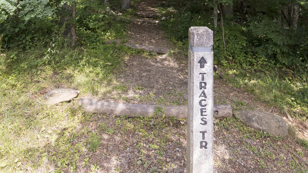
Traces Trail
A hike that follows a trail around Mathews Arm Campground. Along the way, you’ll see traces left behind by former residents of the area.
Distance: 1.7-mile circuit hike
Difficulty: Easiest (explanation of our hiking difficulty scale)
Hiking Time: 1 hours 15 minutes
Elevation Gain: 333 feet
Hike Description
- From the Mathews Arm Campground registration parking area (mile 22.2), take the blueblazed Traces Nature Trail around the campground. It will loop back around to your starting point.
Details
Duration
1-2 Hours
The average hiking duration does not take into consideration fitness, exploration, rest, contemplation, etc.
Activity
Hiking
Pets Allowed
Yes with Restrictions
Pets must be on a leash no longer than 6 feet at all times.
Activity Fee
No
An entrance fee is required to get into Shenandoah National Park.
Location
North District (Mile 22.2)
The trailhead for this hike is located at the Mathews Arm Campground registration parking area.
Reservations
No
Season
Year Round
Accessibility Information
This trail does not meet ADA accessibility guidelines.

Click the image to download the trail map. Print it out at home or save it to your phone to take with you on your hike.