Last updated: July 27, 2022
Thing to Do
Hike the Sullivan Bay Trail
C.Meridith/NPS
Experience the Sullivan Bay Trail with a timelaspe video!!!
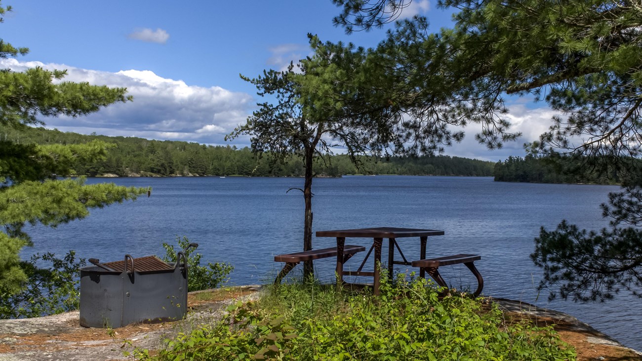
This easy hike along an old forest road leads you through both coniferous and deciduous forest. The trail ends at a viewpoint on Sullivan Bay with a picnic table and fire ring. It treats those who are interested in geology with lots of exposed rock, created by volcanic activity over 2 billion years ago.
Difficulty: Easy
Hiking Distance: 1.5 mile(2.4 km) Round trip
Details
Duration
30-90 Minutes
Activity
Hiking
Pets Allowed
No
Pets are not allowed on trails at Voyageurs national Park to prevent the possible transmission of diseases to the wolf population.
Activity Fee
No
Entrance fees may apply, see Fees & Passes information.
Location
Near Ash River Visitor Center
The trailhead is located 0.9 miles south the Ash River Visitor Center on Meadwood Drive. Parking is on the grassy area in front of the gate.
Reservations
No
Season
Year Round
Summer Use: Hiking
Winter Use: Snowshoe
Winter Use: Snowshoe
Time of Day
Day, Dawn, Dusk
If you are on trail before sunrise or after sunset, be sure to have a flashlight other than your cell phone.
Accessibility Information
This is a wide trail, 3 to 6 feet, on on an old forest road with a few short climbs and descents. The surface is mostly grass with patches of dirt.
Visit our keyboard shortcuts docs for details
- Duration:
- 1 minute, 50 seconds
Trailhead starts at a gate across trail and video goes through whole 0.6 mile trail ending at an overlook of Sullivan Bay with a picnic table and fire ring.

NPS