Last updated: January 24, 2021
Thing to Do
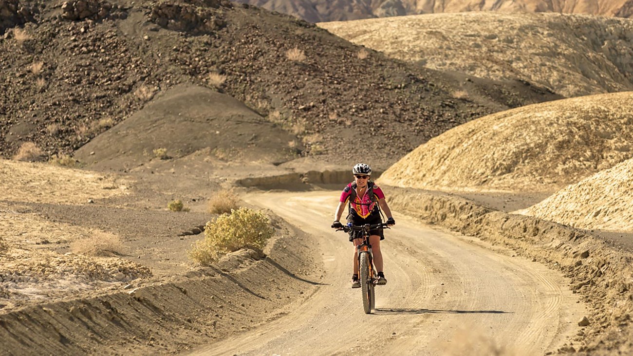
Mountain Biking
NPS/K. Moses
Mountain biking is an exciting way to get up close and personal with Death Valley. While bikes are not allowed on hiking trails in the park, there are hundreds of miles of little-trafficked incredible dirt roads awaiting exploration! Whether you're looking for an easy cruise or a more technical ride, Death Valley has a road for you!
Heading out on a multi-day bikepacking trip? Be sure to fill out a Wilderness/Backcountry Use Permit on our park website, or at Furnace Creek Visitor Center.
Heading out on a multi-day bikepacking trip? Be sure to fill out a Wilderness/Backcountry Use Permit on our park website, or at Furnace Creek Visitor Center.
Suggested Rides
(All distances given are one-way)
Easy
Salt Creek Road
Start: 13.5 mi/ 21.7 km west of Furnace Creek on Hwy.190
Distance: 1.2 mi/ 1.9 km
Road type: mostly level graded dirt road
Level of use: moderate
20-Mule Team Canyon Road
Start: 4.5 mi/ 7.2 km east of Furnace Creek on Hwy.190
Distance: 3 mi/ 4.8km (Note: this can be made into a loop)
Road type: graded dirt road with hills
Level of use: medium
Moderate
Hole-in-the-Wall Road
Start: 6.5 mi/ 10.5 km east of Furnace Creek on Hwy.190
Distance: 4 mi/ 6.4 km
Road type: loose gravel
Level of use: low
Skidoo Road
Start: 9.5 mi/ 15.3 km south of Hwy.190 on Emigrant Canyon Road
Distance: 7 mi/ 11.3 km
Road type: wash-board gravel, some elevation
Level of use: low
Aguereberry Point Road
Start: 12 mi/ 19.3 km south of Hwy.190 on Emigrant Canyon Road
Distance: 6 mi/ 9.7 km
Road type: gravel, some rocky areas and elevation
Level of use: low
Lake Hill Road
Start: 3 mi/ 4.8 km east of Panamint Springs on Hwy.190
Distance: 5 mi/ 8km
Road type: rutted gravel with sand and dips
Level of use: low
Difficult
West Side Road
Start: 6 mi/ 9.7 km south of Hwy.190 on Badwater Road
Distance: 40 mi/ 64 km
Road type: level with wash-board and gravel
Level of use: medium
Trail Canyon Road
Start: West Side Road
Distance: 8 mi/ 12.9 km
Road type: rough uphill into canyon with rocky spots
Level of use: low
Greenwater Valley Road
Start: 7.5 mi/ 12.1 km south of Hwy.190 on Dante’s View Rd
Road Distance: 30 mi/ 48.3 km
Road type: slightly uphill with gravel
Level of use: low
Titus Canyon Road
Start: 2.7 mi/ 4.3 km east of park boundary on Nevada Hwy. 374
Distance: 28 mi/ 45 km
Road type: steep grades, loose gravel
Level of use: medium
Cottonwood Canyon Road
Start: 2.5 mi/ 4 km west of Stovepipe Wells
Distance: 18 mi/ 29 km
Road type: gentle grade, sometimes deep sand at start, rocky in canyon
Level of use: low
Racetrack Road
Start: Ubehebe Crater
Distance: 27 mi/ 34.5 km
Road type: sharp rocks, gravel and washboard
Level of use: medium
Hidden Valley Road
Start: Teakettle Junction, on the Racetrack Road
Distance: 10 mi/ 16.1 km
Road type: gravel
Level of use: low
Details
Activity
Biking
Pets Allowed
Yes with Restrictions
Activity Fee
Yes
Fee included in general park entry fee.
Reservations
No
Season
Winter, Spring, Fall
Time of Day
Day
Accessibility Information
Death Valley road surfaces vary widely. Roads range from graded gravel to unmaintained tracks with washboard and boulders. Check with a ranger to learn the current conditions of the road(s) along your proposed trip before heading out.