Last updated: July 2, 2025
Thing to Do
Whiteoak Falls (Lower)
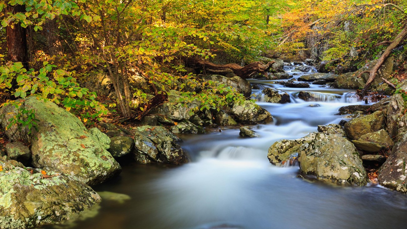
An easier hike to the base of the beautiful cascades and lower falls in Whiteoak Canyon. Note that a Park entrance fee is still required.
Distance: 2-mile round trip hike
Difficulty: Easiest (hiking difficulty scale)
Hiking Time: 1 hours 30 minutes
Elevation Gain: 500 feet
Hike Description
- From the Whiteoak Canyon parking area at the Park boundary, begin on Whiteoak Canyon Trail and keep right at the intersection with Cedar Run Trail.
- Cross a small stream and continue to the base of the lower falls.
- Return by the same route.
Details
Duration
1-2 Hours
The average hiking duration does not take into consideration fitness, exploration, rest, contemplation, etc.
Activity
Hiking
Pets Allowed
Yes with Restrictions
Pets must be on a leash no longer than 6 feet at all times.
Activity Fee
No
An entrance fee is required to get into Shenandoah National Park.
Location
Central District (Park Boundary)
Directions to boundary trailhead from Sperryville: Follow Route 211 to Route 522 south for 0.8-mile. Turn right on Route 231, follow 10.2 miles to Etlan, turn right on Route 643. Follow for 4.5 miles and turn right onto Route 600. Proceed 3.5 miles to parking area.
Directions to boundary trailhead from Madison: Route 29 Business, take 231 north for 5.6 miles to Route 670 at Banco. Continue 3.6 miles to Route 643 in Syria. Follow 0.8-mile on Route 643 to Route 600. Continue on Route 600 to the parking area.
Reservations
No
Season
Year Round
Accessibility Information
This trail does not meet ADA accessibility guidelines.

Download the trail map
Click the image to download the trail map. Print it out at home or save it to your phone to take with you on your hike.