Last updated: February 19, 2021
Thing to Do
Jones Run Falls
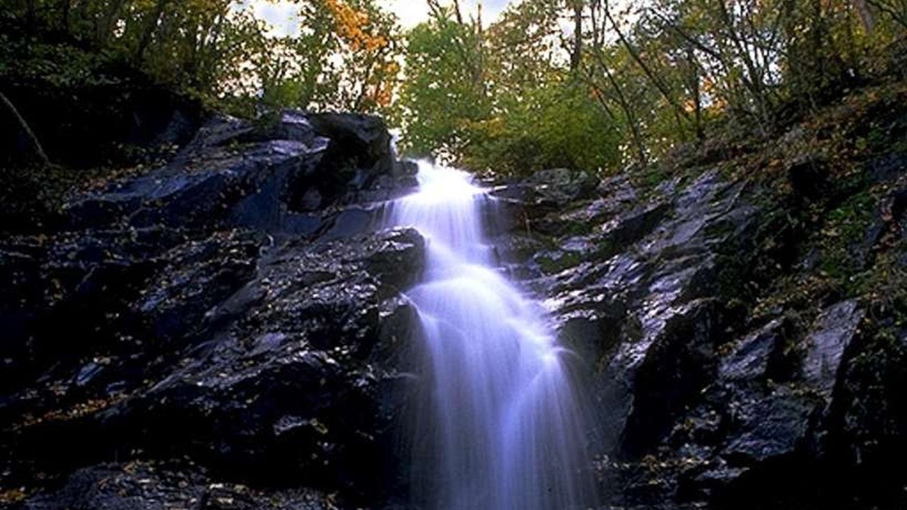
This hike takes you over a mountain stream, through the forest, and beside a 42 foot waterfall. There is one stream crossing.
Distance: 3.2-mile round trip hike
Difficulty: Moderate (explanation of our hiking difficulty scale)
Hiking Time: 2 hours 30 minutes
Elevation Gain: 1,045 feet
Hike Description
- From the trailhead at the Jones Run Parking Area (mile 84.1), cross the Appalachian Trail and follow the blue-blazed Jones Run Trail to Jones Run Falls
- Return by the same route.
Details
Duration
2-3 Hours
The average hiking duration does not take into consideration fitness, exploration, rest, contemplation, etc.
Activity
Hiking
Pets Allowed
Yes with Restrictions
Pets must be on a leash no longer than 6 feet at all times.
Activity Fee
No
An entrance fee is required to get into Shenandoah National Park.
Location
South District (Mile 84.1)
The trailhead for this hike is at the Jones Run Parking area.
Reservations
No
Season
Year Round
Accessibility Information
This trail does not meet ADA accessibility guidelines.

Download the trail map
Click the image to download the trail map. Print it out at home or save it to your phone to take with you on your hike.