Last updated: June 21, 2025
Thing to Do
Hike to Snake Creek Overlook
B. Mills
Trail Overview
Distance: 1.1 miles / 1.8 kilometers
Starting elevation: 8,200 feet / 2,500 meters
Elevation Gain: 260 feet / 79 meters
Difficulty: Easy
Time: 30 minutes - 90 minutes
Begin at: Snake Creek Trailhead
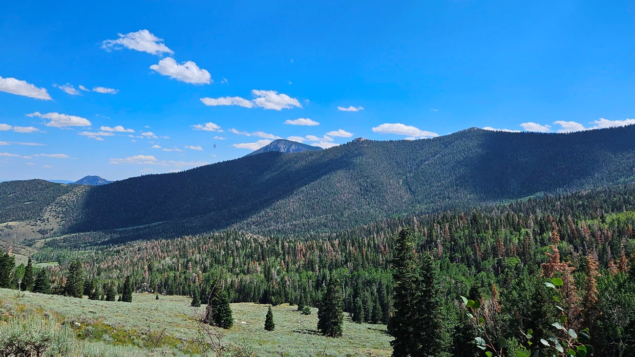
Snake Creek Overlook is a humble trail branching off the Dead Lake Loop just near its start. Providing a scenic view of the valley below and passing by a walk-in primitive campsite, the trail is an excellent way to wind down a day, or prepare for a longer hike after setting up camp or picnicking.
Spring time ushers in a bevy of wildflowers of many colors, some years blooming well into the summer. Find yourself surrounded by pine, fir, and aspen trees as you hike through the forest and gain elevation.
This hike starts at the Snake Creek Trailhead on Snake Creek Road. Stop to park at the trailhead at the road's end. Parking outside of designated spaces or along the road is prohibited.
No pets permitted on park trails. Trained service animals allowed. Learn more about service animal regulations at this link.
Water
Potable water is not available along Snake Creek Road. Pack sufficient water with you, about one gallon per person per day.
Restrooms
The nearest restrooms are pit toilets with no running water at the Snake Creek Trailhead.
Details
Duration
30-90 Minutes
Activity
Hiking
Pets Allowed
No
Activity Fee
No
Entrance fees may apply, see Fees & Passes information.
Location
Snake Creek Trailhead
Reservations
No
Season
Spring, Summer, Fall
Time of Day
Day, Dawn, Dusk
Accessibility Information
This trail is not accessible

NPS
Trail Map
Find the Snake Overlook Trail on the trail map branching off of Snake Creek Road. Snake Creek road's entrance is located east of the park, at about the halfway point of the park's vertical length.
Ranger Tip: While overall an easy trail, some of the elevation gain is concentrated. Take your time approaching the top of the overlook!