Last updated: August 5, 2021
Thing to Do
Hike Ship Harbor Trail

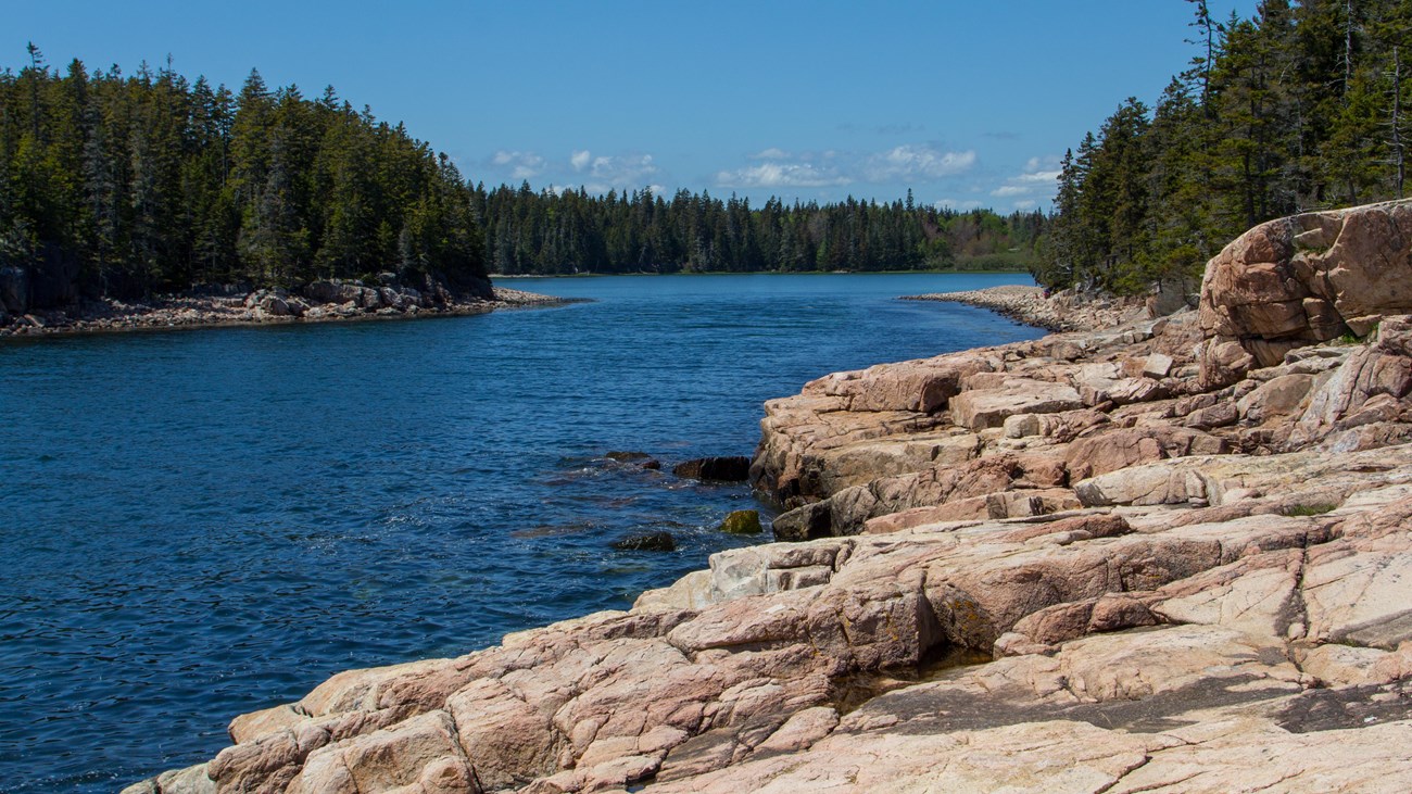
Located off Maine 102A down the road from Seawall Campground and Wonderland Trail, Ship Harbor Trail is a figure-8 trail covering 1.3 miles. It is a great trail for families and birders. Common loons, common eiders, great blue herons, black guillemots, ospreys and eagles have been seen here. A variety of habitats can be viewed along the shore, and there is access to a quiet cove and mudflats at low tide. Interpretive signs provide additional resource information.
Start by bearing right at the first junction. The trail will lead along the shore of a narrow cove. After passing the rocky headland, follow blue blazes on the rocks and turn right again. The trail continues through a spruce woods before opening up again and leading back to the parking lot.
- The Trailhead: Where to Begin
- Access the Ship Harbor Trail off the trailhead parking lot on Maine Route 102A (Seawall Road).
- Getting to the Trailhead
- By Island Explorer bus
- There is no public transportation for this hike.
- By private vehicle
- Start in Southwest Harbor and continue south on Maine Route 102. Turn left onto Maine Route 102A. Follow signs for parking area on the left side of the road.
- Maine Route 102A (Seawall Road) can close during storms or possible flooding. Check alerts for road closures.
- By Island Explorer bus
Park in the Ship Harbor parking lot west of Seawall Campground on Route 102 A. The first one-quarter mile (0.4 km) is a hard-packed surface leading to the mudflats. Access to intertidal pools is over rocky, uneven terrain. Steep grades will require assistance. Total distance is 1.3 miles (2.1 km) round trip.

Photo by Nathaniel X. Boëchat, Friends of Acadia, NPS
Located off Maine 102A down the road from Seawall Campground and Wonderland Trail, Ship Harbor Trail is a figure-8 trail covering 1.3 miles. It is a great trail for families and birders. Common loons, common eiders, great blue herons, black guillemots, ospreys and eagles have been seen here. A variety of habitats can be viewed along the shore, and there is access to a quiet cove and mudflats at low tide. Interpretive signs provide additional resource information.
Start by bearing right at the first junction. The trail will lead along the shore of a narrow cove. After passing the rocky headland, follow blue blazes on the rocks and turn right again. The trail continues through a spruce woods before opening up again and leading back to the parking lot.

Note: Profile may not match route depicted on Maine Trail Finder
Trail Safety Tips:
- Check trail elevation profile before hiking.
- Rocks and roots can be very slippery when wet. Be cautious of footing, especially along the coast.
- Reduce the chance of picking up ticks by staying in the center of the trail, and not stepping on soils and away from brush.
- Always do a tick check after visiting the park.
- Close-toed, good traction shoes recommended for better traction over unlevel surfaces.
