Last updated: February 20, 2025
Thing to Do
Doyles River Falls
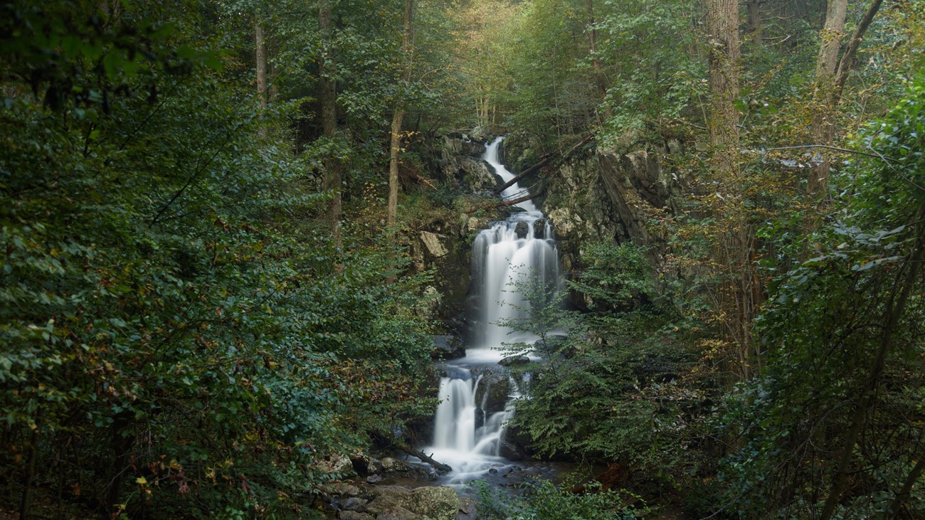
This beautiful trek takes you along cool, clear mountain streams to two unique waterfalls. Be prepared for a stream crossing.
Distance: 3.3-mile round trip hike
Difficulty: Moderate (explanation of our hiking difficulty scale)
Hiking Time: 2 hours 15 minutes
Elevation Gain: 1,189 feet
Hike Description
- From the Doyles River Parking Area (mile 81.1), take the blue-blazed Doyles River Trail.
- Cross the Appalachian Trail and pass the access trails to Doyles River Cabin and Browns Gap Road.
- Trail posts mark the locations of Upper and Lower Doyles River Falls.
- Retrace your steps to return to the parking area.
Details
Duration
2-3 Hours
The average hike duration does not take into consideration fitness, exploration, rest, contemplation, etc.
Activity
Hiking
Pets Allowed
Yes with Restrictions
Pets must be on a leash no longer than 6 feet at all times.
Activity Fee
No
An entrance fee is required to get into Shenandoah National Park.
Location
South District (Mile 81.1)
The trailhead for this hike is located at Doyles River parking area.
Reservations
No
Season
Year Round
Accessibility Information
This trail does not meet ADA accessibility guidelines.

Download the trail map
Click the image to download the trail map. Print it out at home or save it to your phone to take with you on your hike.