Last updated: March 22, 2021
Thing to Do
Blackrock Summit
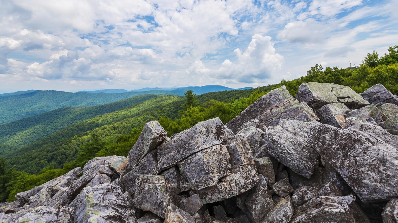
A short hike to a viewpoint on top of a rocky talus slope with incredible views of the Shenandoah Valley, Massanutten Mountain, and beyond. This hike is also a designated TRACK Trail, featuring a self-guided brochure and informational sign that turns your visit into a fun and exciting outdoors experience for kids of all ages. To find out more information about TRACK Trails and to log your adventure,visit the Kids in Parks website.
Distance: 1-mile circuit hike
Difficulty: Easiest (explanation of our hiking difficulty scale)
Hiking Time: 45 minutes
Elevation Gain: 175 feet
Hike Description
- From the Blackrock parking area (mile 84.4), follow the Appalachian Trail south.
- At the trail post, turn right and continue to the boulder field with a great view.
- Continue south on the A.T. around the slope.
- At the intersection, turn left onto the Blackrock Hut Road-Trayfoot Mountain Trail and follow back to the parking lot
Details
Duration
1 Hour
The average hiking duration does not take into consideration fitness, exploration, rest, contemplation, etc.
Activity
Hiking
Pets Allowed
Yes with Restrictions
Pets must be on a leash no longer than 6 feet at all times.
Activity Fee
No
An entrance fee is required to get into Shenandoah National Park.
Location
South District (Mile 84.4)
The trailhead for this hike is located at the Blackrock parking area.
Reservations
No
Season
Year Round
Accessibility Information
This trail does not meet ADA accessibility guidelines.

Download the trail map
Click the image to download the trail map. Print it out at home or save it to your phone to take with you on your hike.