Last updated: March 3, 2023
Thing to Do
Appalachian Trail - Tanners Ridge Road
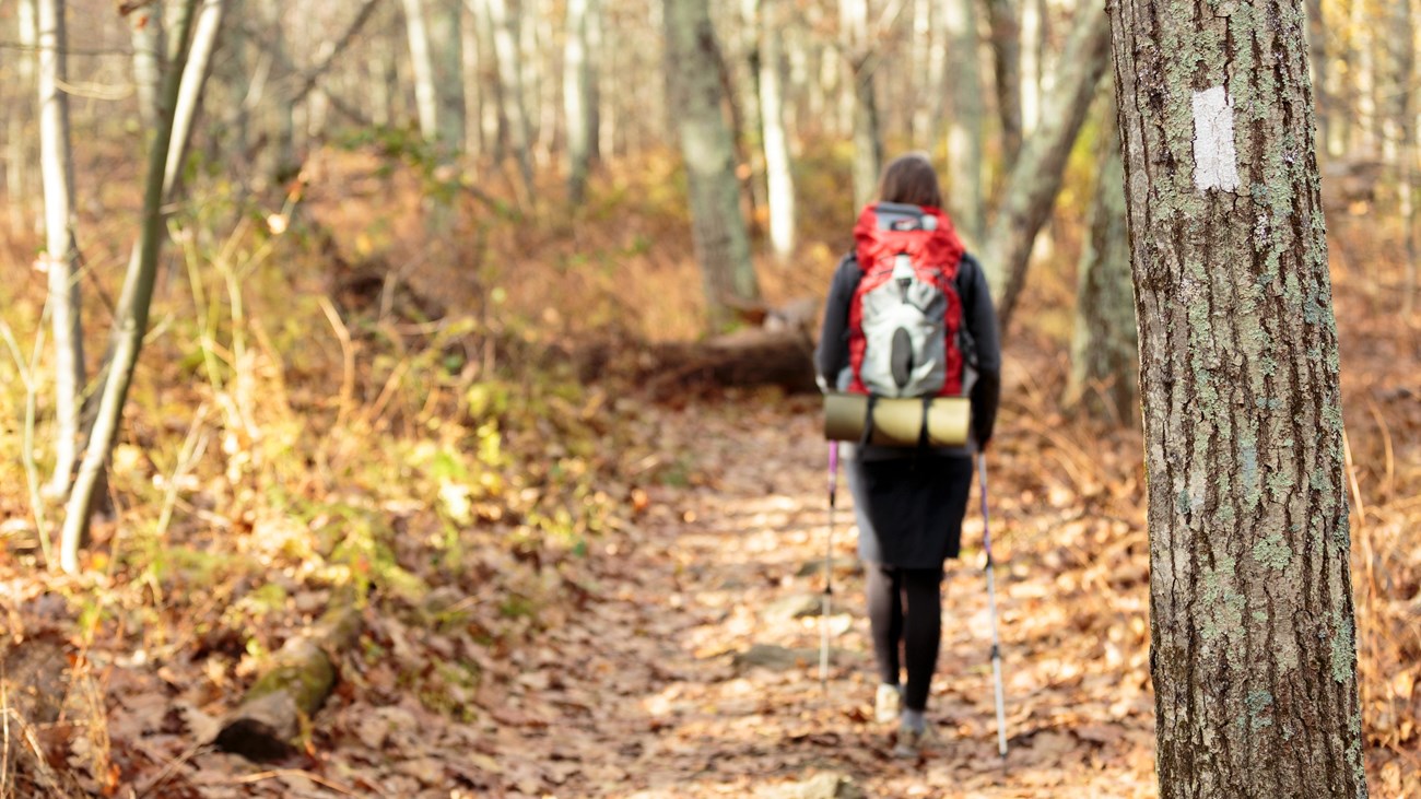
A fairly level hike that takes you through a former homestead on the famous Appalachian Trail.
Distance: 2.1-mile round trip hike
Difficulty: Easiest (explanation of our hiking difficulty scale)
Hiking Time: 1 hours 30 minutes
Elevation Gain: 175 feet
Hiking Description
- From the Milam Gap parking area (mile 52.8), follow the Appalachian Trail (A.T.) north through a former homestead.
- In about a mile, the A.T. intersects with the Tanners Ridge Road. At this point, turn around and retrace your steps to the starting point.
Details
Duration
1-2 Hours
The average hiking duration does not take into consideration fitness, exploration, rest, contemplation, etc.
Activity
Hiking
Pets Allowed
Yes with Restrictions
Pets must be on a leash no longer than 6 feet at all times.
Activity Fee
No
An entrance fee is required to get into Shenandoah National Park.
Location
Central District (Mile 52.8)
The trailhead for this hike is located at the Milam Gap parking area.
Reservations
No
Season
Year Round
Accessibility Information
This trail does not meet ADA accessibility guidelines.

Download the trail map
Click the image to download the trail map. Print it out at home or save it to your phone to take with you on your hike.