Last updated: December 31, 2020
Lesson Plan
You Are Here

- Grade Level:
- Upper Elementary: Third Grade through Fifth Grade
- Subject:
- Math,Science
- Lesson Duration:
- 60 Minutes
- Additional Standards:
- NGSS 4-ESS2-2. Analyze and interpret data from maps to describe patterns of Earth’s features.
Essential Question
What are important considerations when map making? Why are scale and distance useful on maps?
Objective
Students will be able to map the areas that they spend the most time in and comprehend the concepts of scale and distance.
Background
This is a two-part mapping exercise in which students first map from memory where they spend most of their time. The second part introduces the concepts of scale and distance.
Preparation
- Plan the appropriate schedule for the two 1-hour classes, with research time inbetween.
- Plain paper graph paper colored pencils
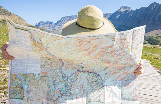
- Map of your area for each student or student group (city or county or USGS topographical)
- Crown of the Continent Ecosystem map - print or make two copies of map; one on paper and one for outline on transparency.
- Montana or Alberta map
- World map or globe
- Clear transparency paper
- Transparency markers
- Masking tape
Procedure
- Ask students to draw maps (from above – a bird’s view) of their school and schoolyard, and one other favorite place they like to play off the school grounds. Have them include as much detail as possible (trees, buildings, natural and man-made objects).
- Have each student share their maps with the class. Do you think the things on your maps are in the right places and are the right sizes compared to everything else?
- Have students go to their play place and measure the sizes of the area and the objects in that area. You may wish to show them how to measure approximate distance with their normal walking pace (two normal steps and measure the distance to the nearest half-foot (or decimeter). They can then multiply that number by the number of paces to get an estimated distance in feet or meters. They may wish to use borrowed tape measures or yard/meter sticks to measure some of the objects in their play area, and the distances between them. Record all results.
- At the next class, have them re-draw their maps more to scale. You may want to work with them on “ratios” (e. g. 1 inch on my map equals 10 feet). You know your class best, so the amount of precision and detail is optional. The idea is to show them that their first perceptions are not always accurate (and sometimes are!).
- Using the transparencies and markers, have them locate and shade-in their entire play place, and their school, on the transparency – while it is laid over a city, county, or USGS topographical map. Have them draw some of the surrounding features, such as roads or buildings, so they can locate their place in the surrounding area. (masking tape will hold the transparencies in place) How big is your play place compared to the City? The County?
- Moving to a larger scale, have them attempt to locate their play spaces on the Crown of the Continent Ecosystem map (you can use the transparency and do this with the whole class or use the paper copy and have each student try to locate their area on 1 "class" transparency that you lay over the hard copy). Try to find the areas on a Montana or Alberta map, and then on a globe. At each change in scale, you may wish to draw the size of the previous (entire) map on a transparency to lay over the next larger map.
Is your play place very far from the Peace Park on your map? On the Crown of the Continent Ecosystem map? Do you think that a grizzly bear can be a resident of Canada and the United States? Do you think any birds from your play place have ever visited the Peace Park? Have any of them visited another country? Another Continent?
Extension
Assessment Materials
Have students write a short essay about where they feel like they belong. Ask them to think about the small places and the big places they belong.
