
NPS photo (EVER 15112)
Introduction
Well before the creation of Everglades National Park in 1947, people lived in what we call the Flamingo area along Florida Bay. Long before the Spanish arrived in Florida, the Tequesta and Calusa tribes lived in the Everglades. It was not until the late 1800s that European Americans began to inhabit Flamingo year round. This unique place has provided beauty and inspiration, but it has also presented its residents with daunting challenges, including isolation, mosquitoes, severe weather, and hard work.
NPS photo (EVER 15032)


NPS photo (EVER 12862)
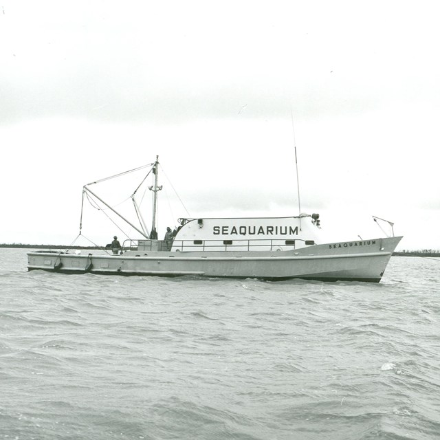
Flamingo's isolation in and of itself challenged residents, who hoped that the creation of a road into Flamingo would solve these issues.
Even after the construction of the Ingraham Highway from Florida City, access to and from Flamingo was not an easy task, as seen by these commercial fishermen’s attempt to travel the road after the Sept. 21, 1948, hurricane.
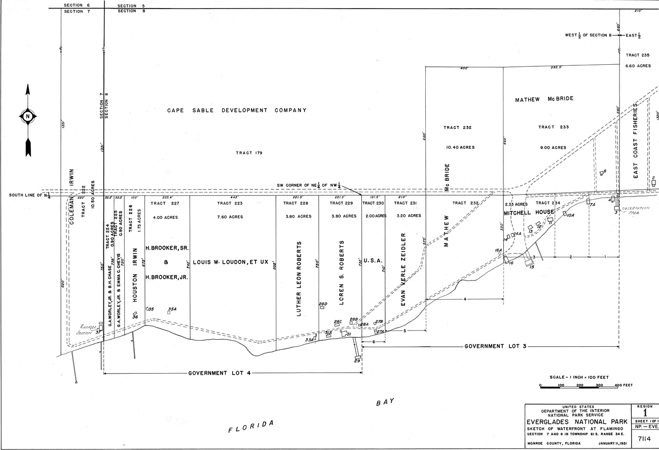
It is a truism that water sustains life but also takes life. It was this delicate balance that Flamingo residents hoped to maintain by living near the life-sustaining waters of Florida Bay while attempting to avoid the bay's dangers. What do the narrow lots on Florida Bay depicted on the map below reveal about the orientation of Flamingo residents as they lived and worked in relative isolation?
NPS photo (EVER 303035)
Challenges of Living in Flamingo
-
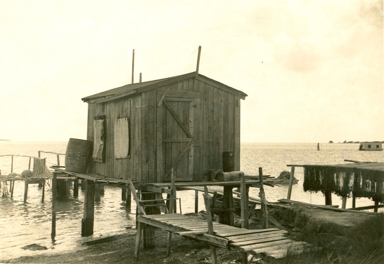
 Isolation
Simple structures like this dotted the landscape in the Flamingo area in the first half of the 1900s.
-
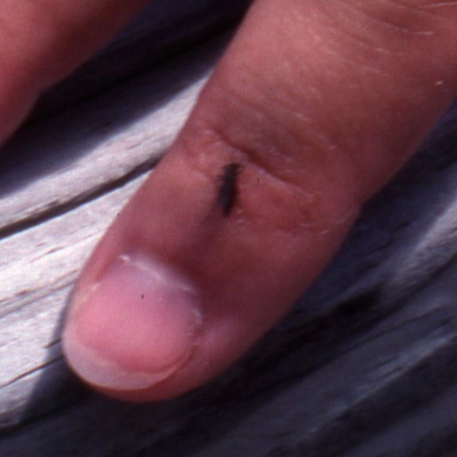 Mosquitoes
Mosquitoes have plagued humans for as long as humans have tried to live along Florida Bay.
-
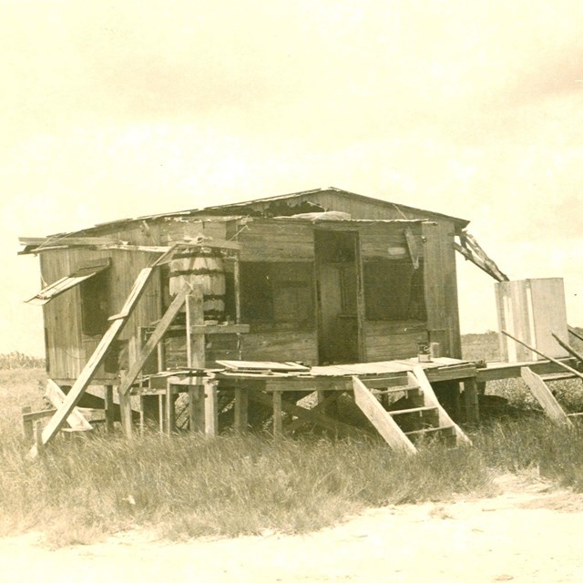
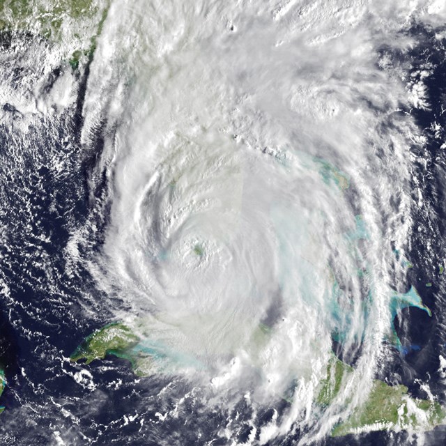 Tropical Weather
Hurricanes sweep across South Florida, leaving trails of destruction.
-
 Making a Living
The rich natural resources in Florida Bay lure people trying to make a living.
-
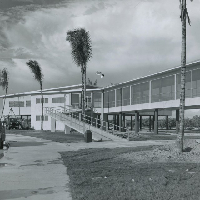 The NPS in Flamingo
The National Park Service transforms life in Flamingo after Everglades National Park is dedicated in 1947.
Last updated: July 16, 2024