Learn about NRCAs
The Natural Resource Condition Assessment (NRCA) Program provides framework, funding, and publishing support to parks to aid in the synthesis and documentation of natural resource conditions. Condition assessment reports are a tool to describe selected park resources, record a snapshot of their current condition, identify trends in condition, and determine potential or current threats and stressors. Understanding the condition and trend of natural resources is key for parks and NPS planners to appropriately prioritize and allocate stewardship resources.

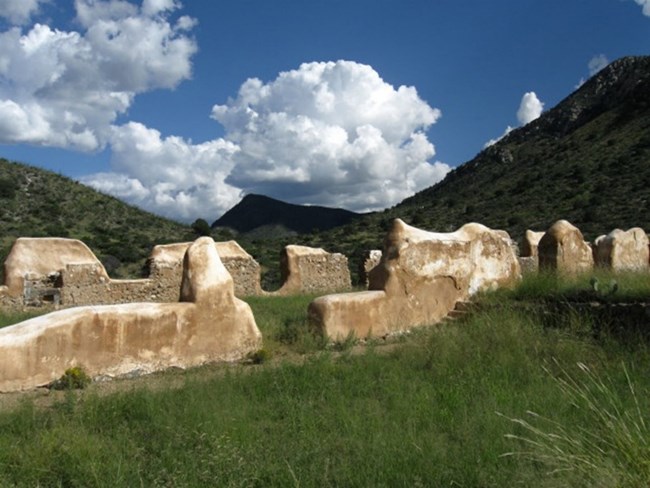
NPS photo
For other reports and natural resource datasets visit the NPS Data Store.
Source: NPS DataStore Collection 7765 (results presented are a subset). To search for additional information, visit the NPS DataStore.
Last updated: August 13, 2025
